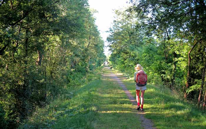
Continuing our progress down the valley of the Arroux, we ambled along peacefully, with only an occasional misadventure.
There were no steep hills, and we avoided most of the bitumen roads by following tiny tracks, which sometimes became a bit more adventurous than we expected.
The weather was uniformly hot and sunny for the whole of this section.
The first day to Tournon seemed slightly long, as there were no bars along the way, but the following two days were so short that the absence of refreshments did not matter.
In Tournon we had one of our worst-ever restaurant meals, but only because we happened to be there when the superior restaurant was closed. However the camping ground was very pleasant.
In Guegnon we stayed in a hotel, and had a good dinner on the premises.
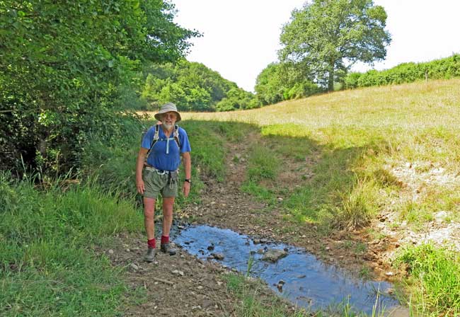
We arrived at Digoin after following the narrowest canal in France – the Rigole d’Arroux. It was here that the Arroux river flowed into the Loire.
The town was familiar to us because we had spent two days recuperating there last year, when Keith’s leg mysteriously swelled up, and it was a pleasure to return.
Day 21: Étang-sur-Arroux to Toulon-sur-Arroux
Day 22: Toulon-sur-Arroux to Gueugnon
Day 23: Gueugnon to Digoin