The Way of Arles, or Via Tolosana, was the only one of the four traditional pilgrim routes which had a destination in both directions, Compostela one way and Rome the other. After the fall of Jerusalem these were the two most important pilgrim sites in Christendom. This route was much frequented at the height of the brilliant Occitan civilisation, and declined with the persecution of the Cathars.
The traditional route has been replicated by a marked pathway or Grandes Randonnée (GR). The Way of Arles is the GR653, and there is an accompanying guide book put out by the French Walking Club, the Fédération Française de la Randonnée Pédestre, commonly known as the FFRP (see Maps and Guides).
There is also an alternative marked track, very similar to the GR653 but not identical, managed by the Amis de Saint Jacques, a religious organisation.
To get the maps and guides for these, it is necessary to acquire a créanciale (or crédentiale), a sort of religious passport, either from your local bishop or from a cathedral or Office of Tourism in France. The créanciale also entitles you to stay in special refuges.
These pilgrim refuges, called “gîtes d’étape” provide basic overnight accommodation and often a communal dinner as well. The food is plain but plentiful and the atmosphere around the table is usually very congenial.
Pilgrims can have their créanciale stamped with the name of the gîte, and can leave comments in the “Livre d’Or” (the book of gold).
An accommodation guide is the strangely named “Miam-miam Dodo” (French baby talk for Eat-Sleep), which lists all the eating and sleeping possibilities along this pilgrimage.
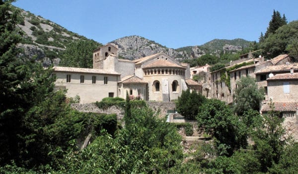
Our experience of this pilgrimage began at Cavaillon and more or less followed the GR653, via Arles, Lodève, Revel, Toulouse and Auch, to end in Pau (we had previously walked between Pau and the Col de Somport, where the GR653 crosses into Spain). It took us 29 days to do this walk.
Our route for this walk
The diary has been broken up into the following sections:
To see icons for each night’s accommodation on this map, press the full-screen symbol at the top right and then tick the accommodation icon box at the top left. Zoom in on a particular icon to see its precise location. These accommodation icons are also shown on all section maps.
You can also see this map using Google Earth and take a virtual flight along our route.