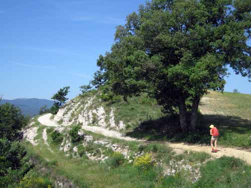
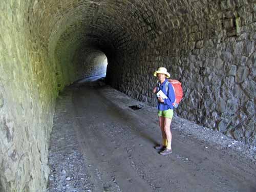
A 42-day, 1110 km walk from Gréoux-les-Bains to Angoulême.
We started by crossing the Luberon to Avignon, then entered the Cévennes, where we took the Robert Louis Stevenson Track (GR70) in reverse to Florac.
From there we went down the Gorges of the Tarn to Albi, and took advantage of other rivers – the Aveyron, the Lot, the Dordogne, the Isle and the Dronne – on our zig-zag course to Angoulême.
A quick visual summary of this walk can be seen in the yearly photo album. For the statistically inclined, there is also a spreadsheet that gives details of distances, costs etc.
Our route for this year
The diary has been broken up into the following sections:
Gréoux-les-Bains to Fontaine-de-Vaucluse
Fontaine-de-Vaucluse to Pont-du-Gard
Pont-du-Gard to Saint-Jean-du-Gard
To see icons for each night’s accommodation on this map, press the full screen symbol at the top right and then tick the accommodation icon box at the top left. Zoom in on a particular icon to see its precise location. These accommodation icons are also shown on all section maps.
You can also see this map using Google Earth and take a virtual flight along our route.