Thursday, 27 May 2010
Distance 28 km
Duration 6 hours 40 minutes
Ascent 142 m, descent 92 m
Map 35 of the TOP100 blue series (or Map 140 in the new lime-green series)
Topoguide (ref. 6542) Sentier vers Saint-Jacques-de-Compostelle via Vézelay
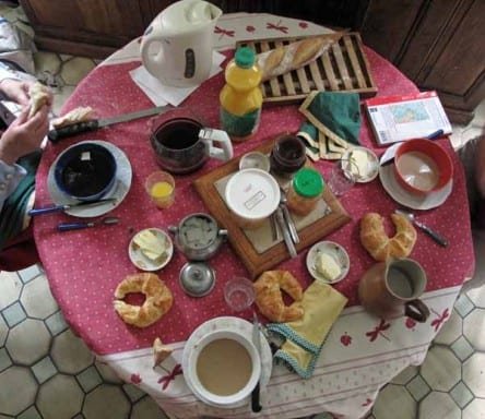
Breakfast was at eight, so we had time for showers in the dilapidated cubicle before descending to greet our busy, talkative little hostess. Once again we sat at the kitchen table and it was a treat to have big bowls of coffee without having to walk miles to get them. The croissants were almost as antiquated as the house, but the bread was fresh, and there was butter and jam to go with it.
While we ate, we looked at the map and Mme Mativon showed us a better way to get to Saint-Amand-Montrond, that did not roam so high into the hills. She also marked the location of some big hardware shops (Gédimart, Bricomart, Weldom), as I had told her that my shoes were disintegrating and needed glue.
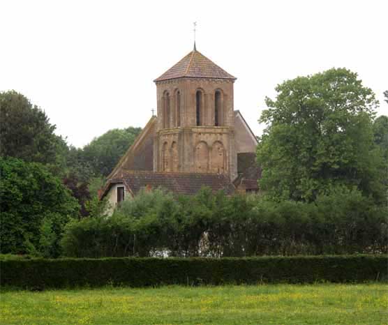
At 8:45, with much shaking of hands and promises of postcards, we set off, leaving the highway almost immediately and following a tiny canal to Saint-Pierre-les-Étieux, whose church steeple could be seen across the fields.
It was a remarkably old church, eleventh century and earlier, predating the golden age of pilgrim churches, with a frontage of affecting simplicity, as if it had outlived all adornment.
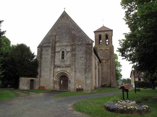
Beyond the village we departed from the GR, taking a lower road, and were surprised to see the blue and yellow marks of the pilgrimage going our way. At this stage we did not understand that these two sets of signs were completely independent.
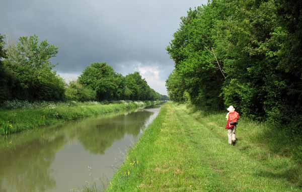
After a couple of kilometres we turned left, crossed the highway, and resumed our walk along the weedy Canal du Berry, where small yellow iris lined the banks and the grassy towpath was sprinkled with daisies.
The sun came out in sky full of clouds as we approached the bridge and turned into the outskirts of Saint-Amand-Montrond.
We hit the highway exactly at Gédimart and went in to ask for something to repair my shoes. The salesman produced a tube of contact glue, not the wonderful Résist-à-Tout that we had bought on a previous trip, but adequate for the purpose.
It was a long walk, past factories and car showrooms, before we came to the centre of town.
Meanwhile the GR had joined us, and we followed it into the old part near the river, where there were low houses and a little church. There we had to leave the GR again, as our aim was to find the shopping area, to get more cash and the next map.
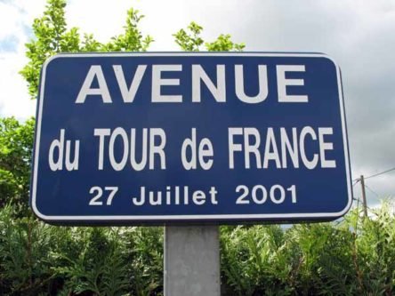
With the help of some local residents we arrived in an area of smart shops, spread through a maze of tight lanes and squares. Our first act was to have coffee, after which we got the money and the map.
It was here that we discovered that a new series of TOP100 maps had supplanted the ones we were used to, with different numbering and on a different grid.
When we left Charenton, we had intended to stop at Saint-Amand-Montrond for the night. It had a camping ground and we could have a restful day visiting hardware shops and doing shoe repairs.
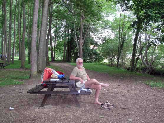
But it had been a very short walk and we had already got the glue, so we decided to press on another 18 km to la Forêt Vieille, although there was no camping there, only a gîte. I made a phone call to book us in and was told that the gîte opened at 4 pm.
We left Saint-Amand-Montrond about midday, over the road bridge on the Cher and into the twin town of Orval. Here we found a delightful park with picnic tables under tall trees, and stopped for lunch.
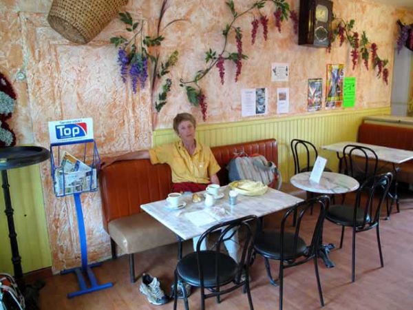
The blanquette de veau tasted a lot better cold between pieces of bread than it had when we first tried it.
Before we had quite finished, rain began to fall, so we hastily packed up and retired to the bar across the road for a post-prandial coffee indoors.
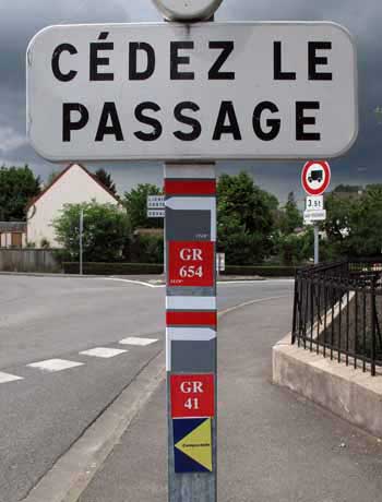
The road we were on took us uphill and soon the GR came up steeply to meet us at the edge of the houses. We went on through farmland, crossed the autoroute and found ourselves climbing in a thick wood.
We were on a small road that continued to Vilaine (no more than a couple of houses), where we branched off from the GR, having seen a better way on the map.
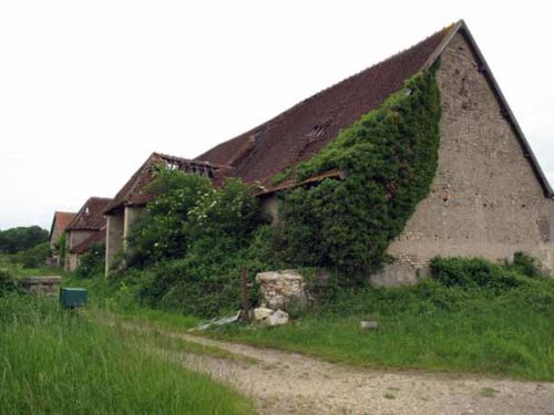
We walked over an open plateau, passing occasional impressive old farmhouses, with outbuildings around a central courtyard, all falling now into disrepair.
As we skimmed along, a weathered, Lycra-clad cyclist came towards us. We stopped for a chat and he urged us to go a different way, twice as long, but prettier – typical of bike-riders.
He spoke to us in a sort of baby-talk: “Ici…route! Là-bas…plus joli!” We thanked him and ignored his advice. It was very pretty where we were, anyway.
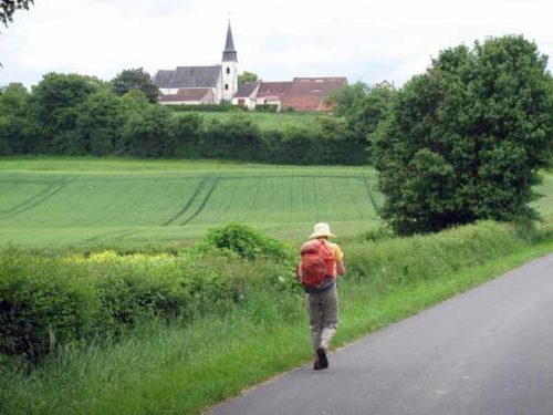
Far ahead on the horizon, we could see a slender black and white steeple, which we assumed was at Arcomps, but when we got closer we realised it was on the nearby hilltop of la Cure.
Arcomps itself straggled along a low ridge, with cows in the street and fields between the houses.
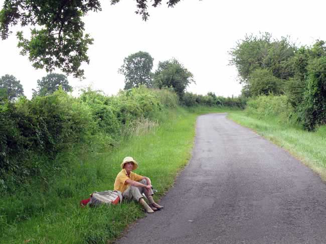
The little road dipped, then rose, at which moment the clouds that had hung over us all day sent down another flurry of rain, and we sprinted for the protection of a spreading tree growing out of the hedge.
Soon the rain dwindled to a sort of falling mist and we continued the last few kilometres to Loye-sur-Arnon.
This village had another fine old church and the recent acquisition of a café-restaurant, too recent to appear in the Topoguide.
However we did not visit it, as we knew we were close to the gîte and we were on a mission to get there before the next fall of rain. The GR described an absurd zigzag of 3 km, but we took the rising road and got to the same point in 700 metres.
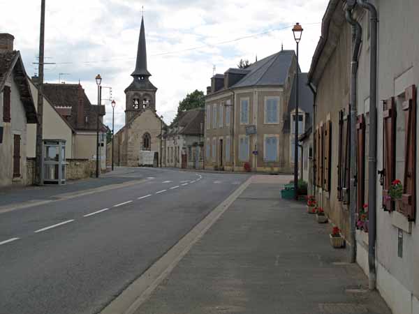
From here it was half a kilometre to our destination, according to the Topoguide, but unfortunately it was a country half-kilometre, and we walked twice that distance before we found it. I brought up the rear, dragging myself along with the last of my strength.
We arrived at a long farmhouse made of several parts, with a recently added grand staircase and a glass house against the rose-covered wall.
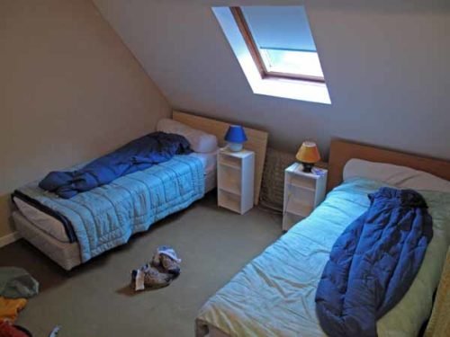
Nobody was about, so we opened the door marked with a pilgrim sign and found ourselves in a veritable doll’s house, with a tiny kitchen and bathroom downstairs and four beds in a dormitory above.
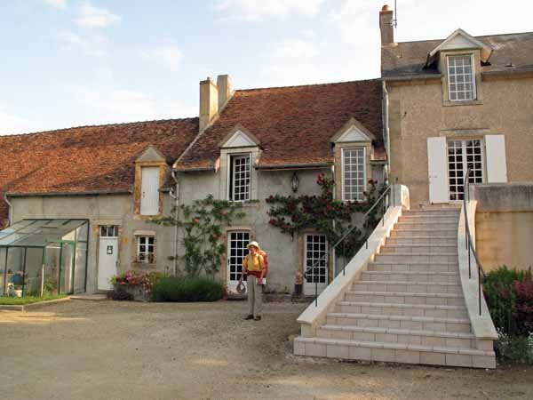
Everything was tidy and spotless, unlike last night. We felt a bit like Goldilocks as we cast ourselves down on the beds and gave in to exhaustion.
A little while later an old woman came in and called up to us, but, seeing that we were collapsed on the beds, said that she would come back later. In fact it was her husband who returned, a grave, courteous, dome-headed man, speaking careful English.
His name was Paul and he brought his middle-aged son François, with whom I had spoken on the phone. They were relieved to be able to speak French to us, transferring the effort to our side.
Paul explained that he and Annie were too old to cook for their guests, but there were supplies in the kitchen that we could use. He would provide wine and the makings of breakfast, while François would give us a lettuce from his garden.
We told them that we normally camped, but were pleased to be under a roof tonight (it was raining copiously again). Paul said that they were intending to set up a little camping area in front of the gîte later in the year.
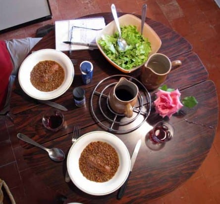
No other walkers arrived and we passed a delightful evening in our little toy house.
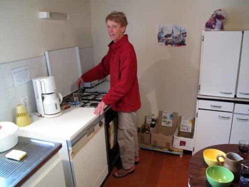
For dinner we had tinned soup, followed by tinned lentils with a single sausage each, and the salad from François. Our hosts had thoughtfully put a rose on the table, so it was positively elegant.
On Fridays and Saturdays the restaurant in the village was open and our hosts would take their visitors there and bring them back, or get a cold meal delivered. But this was Thursday and we were just as happy pottering about in the kitchen.
Previous day: Sancoins to Charenton-du-Cher