The whole of the south-west of France was once under the ocean, with the shoreline defined by the dark volcanic rocks of the Massif Central – the northern plateau of Limousin, the Auvergne to the east and the Cévennes and Rouergue further south.
Into this great shallow basin was deposited a hard base of clay and sand. Then, over millions of years, the bones and shells of sea creatures added their contributions, forming a layer of limestone thousands of feet thick.
Gradually the sea-bed rose, and when the Pyrenees reared up about 50 million years ago, the limestone sheet, now exposed, was squeezed northwards and formed long cracks, or faults. These became the rivers of the new land, carrying the waters that poured off the high surrounding hills.
The tumbling mountain streams carved gorges in the tough rock of the old shoreline, but when they reached the softer limestone below, the erosion was much more drastic.
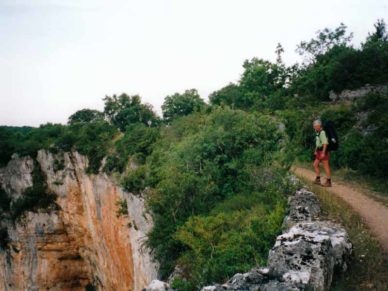
Before long the limestone was worn right down to the original hard sea-bed, leaving high perpendicular cliffs on either side. The plateaux separating these rivers are the remains of the limestone sheet and are called “causses”.
The rock here is very porous so that rain, instead of forming streams, soaks into the ground, percolating down through countless tunnels and chambers, until it reaches the hard base-rock, where it emerges at the base of the cliffs as cold, powerful springs.
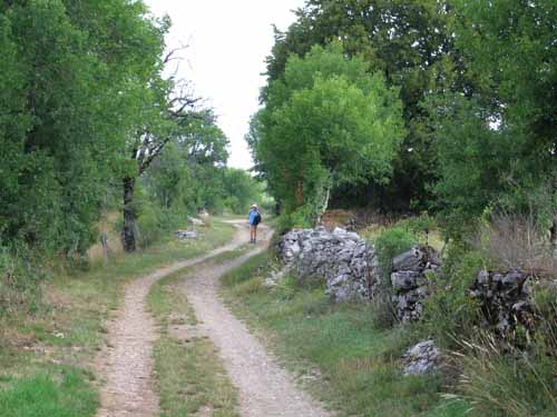
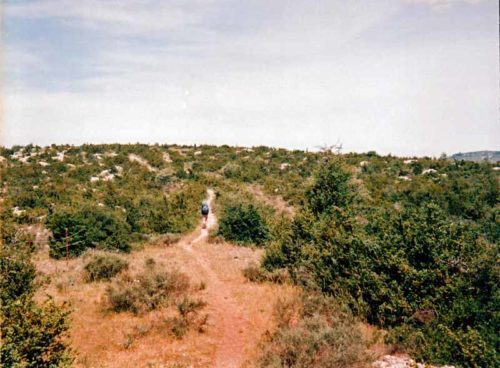
The land on the causses therefore has an arid, stunted look, whereas the river valleys are gardens of Eden.
The whole landscape is a fan of waterways, which is why the Romans named it Acquitania, the land of waters.


