Wednesday, 13 July 2011
Distance 19 km
Duration 4 hours 35 minutes
Ascent 40 m, descent 70 m
Map 134 of the TOP100 lime-green series
When we got up at about 6:15, the sky was clear but the ground was sodden from the rain that had fallen during the night. It is remarkable how often we escape being rained on because of French rain’s habit of falling more at night than in the day.
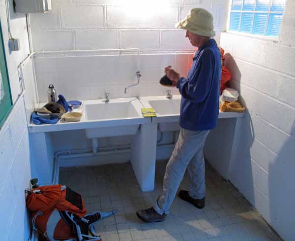
We moved our possessions over to the dryness of the laundry while we prepared our bowls of muesli, and hit the road without delay. Needless to say, there was no sign of the camping guardian, so we had free accommodation for the night, despite having twice offered to pay.
The seven o’clock bells were ringing in Villefranche-sur-Cher as we got to the canal towpath, where we resumed our uneventful way between walls of dense greenery.
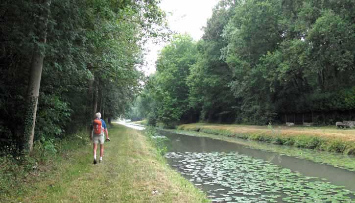
The banks had been recently mown and there were patches of water lilies on the surface of the canal. Small creatures, surprised by our arrival, flung themselves into the water – frogs and ducks for the most part, but also the occasional otter.
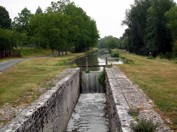
Gradually the surroundings opened out a little. We passed a lock, whose narrowness reflected the unwise decision of the makers of the Canal de Berry to save money by reducing its width. This led to its eventual abandonment, even for pleasure craft.
We had been following the GR41, but just before the village of Gièvres it suddenly veered off from the canal and took the road towards Chabris. However we continued along the canal, hoping for coffee.
Our usual rule-of-thumb when approaching a village is to head for the church, as the shops are usually nearby, so when we came level with the church spire, we crossed a footbridge and plunged into the streets.
In this case, the church stood alone, devoid of commerce of any sort, so we pressed on and came to a lone boulangerie, where, after buying a baguette,a croissant and a pain aux raisins, we asked about a bar and were directed to the railway station.
By the time we got there, we felt that we had walked a complete circle (although it was only three-quarters of one) and we could not see the bar until we were almost at the door.
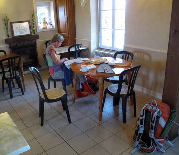
It was a small railway hotel, actually, run by a diminutive man and his much larger, fleshier wife, and we were the only customers, as it was still only nine o’clock, although a couple of locals wandered in while we were there.
With our coffees and pastries spread out on the table and our shoes off underneath it, we enjoyed a moment of indoor repose.
From the bar it was only a short walk back to the canal by the main road.
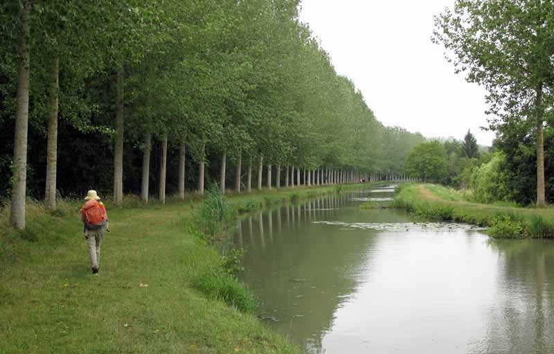
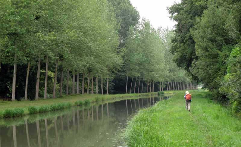
For the next two hours we trudged along the towpath, not as easily as before, as in this part it was shaggy and untended. The sight of regular lines of trees reflected in the water, while beautiful, was losing its novelty.
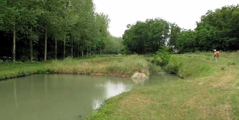
Not far from Selles-sur-Cher we came to a place where the canal had been filled in, with a only a small connecting trench between the two ends.
This seemed to mark the partition of the navigable and non-navigable sections of the canal, because we saw boats on the water the following day for the first time.
We left the towpath when the canal passed under the D176A and followed the road into the centre of Selles-sur-Cher.
At the river, we turned left across a bridge and saw the camping ground beside us, but decided to keep going into the centre, in an effort to get to the Office of Tourism before it closed.
We needed a new list of accommodation for the new department that we were in (Loir-et-Cher), as well as a new map.
We were near the edge of the map that we were using, and all the shops would be closed tomorrow, for Bastille Day.
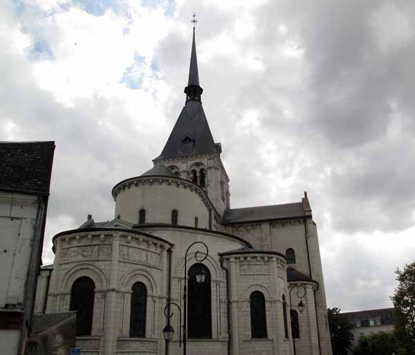
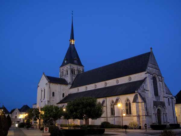
Entering the town through a grey maze of alleyways, we emerged into a scene of celestial lightness – the handsome white church surrounded by a white-paved square, planted with young trees and lined pleasingly with shops and cafés.
Having collected all the documents that we needed, we retired to a sunny bar terrace to study them. We had not been there more than a few minutes when we saw our Australian friends swinging up the street, to our mutual astonishment.
They were coming to investigate the restaurants for tonight, but first sat down with us for coffee, with much excited chatter all round. Then we all wandered about until we found a good-looking pizzeria for this evening, and parted company until then.
We took a more circuitous route back to the camping ground (only out of curiosity), paid our €7 and set up our tent near a small tree that was festooned with paper lanterns for tomorrow’s celebrations.
A solid line of caravans occupied the river bank but there was plenty of space on the grassy meadow further back and we were not desperate to be in the shade, as it was surprisingly cold when the sun went behind the clouds.
We had showers and ate our lunch at a white-painted concrete picnic table before retreating to the tent for an afternoon nap.
Late in the day we walked back to town, discovering as we did so a very direct pedestrian short-cut, and searched in vain for a bar showing the Tour de France.
In the end we went back to the same pleasant bar that we had visited in the morning, adjacent to the church.
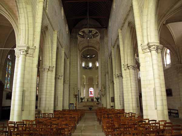
We even did a bit of tourism – we stepped into the church, whose interior was as white and scrubbed and cheerful as the exterior.
We were not surprised to learn that there had been a shrine on this spot for at least 1500 years, probably much longer.
When we reported to the pizzeria at 7:30, our friends were already there and so were a great many other people – it was evidently the place to be that evening.
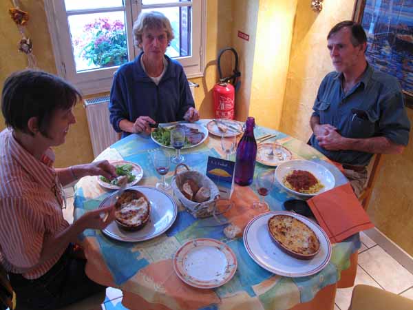
We had green salads followed by lasagne, steak and “tag bolo” (The French version of “spag bol”). Instead of the house wine, we had two bottles of dark Sicilian wine.
Still talking vigorously, we went back together to the camping ground so that David and Jeanette could see our tiny tent, looking even tinier in the gathering dark.
They had seen it at Bas-en-Basset two weeks earlier and had not changed their opinion about its inadequacy, but we insisted that it had all the comforts.
Previous section: Mehun-sur-Yèvre to Villefranche-sur-Cher