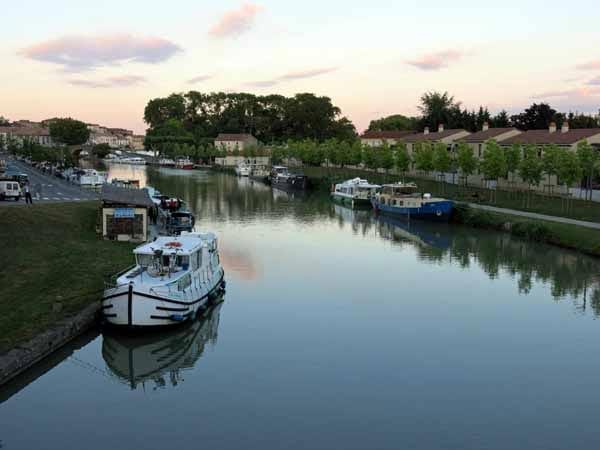
This is the longest and most famous canal in France, and one of the oldest. The idea of constructing a waterway between the two French coasts, the Mediterranean and the Atlantic, had been in the wind for centuries before it took shape.

There were great dangers in the month-long sea voyage through the Straits of Gibraltar, not only from the enemy state of Spain, but also from pirates who infested the waters along the route.
Indeed, one of the reasons that Leonardo da Vinci was invited to France in the early sixteenth century was to work on the engineering problems of the canal, but it was not until 150 years later that the project finally got under way, impelled by the passion of a rich, elderly landowner of Languedoc, Pierre-Paul Riquet.
With royal support, the work began in 1666 and the canal was opened in 1681, a few months after the death of Riquet. The modern reader may take comfort in the fact that even in those times, projects ran over budget. The original estimate of 3.4 million livres blew out to 15 million, of which 2 million were from Riquet’s own purse.

The main technical problem was supplying water to the highest point so that the locks could operate. There was a height difference of nearly 200m between the sea and the summit.
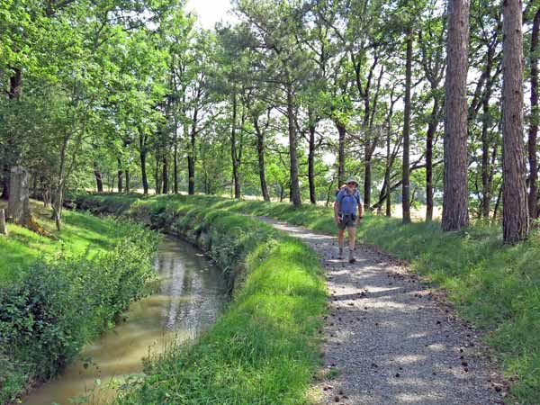
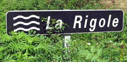
This was solved by damming a stream coming out of the Montaigne Noire, forming an enormous pool from which water flowed down a narrow, twisting conduit (the Rigole) to feed the canal at Naurouze.
There were many other problems, such as crossing rivers and getting past obstructing hills. The first of these was solved by building canal-bridges or dams, and the second by the first canal-tunnel in the world.
A surprising amount of the expertise (and labour) was provided by people from the Pyrenees, mainly women, who had inherited the hydraulic skills of their Roman spa-maker ancestors over a thousand years before. These proved more useful than the skills in fortifications and ballistics possessed by the military engineers of the time.
There was a long time lapse between the sections of this walk. We did the first section in 2015, and the second section (including the Rigole) much earlier, in 2004. Both sections were part of longer walks.
The description starts at Marseillette and continues via Carcassonne and Castelnaudary as far as Toulouse. Strictly speaking, this is the end of the Canal du Midi, as the continuation to the west is the Canal de Garonne.

The Rigole walk began at Revel, detoured to the hilltop village of Saint-Felix-Lauragais, and joined the canal just to the west of Naurouze, at Avignonet-Lauragais.
Beyond Toulouse the Canal de Garonne continues beside the river until it disgorges into the Atlantic. Together the two canals are called le Canal des Deux Mers (the canal of the two seas).
The account of this walk has been broken up into two sections:
Capendu to Avignonet-Lauragais (and the Rigole)
Avignonet-Lauragais to Toulouse
To see icons for each night’s accommodation on this map, press the full-screen symbol at the top right and then tick the accommodation icon box at the top left. Zoom in on a particular icon to see its precise location. These accommodation icons are also shown on all section maps.
You can also see this map using Google Earth and take a virtual flight along our route.
