Thursday, 19 June 2003
Distance 14 km
Duration 3 hours 45 minutes
Ascent 556 m, descent 479 m
Map 69 of the TOP100 blue series (now superseded)
Topoguide (ref. 1086) Pyrénées Occidentales
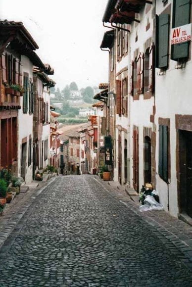
Again we rose late, and this time it was a cloudless day, with a deep blue sky and black shadows.
Before setting off we crossed the footbridge into town and got bread for the journey and some raisin pastries, which we consumed with coffee at a bar. Here we met the incredibly slow couple whom we had passed near Nogaro, rightly proud of their achievement and looking forward to going home.
We were not going home yet – in fact we were embarking on a new expedition, but the day off had revived our energy and spirits.
As we were packing up I realised that I had managed to lose my Goretex jacket in some cafe, so I made a few enquiries to no avail. I was not worried – it lightened my load and if it rained in the Pyrénnées, I could enshroud myself in the tent fly.
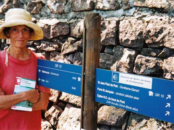
Setting off up the valley of the Nive, we were at Caro within an hour and lost shortly after that.
The red-and-white markers disappeared and we wallowed along a muddy rut until it petered out in a field of bracken.
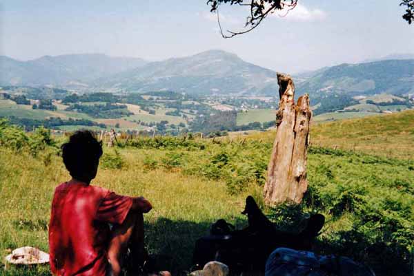
We knew we were not far from the track and so it proved, after we had struggled through a barbed-wire fence and a bog. It was good to see the bright painted marks of the GR again.
A little way further on, we sat under a tree and ate our simple lunch of bread and fish, within sight of Saint-Jean-Pied-de-Port far below. We were not far from the old pilgrim’s way coming up from Saint-Jean-le-Vieux.
Pressing on, we followed a wheel track skirting a hill, only to find that it too faded into bracken and began to dip towards a ravine. Once again we had missed something.
For lack of a better idea, we fought our way upward, through head-high bracken, knees hitting chests, and suddenly found the GR again.
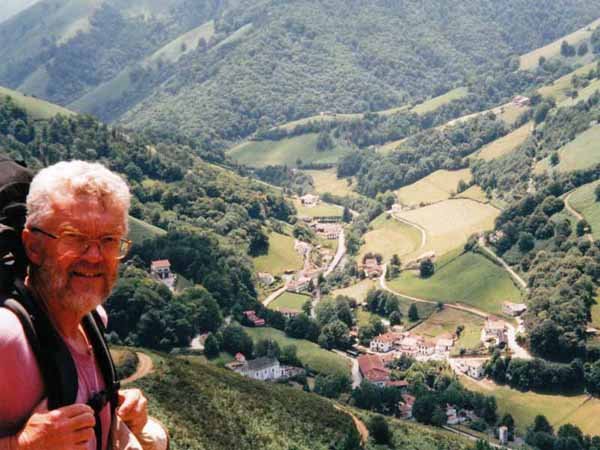
We managed to stay on it for the rest of the stage, probably because it soon joined a road. There were a couple of stiles to climb before that, which were not so easy with a large pack.
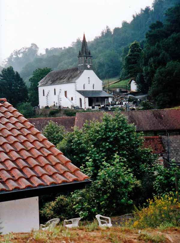
The gravel road zig-zagged its way down almost onto the rooves of Esterençuby. We were pleased to see that it did have rooves, as we feared it may have been only been a gîte. In fact it had two hotels, a church and some houses, pleasantly clustered along the river.
At the first hotel we stopped for beer and coffee next to a fronton, a large concrete wall against which the peculiarly Basque game of pelote is played.
The gîte was attached to the other hotel, so we crossed the sparkling river and asked whether we could pitch our tent in the gîte grounds.
This was absolutely and unconditionally forbidden, we were told. We were to get this reaction almost everywhere in the Pyrénnées, which made us wonder why we were lugging all our camping gear along.
The gîte was new, clean and spacious and we were the only occupants. Once we had done our ablutions and spread our wet washing everywhere, we strolled over to the hotel for a drink.
There was a lone Englishman there hunched over a beer, big-boned and hearty. He was doing the complete traverse of the Pyrénnées, having recently retired as a fireman. It was a luxury for us to have an English-speaker for company.
For dinner he went back to the other hotel (he was staying there), while we had the “walkers’ menu” where we were. The dining room had a fine view over the village and the church.
We started with an excellent garbure, the regional soup, then had a plate of crudités, some mysterious meat called Lomo, and finally a Gâteau Basque and an icecream. They have evidently worked out that walkers are eaters.
Before going back to the gîte we stepped over the river to have coffee with Richard and look at his guidebook, which was much more informative than our hopelessly out-of-date Topoguide.
The night was cool but we found sleeping indoors stuffy, having not slept in a bed since Lectoure.
Previous section: Navarrenx to St-Jean-Pied-de-Port