Friday, 11 June 2004
Distance 27 km
Duration 6 hours 0 minutes
Ascent 157 m, descent 194 m
Map 65 of the TOP100 blue series (now superseded)
We did not actually have the map, as we had been using the Topoguide until our great act of rebellion yesterday, and we could not find a map shop in Bédarieux. All we knew was that we had no wish to trudge for days on the GR7 through the high Languedoc from one closed gîte to the next, without food, coffee or human company.
On the back page of the Topoguide it was possible to make out a strip of low country starting at Bédarieux and cutting through the mountains from east to west, so we resolved to go that way, even if it meant walking on the side of the road.
Before setting off, however, we took the precaution of building up our caffeine and pastry reserves with a visit to the centre of town.
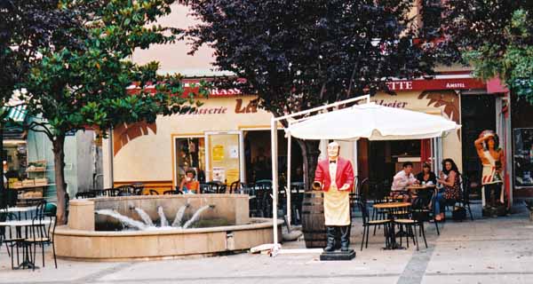
A small square with a fountain provided the necessary comforts and we then took the road to Hérépian.
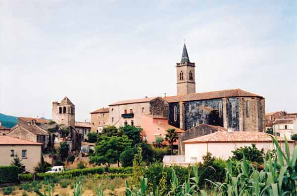
After about an hour we arrived, first at the church, which looked as if it had been badly scorched on one side (although it was probably just made of black slate), and then at the central roundabout.
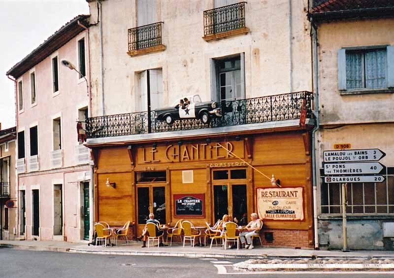
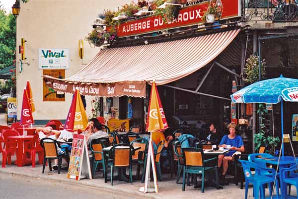
There was a bar on the corner and we squeezed in beside the kerb for a second round of coffee, pleasantly conscious that we would be doing no such thing on the GR. For reasons unknown, a Blues Brothers police car dangled from the balcony above us.
We managed a little short-cut off the highway from there to reconnect briefly with the GR7 at Lamalou-les-Bains. We should have realised from its name that it would be a spa town, and that the streets would be thronging with cripples of all kinds – on crutches, in wheelchairs, on walking sticks, with splints, slings, bandages and plaster casts.
We felt almost obscenely healthy. There were many plushy hotels and restaurants, a palatial casino and a park with a bandstand, where we ate our lunch.
It was at this point that we finally turned our back on the GR7, as it took off into the hills and we descended under the railway line to the main road along the valley of the Orb. For many kilometres we loped along.
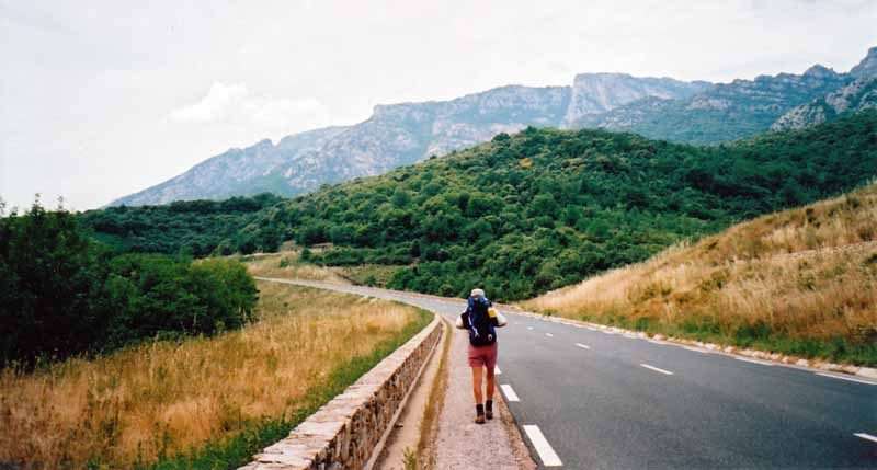
The road was flat and not busy, and for much of the time there was a sort of cycle path beside it. In any case, one look at the jagged skyline above us was enough to stifle all complaints.
As the afternoon wore on, we started to run out of water. We had lost it all in the form of sweat, trudging along in the pitiless sun.
Then we came to a place where some grand old cherry trees leaned over the verge, heavy with fruit. We stuffed our mouths full and let the sweet, tart juice run down our throats like a magic potion.
Not long after this we made our entry to la Trivalle. As we had no map, it was a surprise, and a pleasant one. It was off the highway, centred on the now vanished railway line, and there was a thriving bar.
The old station was now the Office of Tourism. There were various possibilities for accommodation, not including a camping ground, but they all turned out badly – either closed or absurdly expensive.
As we were investigating them, we went past a cluster of small tents beside a house, and went in to ask whether it was a camping ground. The man explained that it was his private garden, with a few friends from Paris staying the weekend. We all laughed and he said he had friends in Western Australia.
Back at the bar, we considered our options over coffee. We knew from the road signs that there was a place called Olargues five km down the road, so we decided to push on, although thick clouds were forming and we heard distant thunder, which increased as we hurried along.
Olargues was on a bluff above a bend in the river Jaur, a tributary of the Orb. We had to turn off the highway over a bridge and the first thing we came to was the camping ground, with a few foreign caravans under the spreading trees.
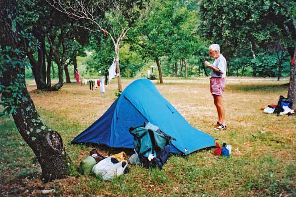
We pitched our tent, had a lukewarm shower, did our washing and strung it up between two branches, then we went to look at the village.
According to the sign, it was a Plus Beau Village, although there was no evidence of exceptional beauty in the main square.
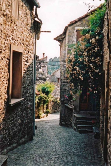
We had a glass of wine at the Hotel Laissac, sharing the terrace with some tourists and a group of lounging adolescents. Later we explored the steep, narrow alleys further up, and we could see the appeal of the place. The belfry on the crest of the ridge was the oldest of many old stones.
For dinner we returned to the hotel where we had drunk our apéritifs. The dining room, no doubt old, had been renovated in an objectionable fifties style, but there was a fine big photograph of the town with the famous Devil’s Bridge, a feature that we had not been able to find so far.
We were the only diners and the boy waiter was one of the local lads who had been hanging about outside. Our meal was delightful, even in the empty room. We had a platter of crudities and cold meats to begin with, then succulent pork chops, accompanied by a green salad instead of the usual chips. There was plenty of bread to soak up the juices. To finish Keith had a very good pear icecream and I ordered cheese, which I slipped into my bag for lunch tomorrow.
Back at the camping ground, we had no sooner started to take down our washing than it began to sprinkle with rain. In a few seconds it was pouring and we dived into the tent.
The illuminations were spectacular, even through the fabric of the tent, and the thunder bounced about amongst the hills, making an almost continuous roar. The rain sluiced down alarmingly, but our little tent proved its worth and we stayed dry. Half an hour later we could see the stars.
Previous day: Lodève to Bédarieux