Saturday, 12 June 2004
Distance 19 km
Duration 3 hours 50 minutes
Ascent 268 m, descent 126 m
Map 65 of the
Except for our clothes hanging sodden on the washing line, there was no sign of last night’s fury.
After our muesli we set off to find coffee in the village, but were waylaid by an aged British couple who emerged from their caravan to offer us some. They brought out folding chairs, and we drank Nescafé in flowery mugs as we chatted. They were from Cheshire and came to Olargues every year.
We looked at their map of the area, which, while only a road map, was a great deal better than what we had (nothing), and we discovered there was a town called Saint-Pons a suitable distance away, albeit along a busy road.
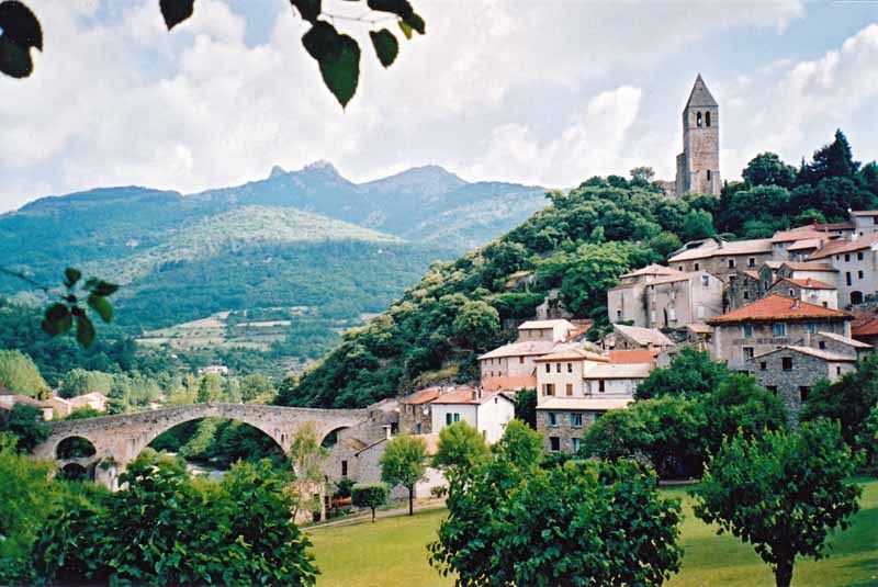
At 9:30 we were at the épicerie at the top of the village, buying cheese and bread for lunch, and soon afterwards, as we descended towards the highway, we found the legendary Devil’s Bridge at last. There was a delectable mulberry tree nearby also.
Only a short distance along the highway, a couple of kilometres, we noticed a lay-by with a large sign and a fenced path leading off down the embankment.
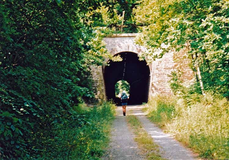
We almost walked past it, but just in time it dawned on us that it was worth paying attention. We realised that it was the abandoned railway line, now converted into a gravelled cycling and walking track, la “Piste Verte”.
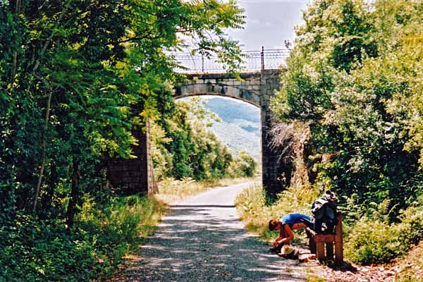
It was a great improvement on our previous situation on the side of the highway. For one thing it was dead flat, apart from one section where we had to climb around an old railway bridge that could no longer be trusted to hold our weight.
There were seats at intervals, shady banks and even stations along the way. Several cherry trees, presumably planted unwittingly by passengers long ago, held out their fruit to be picked. A couple of times we passed through tunnnels lit by motion-sensitive lights.
Coming to a station indicated that a village was not far away, and at Premian we took a steep street down in search of second breakfast. The bar was in a little triangular space shaded by two spreading trees, at the end of the stone canyon of the highway.
While we demolished our coffee and pastries, we spoke with a red-headed lad trying to hitch a lift from the uncaring drivers streaming past. He said he had only been there 15 minutes and was not in a hurry. Then a car pulled up and he sailed away, making us almost as pleased as if we had had been picked up ourselves.
Past the station of Riols, we stopped for lunch on a seat near an overbridge. A few weekend cyclists glided past with the obligatory “bon appétit!”.
Soon after, at the station of Saint-Pons-de-Thomières, we left the Piste Verte and took the road to town.
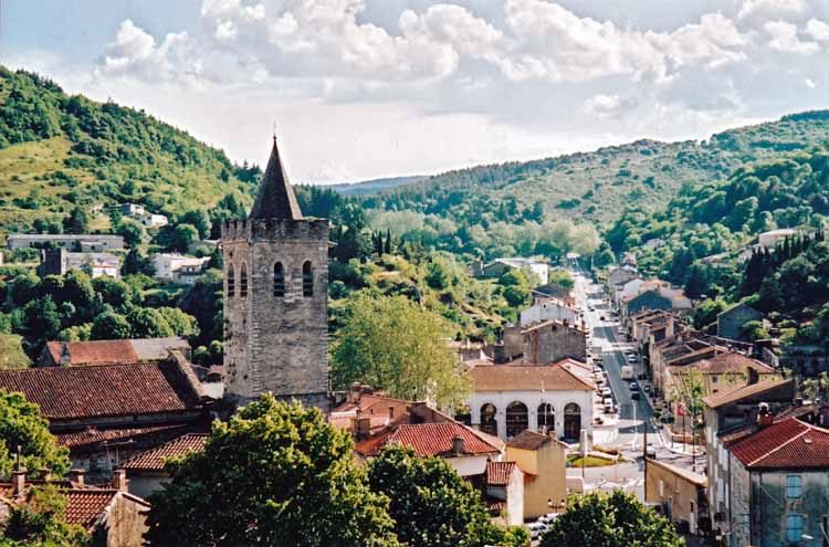
It was a longer road than we expected through the dreary outskirts, but at least it was downhill and eventually we swung into a large church square shaded by plane trees and full of outdoor cafés.
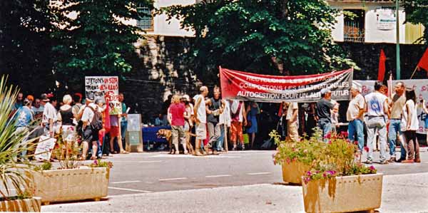
People were milling about with placards, protesting about SITA’s plan to put a waste dump in the nearby national park.
A band was thumping out “Bandiera Rossa” and other stirring tunes, and the shops and bars closed for an hour (fortunately after we had finished our coffee) in solidarity. “Better to close for an hour now than close for ever later” was the call.
There was no camping at Saint-Pons, but our waiter told us there was a hotel just around the corner, the Somail, which proved to be comfortable and cheap. The shower was down the corridor but was absolutely delicious.
We slept the afternoon away, emerging at
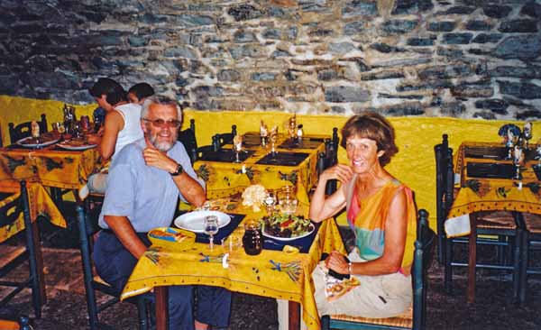
Despite the festive atmosphere in the square, a combination of normal Saturday night socialising and the excitement of the protest, it was hard to find anywhere to eat a meal. We ended up at an Italian restaurant, the la Dolce Vita, built into the thickness of the rampart, a wonderfully atmospheric place.
We shared a large salad, then had pasta carbonara, prepared in the French manner with a half-eggshell containing a raw egg yolk poised on top. We only had a short walk back to our excellent hotel.
Previous day: Bédarieux to Olargues
