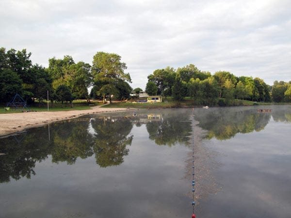
Monday, 6 July 2009
Distance 26 km
Duration 4 hours 55 minutes
Ascent 441 m, descent 330 m
Map 48 of the TOP100 blue series (now superseded)
By 7 o’clock we were tip-toeing past the slumbering vans, across the beach and along a dewy lane, on our previously explored short cut to the D142.
Not far along, we came to a side road and asked a bent old man working in his garden, whether it was the one on the map that we wanted to take. Having hobbled inside to get his spectacles, he confirmed that it was, so we took it.
It was a hilly little road from nowhere to nowhere, so small that at one point we followed a driveway into a farm, mistaking it for the public road.
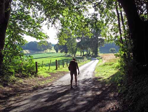
As we climbed we had increasing views over the rich, placid countryside and the villages along the main road. We passed under a hissing high-tension power line, turned right and ascended to the village of Madranges, which was written in such big letters on the map that we were sure we would find a bar there. We were wrong.
There was nothing except a cluster of houses. A woman driving past stopped to say that the nearest bar was down on the highway at le Lonzac, information for which we were not very grateful.
We sat on a wall for a disconsolate swig from the water bottle. Our plan was to cut across on a road to the trusty GR46, and get to Treignac that way, but then we noticed what looked like a shorter way, a track going to the highway and then to the GR.
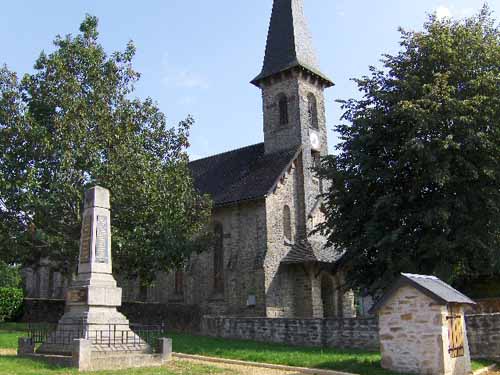
This was a big mistake, as we did not pay attention to the contour lines on the map.
TOP100 maps only have contours every 50 metres, so there can be a big loss or gain of altitude within a few contour lines, and in this case we were horrified to find the track plummeting down, through pines, to the highway.
Even so, we would have then taken the second track all the way back up to the GR if we could have found it, but we couldn’t. The only thing to do was to trudge the remaining nine kilometres on the side of the highway, cursing ourselves for our stupidity.
As with all things, it passed eventually, but there was not much enjoyment in it. Also, we were sorry to miss what looked like an interesting section of the GR46, along a knife-edged spur.
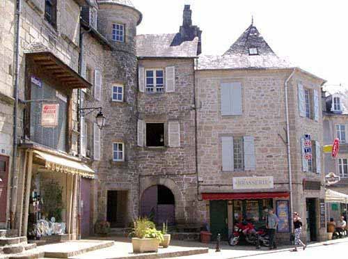
We got into Treignac about 11:30 and sank into chairs at the first bar we saw, a wide corner terrace. Our joy and relief were commensurate with the pain that had gone before, and our pastries and coffee slipped down beautifully.
At the Office of Tourism we found out that the camping ground, nominally at Treignac, was actually four kilometres away at the Lac des Bariousses, but the GR46 would get us there, and there was a hotel-restaurant nearby which served evening meals.
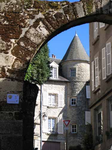
After buying some lunch food we set off for the lake, but our follies were not over for the day. Because the map at Treignac was covered with symbols of points of interest, we could not see which road the GR left from, and consequently took the wrong road. We should have checked at the Office of Tourism. By the time it dawned on us that we were not going to find the GR, we had gone too far to turn back.
At the bridge over the Vézère, there was a large creeper-covered hotel serving lunches to a party of elderly cyclists in Lycra, and as a consolation, we stopped for another coffee.
It was quite a step from there to the lake but we were not bothered by it, and soon came to the barrage holding back the waters of the river. We passed the hotel-restaurant, which looked promising, and got to the camping ground just as it started to rain. As usual, we had avoided actually walking in the rain.
The office was closed, but there was a rickety canvas shelter outside, with a table and chairs, that served admirably for our lunch.
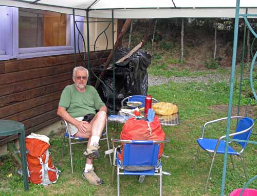
When the doors opened and we were welcomed in by a middle-aged man and his daughter, apologetic about the weather and keen to practice their English (but I stuck to French). During a break in the rain we set up our little refuge in a dripping alcove of greenery close to the shower block.
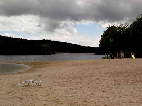
Across the road from the camping ground was a beach, with a snack bar, a board of instructions, a swimmers’ flag, a lifesaver’s chair, children’s play equipment, deckchairs – everything, in fact, except people. Low, dark clouds scurried overhead and the forest beyond the lake was as black as night. It was no way for tourist operators such as our hosts to make a living.
At 7 o’clock there was a little gathering beside the office, the Pot d’Acceuil (drink of welcome), which happened every Monday and to which all campers were invited.
Coloured lights twinkled on the awnings and a table of drinks and snacks had been set up. There was a speech from our beaming host, then glasses of kir were distributed and we began to fraternise.
Keith took photographs while I did my best in French. Everybody talked about where they were from and where they were going, so it was easy to have a conversation.
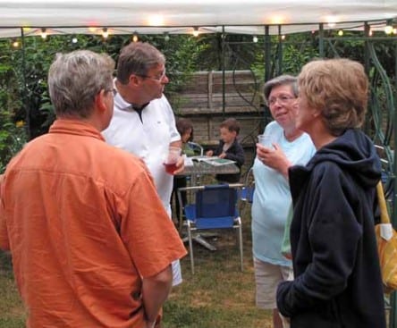
Among the people I chatted with were a couple from Rouen (we talked about our respective children and grandchildren), and a Belgian woman who lived in Spain but spoke no Spanish, as she had just moved there.
When this happy event was over, Keith and I walked the short distance to the hotel for dinner. The dining room looked straight out onto the lake and the barrage, with the pine forest on the other side coming right down to the water’s edge.
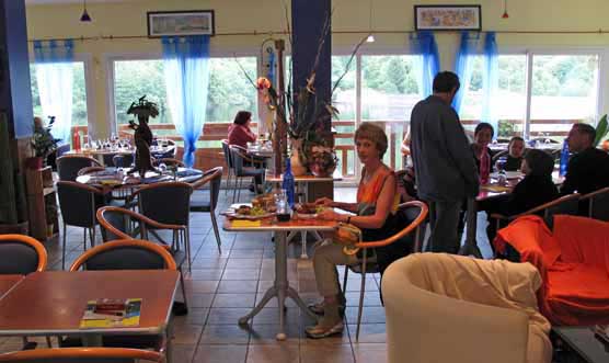
As we had eaten a fair bit at the camping ground, we confined ourselves to a single plate each (€16), simple fare of meat and potatoes, but hot and delicious, with a carafe of red to chase down the two glasses of kir we had already imbibed.
Although it had been a day of mistakes and unseasonal weather, there had been many good moments and it had certainly ended well.