Tuesday, 21 June 2011
Distance 31 km
Duration 7 hours 15 minutes
Ascent 719 m, descent 573 m
Map 142 of the TOP100 lime-green series
Topoguide (ref. P691) Les Monts du Beaujolais et du Lyonnais… à pied
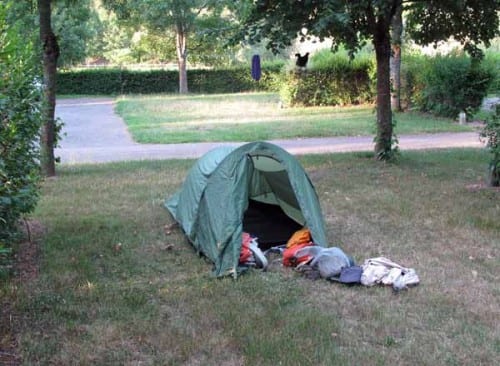
We had slept better than the previous night, and rose at 6:30 ready to face our first day in the mountains of the Beaujolais. The sky was clear and promised a warm day.
The only other campers who were awake at that hour were our fanatically clean Dutch neighbours, busy packing up their caravan. We presented them with the two cans of beer that we had been given last night, which they accepted with a puzzled air until we explained that they were too heavy for us, as we were on foot.
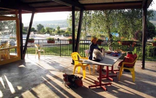
For breakfast we pretended that we were eating out by occupying the terrace of the closed snack bar, from whose height we could survey the town swimming pool and the countryside around.
After this civilised moment, we had all the optimism of early morning as we set off to join the GR7.
In the Topoguide there was a suggested route joining Matour and the GR, but it was long and tortuous.
Luckily, we had noticed an information board near the camping ground yesterday, with a map of local short walking circuits, one of which went to la Grande Roche on the GR7, a much more direct route.
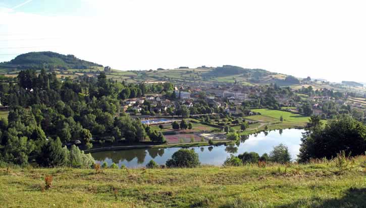
This walk, for reasons unknown, was labelled MA2, so we followed the signs and found ourselves on a small road which crossed the stream and switched back, rising steeply above the town and its artificial lake.
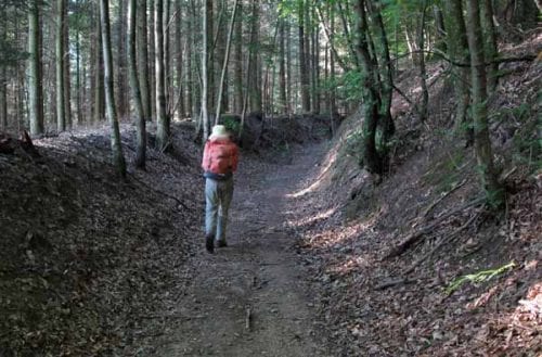
We passed a cluster of houses at la Garenne and continued to climb until the MA2 marks ceased at a bend in the road. We knew that there should have been a track from there to la Grande Roche and, hunting about, we found a likely-looking candidate marked with yellow PR signs.
This turned out to be a sudden ascent of two hundred metres in a sort of chute through the pines, and it had the predictable effect of reducing me to a wreck, whereas normally I could have plodded up without much trouble. It was depressing to be so easily beaten.
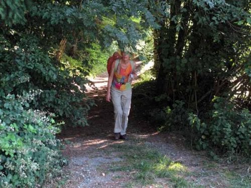
There was nothing at la Grande Roche except a large rock and the GR track, which was following the ridgeline and therefore was not steep.
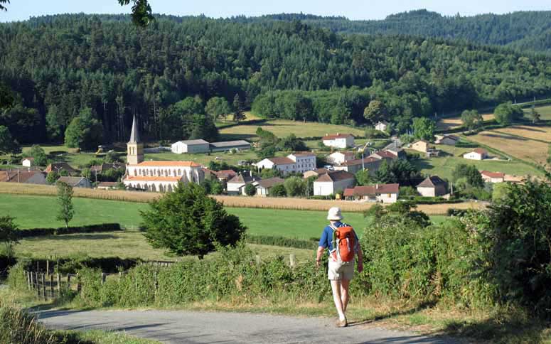
After a while it became a road, and a couple of kilometres later the forest opened out above an emerald-green valley. Immediately below us was a sweet little village with a massive church, Saint-Bonnet-des-Bruyères.
The houses and the church were all blonde. The Topoguide stated that there was a shop and a bar in this village, but we had learned to be suspicious of such claims, and descended the main street with some trepidation, but in this case they were right.
The narrow footpath opposite the church was adorned with tables, chairs and umbrellas, and the shop was part of the same establishment.
Before sinking into chairs, we bought some bread at the shop. There were no croissants, unfortunately, as the delivery from the valley had not arrived yet, but a length of fresh baguette served very well with our coffee (I had decided to risk drinking coffee again).
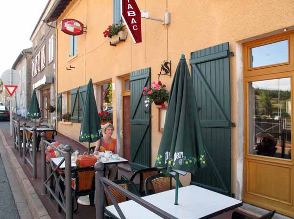
As we like hot milk in our coffee, I felt the jug, which was stone cold, and asked madame if she would mind heating it up. She looked surprised, but took it, saying “Heat up the cream?” It was not milk at all, but pure cream. We found out later that this is the custom in these parts, rich dairy country that it is.
This luxurious interlude had restored my strength by the time we left, but I knew that I had no staying power, so instead of taking the hilly GR, we kept on the road out of the village (the D5), a slightly longer but more gradual route along the ridge.
When we got to the meeting with the GR at les Hayes, we were tempted afresh by a road, this one promising to cut off a good deal of height and distance from our passage to our destination, the village of Propières.

The GR7 was approaching the highest point of the Beaujolais (Mont Saint-Rigaud) and did not look the sort of track for feeble walkers like me. We decided to forgo the benefits of the miraculous fountain there, as we were not troubled by either of its specialities, infertility or rheumatism.
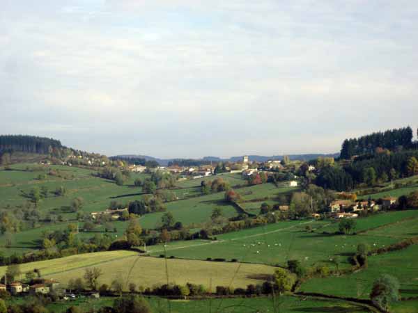
We probably should have looked harder at the contours on the map, as our road plunged off the ridge into a valley and then had to climb again to reach Propières. However the scenery was more cheerful and varied, through fields and hamlets instead of wholly in the dense, dark forest, and the road was very quiet.
The village was strung out along a high shoulder of land and we quickly found our way to the centre, where the hotel was serving lunch to a roomful of labourers.
On the terrace outside, we pulled a table under the shade of a wisteria vine and sat down gratefully to wait for coffee. It took a long time but we were in no hurry and had the happy feeling that we had finished our day’s walk.
When the coffee finally came (with cream again), we found out from the waitress that the hotel did not serve evening meals, but that the camping ground was open. We felt sure that there were other places where we could eat, so it was pretty good news.
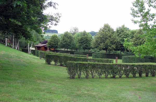
The signpost to the camping ground took us along a slip of a road which suddenly dived off the ridge and kept diving alarmingly until, after a kilometre or so, we reached the valley floor. We found the camping ground there and it was beautiful – immaculate lawns stretching down to a lake, trees, hedges, flowering shrubs, everything except people.
The only occupant was one caravan that looked as though it had been there for months. The ablutions block was open, the water was hot, but no amount of knocking and calling at the office could raise a human.
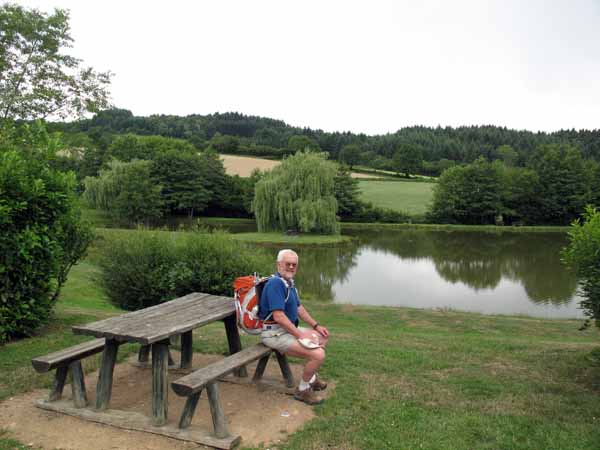
Having just come down such a long descent, we were not keen to climb all the way back just to have dinner, and we had no food about us except for a few lunch scraps, which we proceeded to eat while we thought what to do next.
There is something about backtracking that disagrees with our nature, so in the end we decided to push on to the Col des Écharmeaux on the next ridge, where there was a hotel.
A night of civilised comfort seemed just the thing in our slightly decrepit state, and we hurried off along the road, leaving the camping ground to its mysterious sleep.
We had to regain all the height we had lost, but at least we felt that we were advancing.
The road that we were on petered out, but we cut across on a farm track to join the main road going up to the col, and in due course we emerged at the crossroads, out of breath but pleased to have arrived.
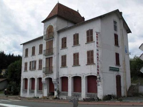
The hotel stood in pride of place overlooking the valley beyond, and one glance told us that it had been dead for years. The paint was peeling, the shutters broken and the grounds a weedy mess. The Topoguide that had informed us about it had been revised only a year ago, and we were to find out the hard way that this was not its only error.
For the second time that day, we were faced with the problem of what to do next. Luckily there was a café across the highway and we took refuge there, not that we needed a hot drink, but just to collect our thoughts. The magnificent view over the valley was lost on us as we agonised about our next move.
The best of a bad set of choices seemed to be to follow the D385 going down towards Lyon and hope that we could pick up the spur of the GR7 which led to the village of Poule-lès-Écharmeaux. It was about three kilometres out of our way, but according to the Topoguide, it had a hotel, a camping ground, shops, bars and restaurants – well worth the deviation.
A couple of kilometres down the highway we came to the track we were looking for. It was marked with charming yellow daisy signs and led us through a pine wood, then on a steep, stony descent behind houses, and finally to an artificial lake, beyond which we could see the village, with its square steeple and impressively large graveyard.
Just past the lake we came to the entrance of the camping ground and once again it was like the Marie Celeste – everything was in order but there were neither staff nor campers to be found. On the other hand, the village was close by and we set off to investigate the possibilities for an evening meal.
In the main street were several bars and other shops clustered around the church, one of them bearing the inscription “pizza à emporter” (takeaway pizza). That would be a last resort, but it was good to know it existed.
When we asked one of the bar-keepers about restaurants, she replied that there were none in this village. What about the hotel, I asked, at which she stared at me blankly and said there was no hotel and as far as she knew, there never had been. Another customer chimed in with the suggestion that there might have been one decades ago, down near the station.
This was all rather dispiriting, but they recommended the chambres d’hôte further down the road, which we duly visited, but even there, the only meal on offer was a cold buffet. We made up our mind to get a pizza after all, and take it back to the deserted camping ground – not the sort of evening entertainment that we aim for.
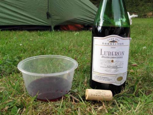
At the pizza shop, there was another unpleasant surprise – pizzas were only available at the weekend! Thoroughly disgusted, we were reduced to buying a tin of sausages and lentils at the little Casino supermarket (which fortunately was still open), plus bread, cheese and a bottle of wine.
When we got back to the camping ground, two other parties had arrived, both in huge camper-vans, so we felt that we were amongst humankind at least.
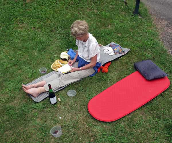
The showers were distinctly tepid, but refreshing, and we settled down to our picnic, which was surprisingly enjoyable, even when it began to rain and we had to retreat to the tent.
We drank the wine from plastic supermarket containers and ate the lentils with a spoon.
Later a woman came around with her young daughter to collect the camping fee (€10) and to tell us that the forecast was for rain again tomorrow.