Friday, 28 June 2013
Distance 32 km
Duration 6 hours 35 minutes
Ascent 207 m, descent 498 m
Map 163 of the TOP100 lime-green series
Topoguide (Ref 7000) Le chemin de Régordane
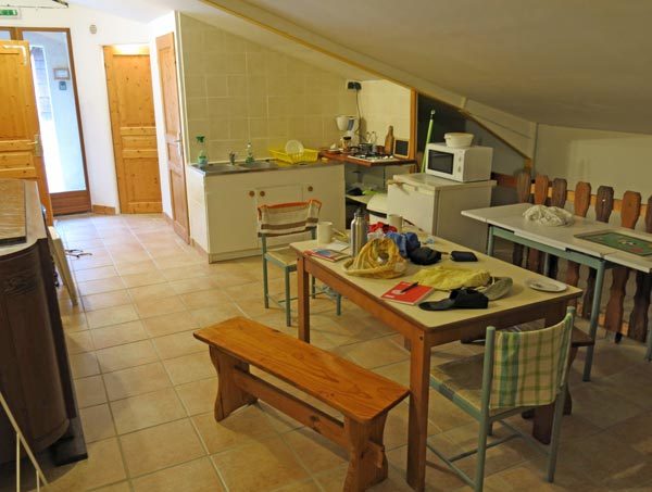
When we woke, we were still thanking our lucky stars that we had not spent the night outside, unwashed and unfed.
We had muesli for breakfast, with two rounds of milky tea, cleaned up the place to the spotless condition that we had found it in, and left €21 with a grateful note for the owner (we had found an information sheet stating that the price was €12 per person, but we had no more cash).
There was a slight hitch as we were leaving – we could not get the door to lock. Eventually, after almost destroying the key in an effort to get it to turn, Keith remembered another time when we had had the same problem.
That time, a passer-by had kindly shown us the trick with French locks – you raise the door handle while turning the key.
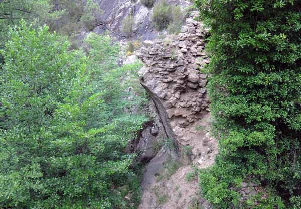
We descended the dirt road feeling much more cheerful than we had on the way up the evening before, and when we came to the river crossing beside the ruined bridge, we reconnected with the GR. This took us along below the village, past the wrecked remains of iron smelters.
There was a bar in the village but we decided to keep going to le Pradel, and avoid the steep pull up to the road.
Having gone under the highway, and made our way through throngs of children being delivered to school, we took a rising path across the dry hillside.
The track was lined with the ruins of stone cottages, once occupied by workers at the open-cut mine, and now softened by overgrowing vegetation.
An easy stroll over the rise brought us back to the D906 and we walked beside it amongst the pines until we reached the main street of le Pradel.
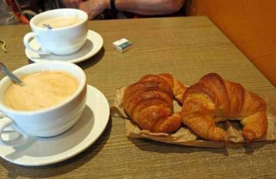
Not only did it have a bar, but also a boulangerie/épicerie, so we got a baguette, two croissants and a tomato (there was no cheese or sausage to be had) before settling down for our second breakfast at the bar.
We sat inside as usual and there was a lot of kissing as people came and went. We found that we were still in one-kiss country, as we had been higher up in the mountains.
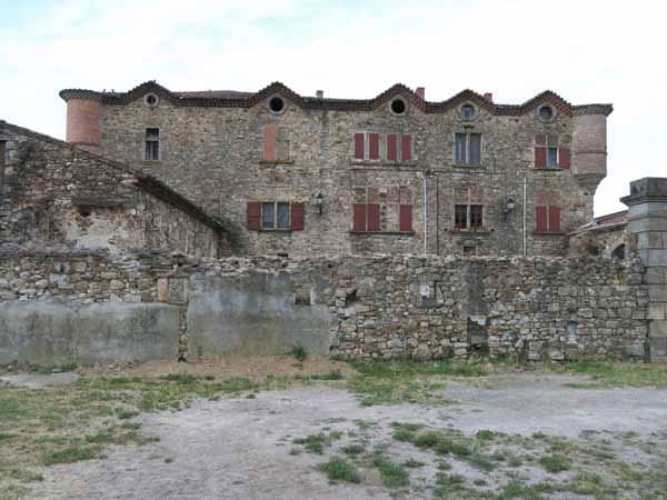
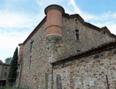
Leaving the highway in the direction of the church, we found ourselves at the foot of the “château”, which was actually an original staging post on the Régordane, known since the twelfth century, but greatly patched up since.
We crossed the road and kept going parallel to it through grassland. Someone had adorned the field with a mock coal train disappearing into a mock mine, and added a row of World War II trucks and jeeps. The finishing touch was a fake dolmen.
Then we curved up away from the D906, past some houses where a man was tending a beautiful vegetable garden. I had to stop and compliment him as a fellow gardener, and he was pleased, but he looked as though he doubted that people in Australia could possibly have vegetable gardens.
The bitumen gave way to dirt and the road narrowed as it rose, until we were high above the three lakes of Mercoirol. These were former open-cut mines which had been reborn, with the addition of a few barrages, as tourist attractions.
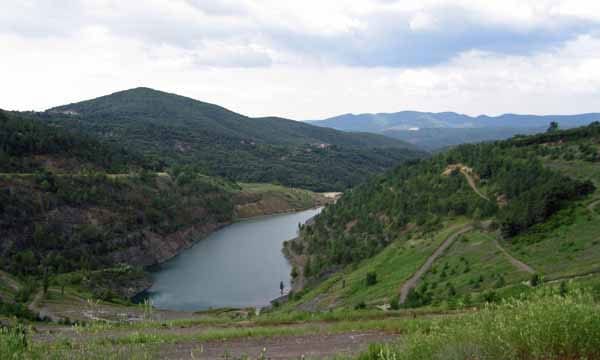
Below us were a couple of smaller lakes, with their sides still carrying the concentric scars of the mining. There was an unstable stony track dropping towards one of these lakes, but we decided to take the long way round, on a wide, zig-zagging road.
At the bottom we entered a strange expanse of bare, damaged land, littered with abandoned machinery, and devoid of tracks except for the GR signs. Having negotiated this wasteland, we came to the stump of the old bitumen road, where the last of the excavations had undermined it and left it dangling over a drop.
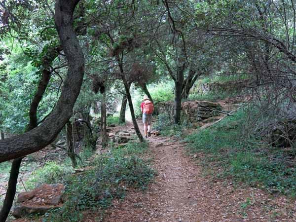
A short way along this, we turned off onto a track which contoured along the slope in a lovely deciduous forest. To our surprise, there were people here – a group of young volunteers busily clearing the undergrowth from the edges. We thanked them as we went past.
When we emerged from the forest we were at a crossroads, and took the way to the village of Mas-Dieu. Despite assurances of refreshment in the Topoguide, there was no bar, nor any shop at all, here.
We found out later that it had housed many of the workers at the mines (the ones that we had just walked through), but with the closure of the mines at the turn of the 21st century, all the shops had perished, as had the school.
The narrow main street was the Rue de la Régordane, doubtless the original route. Beyond it we turned off uphill at the Fountain of the Mothers.
As we started to climb, an old man leaning on a stick shouted at us from the road, warning us not to drink the water from the fountain. This was odd, as it had been donated to the village by a grateful emigré, specifically to supply it with fresh water. Anyway, we still had water in our bottles.
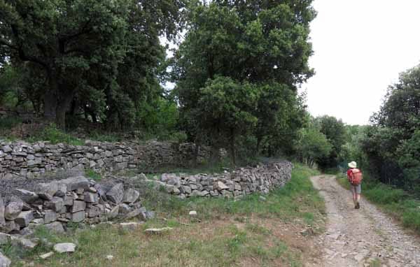
The path continued to rise after the fountain, around a hillside of stunted oaks, with stone retaining walls on the steepest parts.
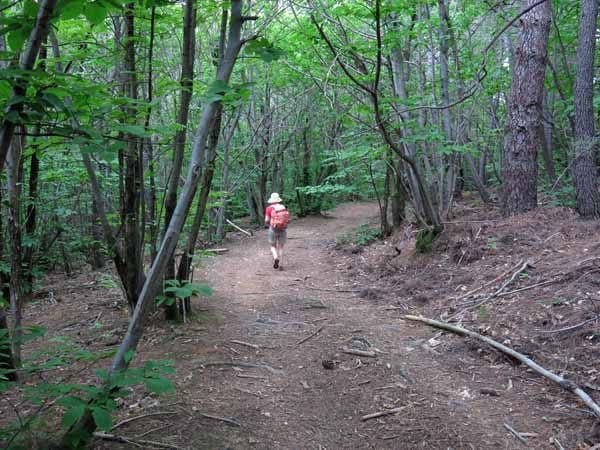
At the top it flattened out and we threaded our way through a maze of dusty tracks, fortunately well signposted. We started to descend and the stone walls multiplied until the whole hillside was a series of walls.
There was nothing growing in these terraces except oaks and rank grass, but presumably there had been cultivated crops here once.
The vegetation changed as we came out of the mountains. Once again we were in a spacious chestnut forest, snaking our way down, with the old paving of the Régordane well-preserved in places.
Finally we came to some houses and arrived at the bitumen road of Drulhes.
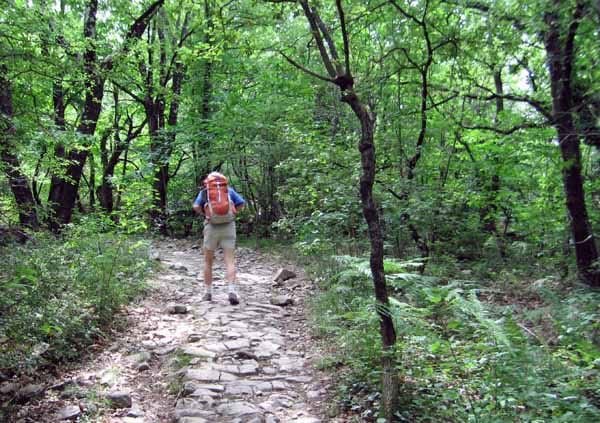
At this point we had decided to veer off the Régordane in order to stay at the camping ground at Cendras, about five kilometres upstream from Alès. There was no camping at Alès itself and it seemed a good idea. Also, we liked the thought of having second breakfast in Alès the next morning.
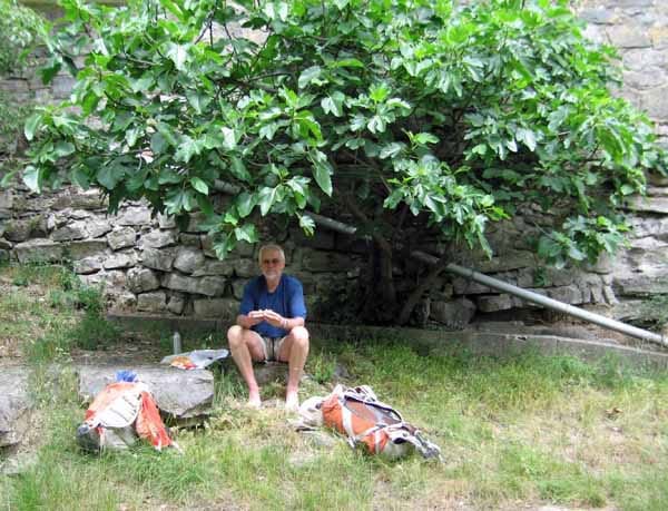
A convenient small road led off the ridge in the direction of the river valley and we had only gone a short way along it when we saw a grassy patch beside the road, where a fig tree grew against a drystone wall. It was just the place for lunch and for once it was sunny and warm.
All we had to eat was bread and a tomato, but it was delightful. Then it was downhill all the way to the river.
As walkers we were able to cut off a big loop of descending road, before going under the railway line. Not long after that we came to an abandoned bridge, with bollards preventing cars from using it, but we skipped across with no trouble.
Between the main road and the river there was a dirt track under the trees, much worn by trail bikes and cars. This took us deep into the forest where there was a smashed-up paint-ball place that looked as if it had been attacked by vandals.
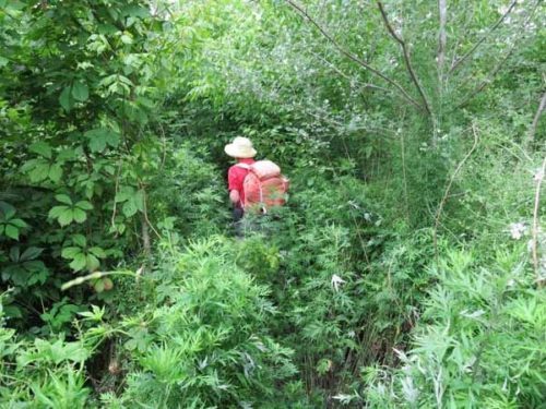
After that the track got narrower and weedier. We battled on until the nettles were almost as high as we were, then in desperation forced a passage away from the river, up an embankment and were amazed to find ourselves suddenly on a flat, open wheel track, a real pleasure to walk on.
This comfortable path joined the highway at Cendras and we saw a sign for the Camping de l’Abbaye, our destination for the day, with its adjoining restaurant. It was all highly satisfactory.
A tractor was coming out of the camping ground gate as we approached, and the driver stopped to inform us that the place was not open until the following Monday, which was the first of July. Seeing our incredulous, horrified faces, he offered to drive us to another camping ground, far away up the side valley, but we declined.
We retired to a nearby bar to consider what to do over coffee. There was really only one choice – to walk into Alès along the highway and stay in a hotel.

It was further than it looked until we got to the footbridge over the Gardon (where the GR came in), and further again beside the river, in an urban wasteland, until we could cross into the main town.
Even then we walked and walked, going past a line of mature trees recently cut off at ground level. By now it was unpleasantly hot, for the first time on this trip. We were trying to head away from the river, towards the railway station, but after passing a series of desolate housing blocks, we realised that we were still close to the river.
There was a large road bridge (le Pont de Resca) with a roundabout, and a sign for the Office of Tourism, pointing ambiguously between the riverbank road and the impressive bulk of the Fort of Vauban.
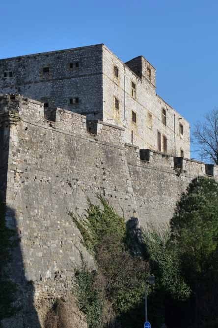
We chose the riverbank, and ended up in a dreary, run-down part of town, with no sign of the Office, so after a while we asked a passing pair of women, the younger supporting the elder, to direct us. They were both aghast at how far away we were (over a kilometre, they said), and walked us back to a laneway with elaborate instructions for how to continue.
It did not take as long as we feared, and we soon arrived at a central square, just behind the Fort. It was full of cafés and our spirits rose immediately. The Office of Tourism provided a list of hotels and a map of the town, so at last we knew where we were.
We got a room at the Hotel Durand, near the station. For €45 we had the pleasure of a room looking onto a small interior courtyard with a swimming pool. There was no more than a handspan between the bed and the wall on either side, but to us it was luxurious.
Because of the fact that there were no camping grounds between here and Nîmes, and given our recent difficulties with gîtes, we tried to telephone ahead to book in, using our France Telecom card (there were phones at the station).
To our consternation, the gîtes at Russan, Ners and la Calmette all said they were booked out, which was astonishing, as we had not seen a single other walker for two days. We concluded that they were not really for walkers so much as for holiday-makers arriving by car.
Putting these worries aside for the evening, we wandered back to the lively part of town that we had seen earlier. The Place des Barbusses was lined with eateries and at this hour it was packed with people drinking, eating and promenading.
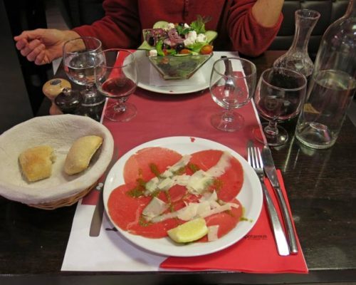
We sat down at an outdoor bar for an apéritif, but as Keith had lost his warm top, it was rather too cool. For dinner we took shelter indoors at the nearby Hippo, a bustling, cheerful place with wooden floors, black lacquered tables and all the usual French refinements such as a basket of fresh bread, a bottle of water and two glasses each (the other one for wine).
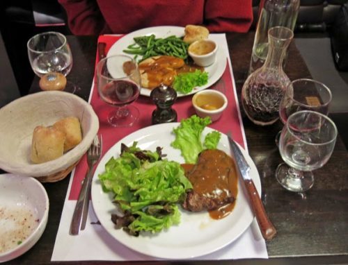
The €14.90 menu began with a salade crétoise and a dish of carpaccio.
The main course was steak for Keith and a double breast of chicken for me, both with our favourite green peppercorn sauce.
As we tucked into this and sipped our wine, we were conscious of the difference between this meal and last night’s at the empty gîte. We had enjoyed both of them in different ways.
Previous day: Villefort to L’Affenadou