Wednesday, 10 June 2015
Distance 28 km
Duration 6 hours 50 minutes
Ascent 375 m, descent 275 m
Map 174 of the TOP100 lime-green series
After the starvations of last year’s walk, I had developed a phobia about walking without a proper breakfast. A spoonful of muesli with powdered milk did not seem to do the trick for a long morning on the hoof.
Consequently we had asked the barman last night what time the bar opened, and were very happy when he said 6:30 am.
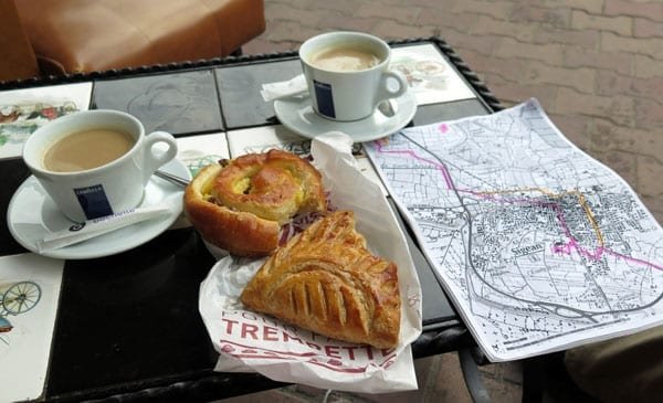
We arrived at about 7, with a pain aux raisins and an apple chausson that we had bought on the way up from the camping ground. They were rather doughy but good with coffee and definitely filling.
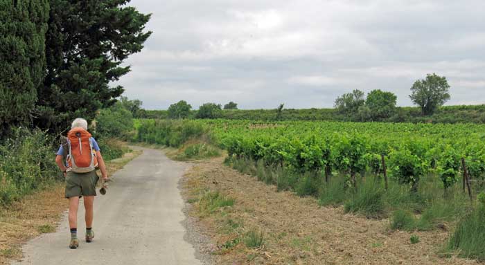
Thus fortified, we set off along the road, following the pink line on our map. We soon left the houses behind and joined the GRP on a patched little lane flanked by vineyards.
There was another walker ahead of us, a vigorous old man with a stick, going even faster than us, to our surprise and chagrin, as we think of ourselves as speedy walkers.
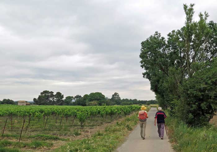
When we crossed under the D6009 we caught up to him, standing in the road talking to the vigneron, and passed by, but he quickly overtook us again and we walked along together for a while.
His family owned most of the land around here, and he was on his way to put in an embankment to prevent the sort of flooding that had devastated the area last November. He said that ten people had drowned here in the great inundation of 1999.
When we came to a crossroads, we parted company with warm handshakes. He was worried that we would get lost, but we showed him our maps and he was reassured.
After a while we went under the D6009 again and found ourselves in a sort of artists’ colony called the Hameau du Lac, with a monastery, workshops and a few old houses – a lovely place to live, by the look of it.
Past that (and through an electric fence that gave us an unexpected thrill), we crossed a stream and took a dead straight, bare little road that looked as if it would flood at the first sprinkle of rain. The flat fields on either side were planted with vines. Then the road entered a formal avenue of plane trees, presumably planted when this was a main thoroughfare. There were no cars on it today.
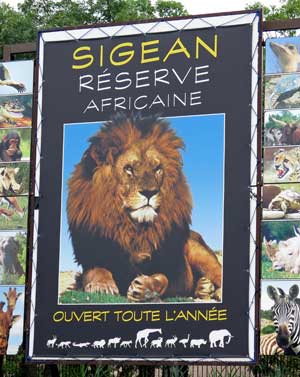
At that point high fences appeared on our right, and we heard muffled roars, howls and screams. It was the African Reserve of Sigean, an enormous zoo with lakes, trees, rocks and sandy hills amongst the enclosures. Unfortunately the animals were too far away to see properly.
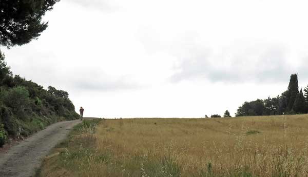
We joined the D6009 at a roundabout and walked half a kilometre in the bike lane beside rushing trucks and cars, before turning off at the top of the rise.
The rest of the way to Peyriac-de-Mer was on a lane through dry, grassy fields, over a sharp ridge and then descending past vineyards to the bald new houses on the outskirts.
Past these, the village became a tangle of walled streets, their pale stone softened by trees, which opened out eventually onto the church square.
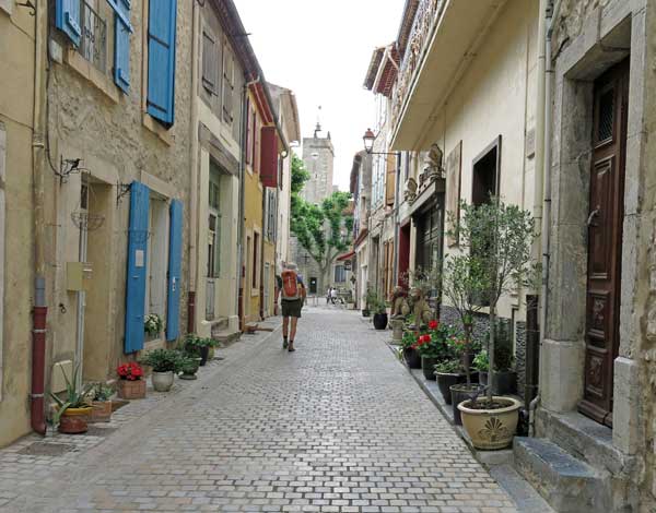
Here were all the shops – a boulangerie, a boucherie, a coiffeur, a presse, a supermarket, a pizzeria and best of all a bar, with its tables and chairs set out on the cobbles around a fountain, under the shade of large plane trees.
It was 9:15 am, only a couple of hours since our breakfast in Sigean, but we were delighted to have a second one.
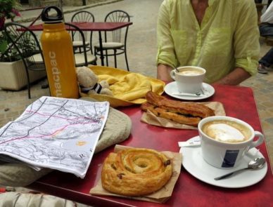
At the boulangerie there were no croissants left, so we got a pain aux raisins and a Suisse, which turned out to be flaky pastry folded around chunks of dark chocolate. I gave the chocolate to Keith and the pastry was delicious.
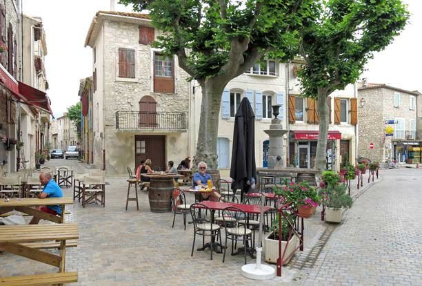
We even had a second round of coffee, as we knew there would be no more villages on this day’s route.
Leaving this little paradise was a wrench, and it was after 10 before we managed it.
We took the D105, then the Rue St-Roche up through the houses until we came to a tarred track that led us directly across grassy fields to the highway.
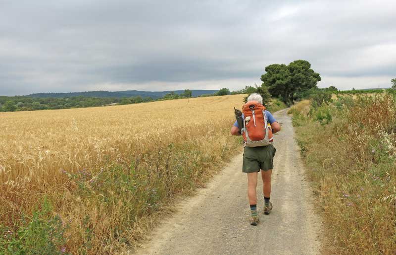
On the other side the tiny road continued and we were once more surrounded by an expanse of vines.
We went under the A9 and before long we saw a dark range of hills ahead – the Massif de Fontfroide, an offshoot of the Corbières.
The last winery on the road was Ste Eugenie, a former Benedictine abbey tucked into the forested folds of the hills.
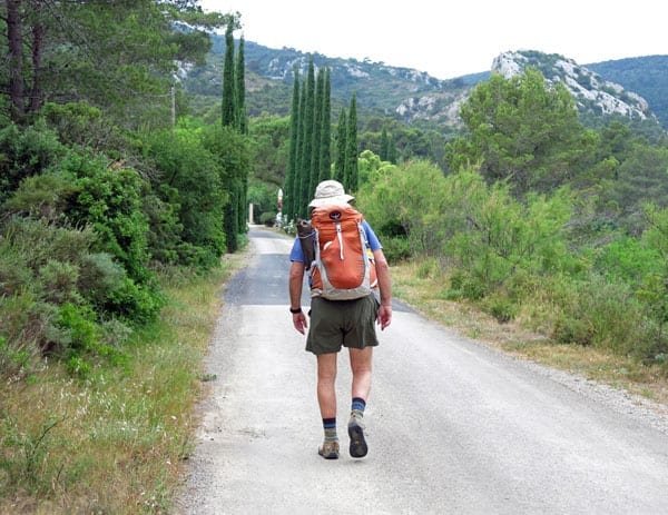
A formal avenue of pencil pines greeted us as we approached, but the place was deserted, and beyond the buildings the road was blocked by a boom gate, which we easily circumvented.
That was the end of the bitumen, even the patched, potholed remnant that we had been walking on.
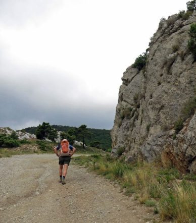
From there we started climbing in earnest and the wheel track twisted and turned through oaks and crooked pines.
There were frequent forks in the road, labelled with signposts saying mysterious things like “FO4”, which did not help. Without our wonderfully detailed maps we would have been lost.
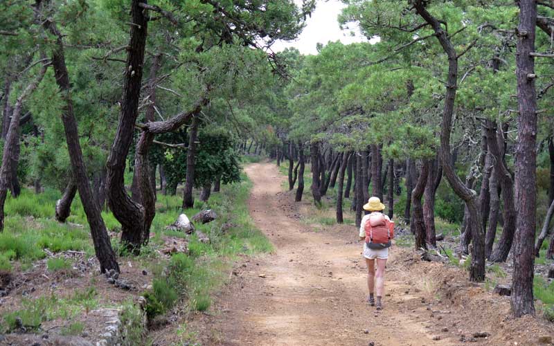
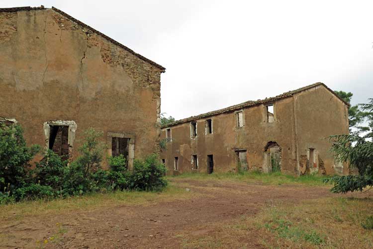
A couple of kilometres through this maze brought us to a pair of long, roofless ruined houses, probably an abandoned farm.
They had been painstakingly built, with walls plastered and door lintels held up by keystones.
It gave us a pang to see them in such a sad state and we wondered what had happened to the family.
Further along, still in the depths of the forest, we found ourselves trying to follow a track that did not exist, having probably been swallowed by the vegetation since the map was made.
But with the help of the compass and some luck, we found our way down and emerged suddenly into flat fields planted with vines, which was a great relief.
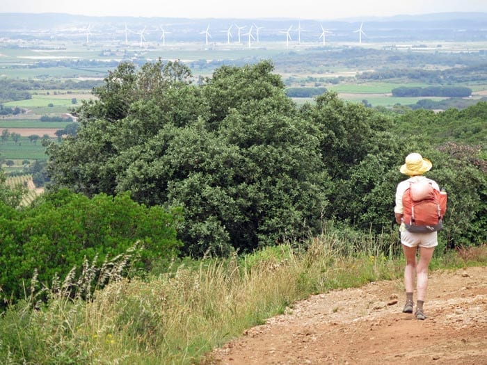
Pressing on through the vineyard, we saw a road in the distance and worked out where we were – near the intersection of the D613 and the road to the Abbey of Fontfroide.
Beyond this point we followed a tiny road signposted to Bizanet and soon went under the autoroute, then left the bitumen and turned up a stony track between the autoroute and a steep, scrubby hill.
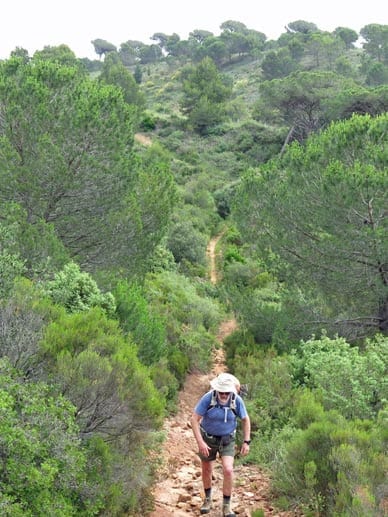
Our aim was to skirt around this hill and arrive at the camping ground, which was a couple of kilometres away from the village. The trouble with this plan was that the track did not skirt around, it went straight up.
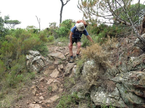
It was appallingly eroded which made it quite a climb, and we were horrified when it started to descend precipitously towards the autoroute. We had not come all this way up just to go down again, and still be on the wrong side of the hill, so we left the track and pushed up through the vegetation to the summit.
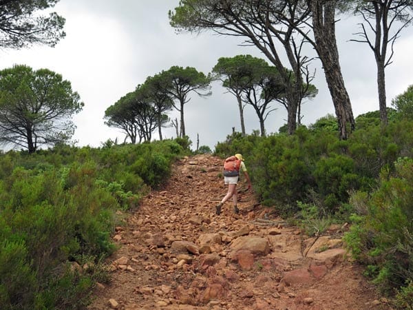
On the other side there was a rough path going down in the direction we needed, and after half an hour of struggle we arrived at a farm road which took us through pinewoods, beside yet more vines, to the camping ground on the D224.
This was a collection of buildings surrounded by gravel, slightly ramshackle although some attempt had been made to liven things up with paint.
The couple in charge spoke to us in baby talk and sign language, which was annoying, given the years of effort that we had put into learning French.
When we said that we needed grass, not gravel, to camp on, they sent us to an untidy slope of dead weeds, but we did not care, as we were exhausted. It was our first full day of walking and it had been longer and harder than we expected. On the other hand, the price of €19 was breathtaking – almost as much as in Paris.
The campsite contained a picnic table, which was handy, and some plastic deckchairs, which were not. The best thing about it was the view of gnarled, rough-barked pines beyond the fence. After our showers – warm enough but rather dilapidated – we lay in the tent for a long time, enjoying the sensation of not moving.
We knew that there were two restaurants in the village and intended to walk in later, but before long we heard thunder, and a torrential rainstorm swept in. It went on for a long time, during which we lost the urge to walk the two kilometres to dinner, and two kilometres back.
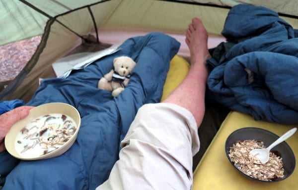
Instead we had muesli with powdered milk and a big helping of the dried fruit that we had made ourselves a few months before. It was cosy and dry in the tent and we were very happy to stay there until morning.
Previous day: Port-la-Nouvelle to Sigean