Saturday, 10 June 2006
Distance 19 km (including 5 km being lost), time 5 hours
Ascent 50 m, descent 60 m
Map 43 of the TOP100 blue series (now superseded)
Having arrived the evening before on the bus from Macon, we spent the morning looking around the village. We saw the great abbey church in outline on the ground, with its the one standing transept which on its own was the size of any normal cathedral.
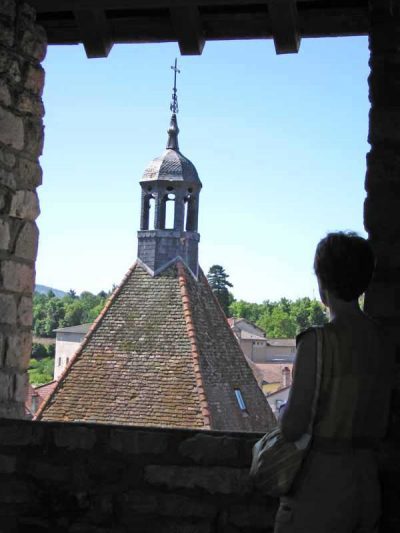
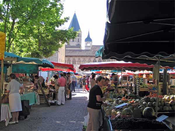
We visited the museum, climbed the Tour des Fromages for a view over the roofs of the village and went to the weekly market.
At midday we went back to the camping ground, just across the highway, packed up our tiny tent and set off in fine form to join the GR, which was shown on our map as going off from the main north road.
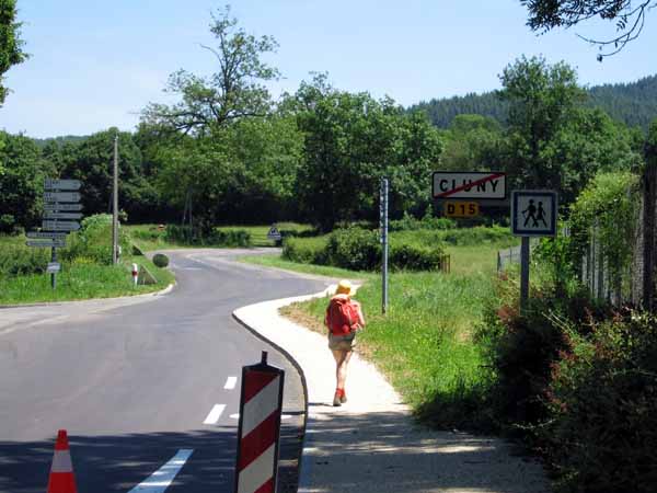
Slightly put out when we found no sign of it, we took a little road to the east, which quickly degenerated into a farm track and then a dead end. By 1:30 pm we were back where we had started from at the camping ground, not best pleased.
For our second attempt we tried the road that went uphill beside the camping, and very soon saw a GR sign – red and white painted stripes – which was very good for our morale. All the same, we had not been on the GR for more than a few minutes when we left it again.
Just as we approached a TGV underpass, we noticed we were crossing a pedestrian/cycle path, with a sign announcing itself as the Voie Verte.
Out of curiosity we took it, and after a short while we started to notice old stone embankments and cuttings flanking the track, looking unnecessarily elaborate for a walking track.
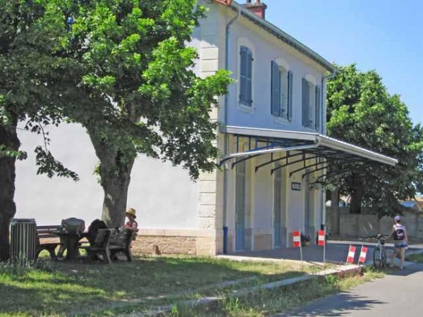
It dawned on our slow-moving minds that we were on a disused railway line, a suspicion that was soon confirmed by the appearance of the first station, with its name still visible on the wall.
This was the third such track we had encountered in France. They are always reliable to walk on – flat and direct – but these very attributes make them a bit boring sometimes. This one was busier than it had ever been in its former life – weekend cyclists and roller-bladers flocked past us in both directions.
After a very late lunch in the shade of a hedge, we trudged past the hilltop town of Taizé, whose present fame rests on the founding of a religious community there in 1940, followed by the bizarre murder of its founder in 2005.
Then we saw the back view of Cormatin chateau, its grounds and lakes enclosed in a wall. There was a lane leading off the Voie Verte into the village of Cormatin, which looked unpromising at first, but turned out to have, not only a café and a restaurant or two, but even a camping area.
This was not mentioned in any of the lists we had got off the internet. You win some and, as we found in later days, you lose some.
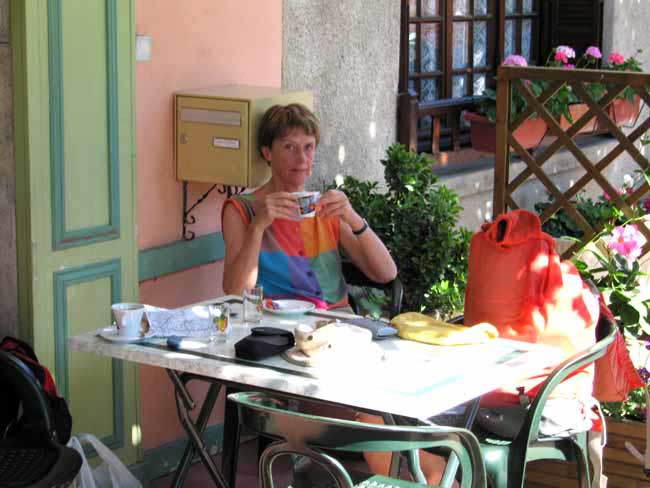
We adorned the umbrella-shaded café terrace for a while, then booked in at the camping, where everything was fresh and smart and all the emplacements had floral names. For dinner we ate on the wooden verandah of the hotel, just across the road from the chateau.
Our €14 menu began with a plate of crudités and an elaborate salad, then progressed to boeuf bouguignon and navarin de mouton, two substantial local specialités, which we greatly appreciated after the rigours of our first day on the track.
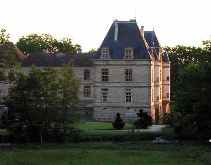
The château was still open to tourists, but we stuck to our normal habit and did not go inside. Shuffling through mocked-up rooms gets in the way of our feeling that we are humble travellers, who would never have been admitted to such noble precincts in their time of glory.
Instead we peered at the exterior over the wall – a fine seventeenth-century pile floating romantically in its lake, with formal gardens and a maze.
The grass in the camping ground was soft and we slept like logs.