Friday, 6 July 2012
Distance 29 km
Duration 7 hours 0 minutes
Ascent 428 m, descent 312 m
Map 170 of the TOP100 lime-green series
This day stands out in our minds as the one when we got comprehensively lost four times, which was probably a record, even for us.
Because we had run out of powdered milk with which to make our humble breakfast, we decided to set off unfed and pick up coffee and pastries along the way.
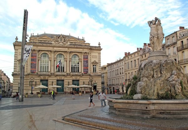
At 7 am Montpellier looked very different from the evening before. Street sweepers and trams were almost the only moving things, apart from a couple of sparsely attended bars. Arriving at the Cours Gambetta, we strode along briskly.
According to our antiquated map, we should have been on the GR all the way from the centre of town, but we did not notice any signs (later we found out that the route of the GR had changed).
More and more bars were opening but it seemed a good idea to get a bit of distance through the suburbs before stopping.
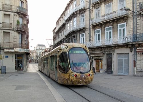
However we did stop at a boulangerie for bread, a croissant and a pain aux raisins, and then at an épicerie for some lunch food and a new packet of powdered milk.
A little further on we began to look for a breakfast place. We rejected a couple of dark, dreary bars, but shortly afterwards came to a pleasant one with trees and umbrellas. Unfortunately it was attached to a another boulangerie, and we already had our provisions, so we kept going.
Then, to our horror, we found ourselves out of the built-up area, at the tram terminus, amongst a tangle of roads and underpasses. With some difficulty we got ourselves to the small river Mosson and crossed the bridge, which was beside the ruins of a much older one.
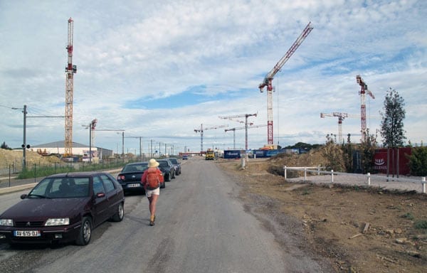
We were now in Juvignac. There were no GR signs that we could see, which did not surprise us, as the whole place had been turned into a building site.
The ground had been scraped bare, except along the river itself, and was bristling with cranes, bulldozers, trucks and containers. Huge placards sang the virtues of the apartment blocks to come.
The lack of breakfast was beginning to wear us down. We asked some workmen whether they knew where the GR was, and they pointed vaguely onward, down the slope. At the bottom the construction site gave way to a brand-new toy town of cottages, neat and sterile and of course devoid of anything resembling a bar.
On and on we toiled, up a series of streets, past a boulangerie, a coiffeur and a golf club. We had taken a compass bearing and were simply trying to get out of the houses and onto the GR at Grabels, which we knew was to the north.
Eventually we came to a slightly older area and noticed a couple of people packing suitcases into their car. We showed them our map and asked where we were, and to our surprise they knew all about the GR. They both spoke good English but I persevered in French.
They said that we would find one branch of the GR going straight to Bel Air, at the next corner, on the top of the rise, but it would be more pleasant to go via Grabels, taking a track along the river, for which they gave us directions.
Greatly relieved, we set off again, turned right and snaked down steeply towards the river flat, where there was a basketball court surrounded by a wire fence.
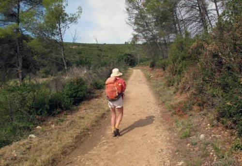
Our instructions were to go past this and follow the track. However we were confused by the houses on the hillside across the river, which we mistakenly thought was Grabels, so after a while we turned back, determined to cross the river and get onto the cycle path on that side. Fortunately we met a jogger at this point and he assured us that we had been right the first time.
Back we went, over the dry meadow for the third time, and soon came to a very ricketty footbridge. On the other side we found ourselves on a narrow dirt road which went along for half an hour beside the river, through scrub and spindly pines.
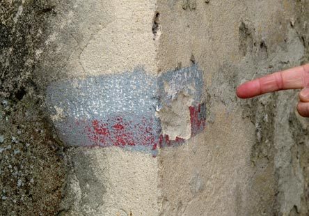
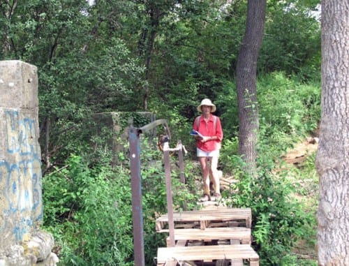
Somewhere on this stretch we saw our first GR sign for the day – a barely visible scrape of paint on a corner of concrete, relic of the old route that we had been trying to follow all morning.
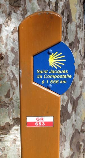
Then the outlying houses of Grabels came into view and to our great delight we arrived at the church, which was in a little square close to the water, shaded by a plane tree. A spanking new sign announced that we were on the GR653 and were only 1,556 km from Compostela.
Our first priority was breakfast. Up on the main road we had no trouble finding the bar and climbed the steps to a glassed-in terrace. We had been walking for over three and a half hours with nothing but a few swigs of water, so the joy of sitting comfortably with our shoes off, consuming coffee and pastries was indescribable.
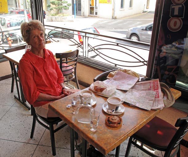
It was so delightful that we had two rounds of coffee, to prolong the experience.
Whilst at the bar, we happened to see in the Topoguide, just before the description of how to get out of Montpellier that we had followed with so much trouble, a warning that the route was now unmanageable and the pilgrim should go by tram and bus as far as Grabels!
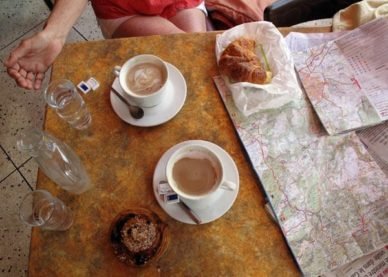
An hour later, with our bodies and minds restored, we descended again to the church and started off on the brightly marked GR, first across the river and then beside it along a steep forested slope.
There were tracks all over the hillside and before long we had lost the GR signs, but we struggled upwards until we emerged from the forest and the ground flattened out. To the right along the edge of the escarpment there was a boulder-strewn path which looked promising, but still we saw no GR marks.
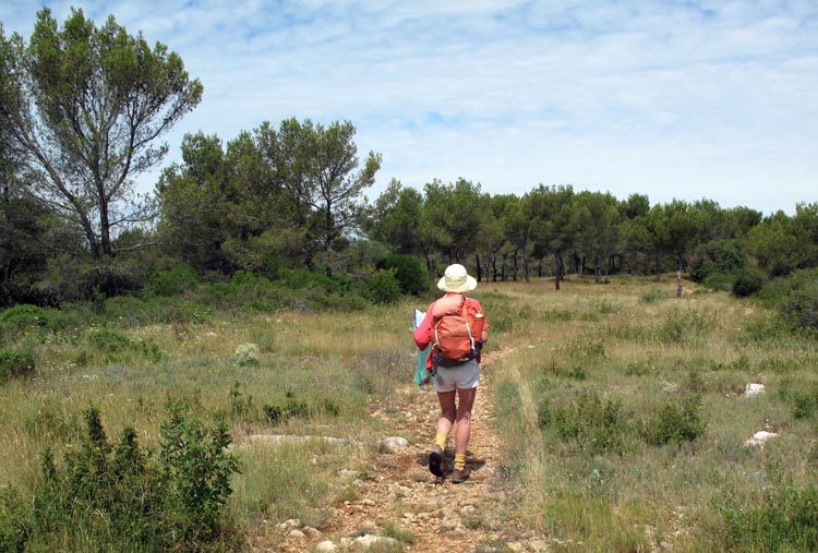
After walking a little way we came to a man who had taken his shirt off and was flapping it vigorously at a bush. We never found out what he was doing, but we did get directions from him.
He said to keep going until we came to a large hill of stones, then past the Go-Kart racing track – you will hear it, he assured us, rolling his eyes – and get to Bel Air in twenty minutes.
In fact it took us an hour. The ground was flat to the horizon, with no more than a gentle undulation, and was covered with low scrub – the landscape known locally as the garrigue.
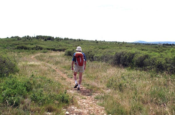
When we got to the hill of stones, which seemed to be an abandoned quarry, we were astonished to see a fresh GR mark on a rock beside the track. Why it was there was a mystery, but by hunting around we discovered a couple of others defining a path that crossed the one that we were on.
We had no idea whether to turn right or left along it. Eventually we decided to go left, which was lucky, as the right branch would have taken us back to Grabels.
The GR traversed a shallow dip and came to a line of power poles, where it turned right and continued under the wires. A long time later we saw the Karting course, but it lay empty and silent, presumably closed.
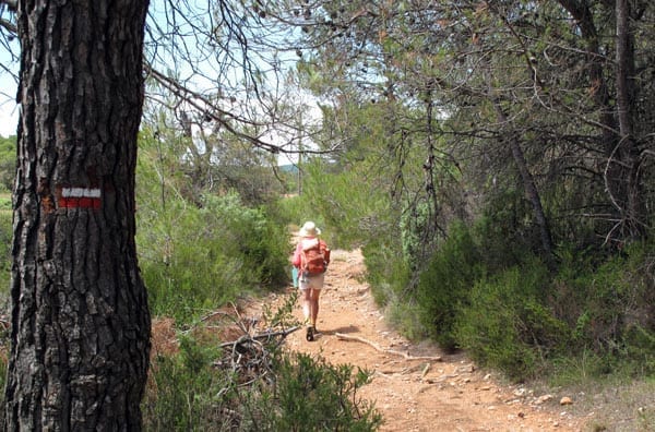
Bel Air was no more than a junction of big roads with a few buildings but no amenities to interest us.
Crossing the roads, we pressed on along a much shadier path, where there were occasional stands of pines and the land was cultivated, either with vineyards or with horse studs. There were traces of bitumen on the track, as if it had once been a proper road.
We could see the present road going along parallel to us towards Montarnaud and after a while we merged into it, as did the GR on our map. Just before this merging we saw new GR signs pointing up the ridge, away from the village, but we wisely ignored them.
It was only a short distance on the road before we turned into the village. The church stood at the end of a fine little square with a war memorial in the centre. There was a brasserie on the corner so we stopped on the shady verandah for coffee and cold water.
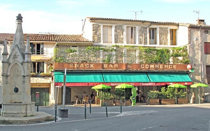
As far as we knew there was a gîte but no camping ground in Montarnaud and the barman confirmed this, adding that the gîte was only half a kilometre further on, at the edge of the village. The signs to “Le temps d’une Pause” would take us there.
We marched off until we came to a fork in the road, where there were sign for chambres in both directions, but the “Pause” sign pointed left so we went that way. The street started to climb and we arrived at the school, beyond which the houses gave way to open fields.
We searched but failed to find another sign (although we did see a GR mark), so in the end we retreated to the fork and tried the other direction. This led down to the river (the Mosson, the same small stream that we had crossed a couple of times already).
Once again we found ourselves out of the village in farmland. We asked a man who waving a whipper-snipper beside the road, but he had no idea, so in desperation we went back to the bar and admitted that we could not find the gîte. The barman obligingly telephoned several times and finally connected with someone who said that we could stay there tonight.
Then the barman’s wife led us out to the street and pointed to a large tree some distance away. We were to turn onto a lane at this tree and it would take us straight to the school, then we were to keep going until we saw the gîte, which was actually right on the GR, she said.
It was the work of a moment to get back to the school and this time we kept going, following the GR marks when they veered off from the road.
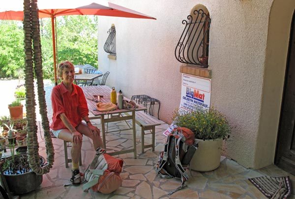
We were on a patched and potholed uphill track past an occasional house hidden in pines, and if it had not been for the words of the barman’s wife, we would have turned back. Even so, we almost missed the tiny sign attached to a letterbox that indicated the gîte.
We knocked on the door and called out to no avail. There was nothing for it but to wait on the terrace outside until someone showed up.
Eventually a man drove up in a truck, and took us around to the gîte behind the house, saying that madame would arrive shortly (in “une petite heure”).
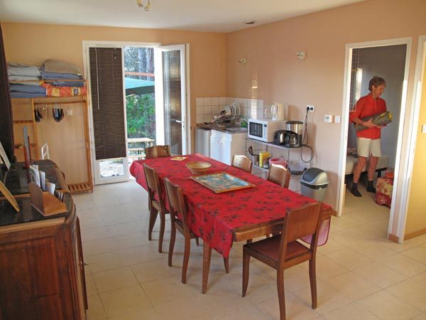
The gîte looked extremely new. It had two bedrooms, a living room with cooking facilities, a table and chairs, and a space-age bathroom, far fancier than anything we had seen in a hotel.
We were resting on the bed when madame came bustling in, She was small, voluble and almost too fluent in English (perhaps she was English originally). We paid €15 each for the night.
Before we set off for the village to have dinner, I realised that I had lost the plastic bag containing the map, the Topoguide and our lunch purchases. The latter were not important but the other two things were vital.
We looked on the terrace where we had waited but it was not there. At the brasserie, we went in to thank the barman for his help, and he immediately produced the lost plastic bag, so there were handshakes all round.
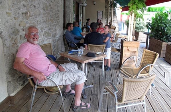
We had apéritifs under the vines outside, in the company of other Friday night drinkers, and then walked back a bit along the road that we had arrived on in the morning, where we had seen a couple of restaurants on our way in.
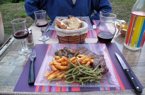
For no particular reason we chose Chez Titi, in a newish group of shops near the river.
The surroundings were slightly raw and ugly, but the atmosphere was convivial on the concrete terrace, with a good number of tables occupied. We had three courses for €15 and enjoyed them greatly, the more so because we had not actually had lunch.
While we were looking at the menu the waiter brought some little squares of toast with cream cheese, to keep us going. Then we both had salad, with which we emptied the bread basket.
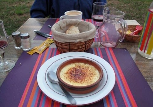
A second basket disappeared with the main course, which was steak with ratatouille, green beans and chips.
To finish Keith had a crème brûlée (his researches on this topic have been sadly neglected of late) and I had a creamy coffee.
Despite the lack of lunch, I found the steak too large, so I put some of it away for tomorrow, together with several sachets of mayonnaise, mustard and tomato sauce.
Previous section: St-Gilles to Montpellier