Saturday, 19 June 2004
Distance 29 km
Duration 6 hours 25 minutes
Ascent 79 m, descent 98 m
Map 64 of the TOP100 blue series (now superseded)
Topoguide Le Chemin d’Arles (blue cover)
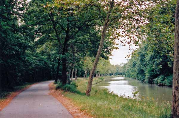
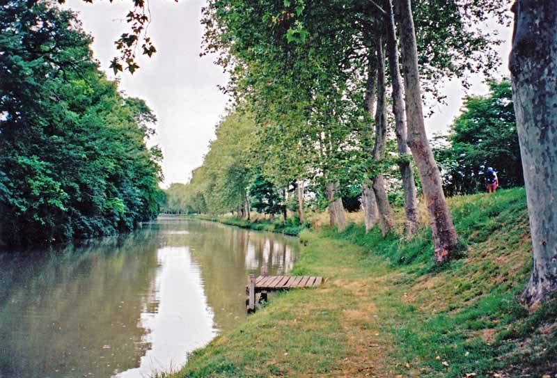
In the Topoguide the GR looked steep and circuitous, and we much preferred the gravel cycle path on the Canal, which we joined immediately after crossing the bridge from the camping ground.
The width and grandeur of the canal was a change from the busy wriggling of the Rigole, and we swung along happily under the trees for an hour until we came to the Renneville road, where we turned off to the right to visit Villefranche-de-Lauragais.
The weekend was fast approaching and we needed to lay in supplies, not only for lunches but also for our evening picnic at Ayguesvives, which, according to our information, had a camping ground but no restaurant.
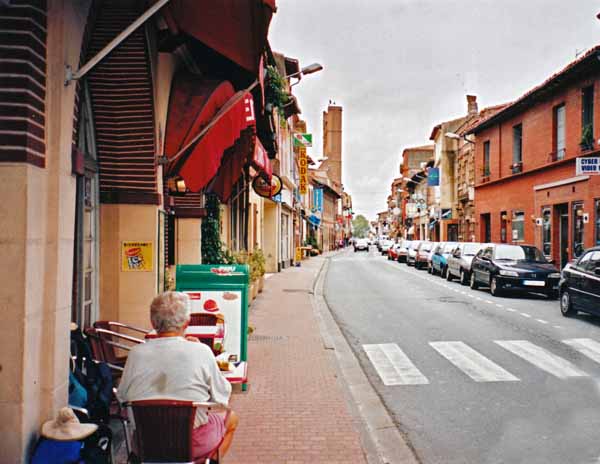
Over the autoroute, then over the railway line, we entered a desolate street and our hearts started to sink, but we need not have worried, as we soon noticed the main street a block away, crammed with Saturday morning shoppers and all sorts of shops.
Our first priority was coffee and croissants on the footpath, almost in the gutter, with people sidling past as best they could. Only after that did we visit the supermarket for cheese, ham, a bottle of wine and a tin of lentils with vegetables.
We regained the Canal by a different road, towards Gardouch.
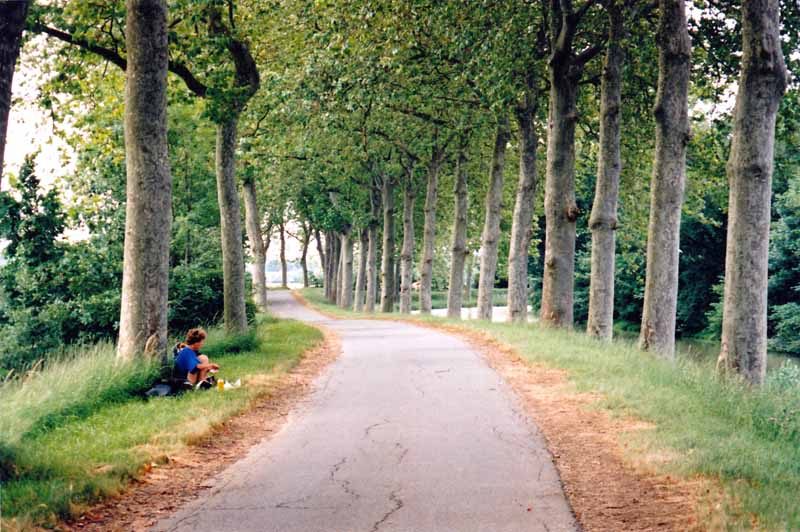
Lunch was taken on the grass, leaning against the trunk of a stout plane tree.
A succession of cyclists wished us bon appétit, not including a group of lads who jostled past without the usual French courtesy, followed by a hatchet-faced minder with a T-shirt of the society for the prevention of juvenile delinquency. It was a work in progress, evidently.
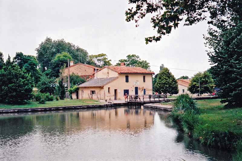
Light rain was staining the path between the sheltering trees as we arrived at our destination, Ayguesvives, with its lock and footbridge and its well-tended garden. The village was a kilometre or so up the road and the nearer we got, the more we began to have doubts.
The centre was a wasteland except for a large, brightly-lit pharmacy, the last sign of commerce in a dying town. The pharmacist had never heard of a camping ground at Ayguesvives and suggested we go back to the canal, which we did.
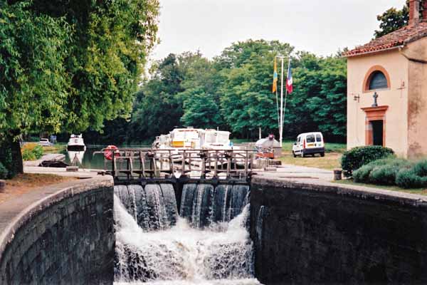
The lock-keeper appeared and after a bit of a struggle, remembered the whereabouts of the camping ground and gave us directions, through a small industrial zone. When we got there our joy was short-lived.
The place was entirely filled with sad, mouldering caravans and shanties, obviously permanent, and there was a sign on the grimy window of the office – Camping Complet.
We hastened away and crossed back over the canal to the path. There was life in the day still, and we hoped to have better luck at Deyme, which the lock-keeper had mentioned.
At Montgiscard we had the pleasure of seeing a boat go through the lock, then retired to a bar on the highway to build up our strength for the final push to Donneville before we had to leave the canal. From there we hurried along the road, trying to keep ahead of the weather, but in the end it caught up with us.
Cars squelched past with their lights on and wipers going madly. When we got to the turnoff to Deyme, with another kilometre to go, a huge lighted sign – Camping – loomed out of the rain. We had arrived.
We flung the tent up as the rain intensified and dived into its shelter. Snug and secure, we dined on our tin of lentils, which was helped down by the wine.
When the rain stopped we crept out for showers, and they turned out to be the best we had ever had in a camping ground, as good as a hotel.
We slept long and well, with the sighing of the pine trees overhead a pleasant refrain. Nevertheless we were getting tired of being messed about with wrong information. It was lucky that we did not know what lay ahead.
Previous day: St-Felix-Lauragais to Avignonet-Lauragais