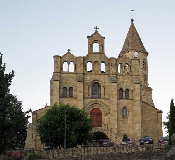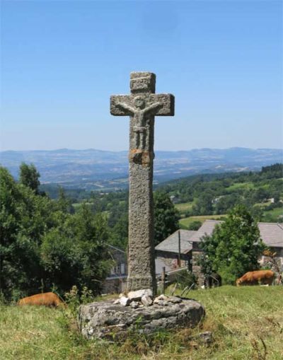
This 350-kilometre walk from Geneva to le Puy, although included as part of the GR65 (the Way of St James), does not have the same historical roots as the other pilgrim routes through France.
The Ways of le Puy, Arles, Tours and Vézelay are based on routes that have been well-recognised since the twelfth century (although there were innumerable small variations).
By contrast the Way of Geneva is a modern route, designed in the 1990s by the Amis de St-Jacques, to guide walkers from Switzerland, Austria and Germany to le Puy, from where they could set off on the traditional pilgrimage.

It is now well marked with both blue-and-yellow cockleshell signs and the usual red-and-white GR signs.
The countryside is mild for the most part, although it is high above sea level and we often suffered from cold at night. Some of the route is beside the upper Rhône, already an impressively large river, although nothing like what it would become lower down.
It cuts off an enormous loop of the river between St-Genis-sur-Guiers and Clonas, then crosses over and goes through a more mountainous section before arriving at le Puy.
It took us 17 days to do this walk.
The diary has been broken up into the following sections:
Saint-Julien-en-Genevois to Yenne
Beaurepaire to Saint-Sauveur-en-Rue
Saint-Sauveur-en-Rue to le Puy-en-Velay
To see icons for each night’s accommodation on this map, press the full-screen symbol at the top right and then tick the accommodation icon box at the top left. Zoom in on a particular icon to see its precise location. These accommodation icons are also shown on all section maps.
You can also see this map using Google Earth and take a virtual flight along our route.