Friday, 1 July 2016
Distance 23 km
Duration 5 hours 5 minutes
Ascent 74 m, descent 94 m
Map 150 of the
Topoguide (ref. 650) Sentier vers Saint-Jacques-de-Compostelle : Genève – Le Puy
This morning was quite a different story from yesterday.
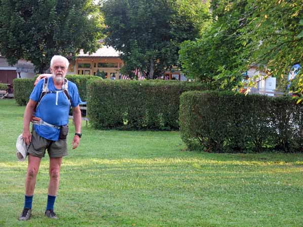
We packed up with machine-like efficiency, slipped out the back gate and were sitting at the Bar du Centre by
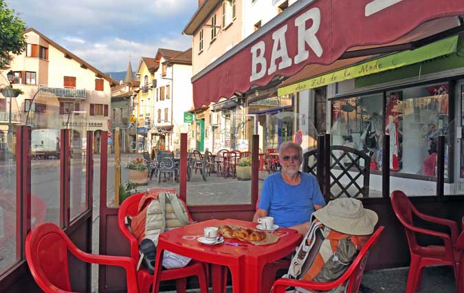
There were several other customers already basking in the early sunshine, and every one them was smoking, as were all the staff. That is not a sight that we see in our country any more.
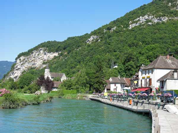
Suitably fortified, we set off down the narrow old street to the bridge, but instead of crossing it, we followed the river bank past the hotel, around the port and then along a cycle path.
This was the GR variant, and after about half an hour it reconnected with the main GR, although why the so-called main route would want to bypass the pleasures of Seyssel was beyond us.
We then crossed the bridge over the tiny river Fier, which was the border between the departments of Haute-Savoie and Savoie.
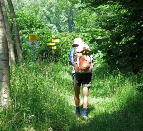
At this point we began to see normal red and white GR signs for the first time since leaving Burgundy – the weird new signs are evidently a speciality of Haute-Savoie.
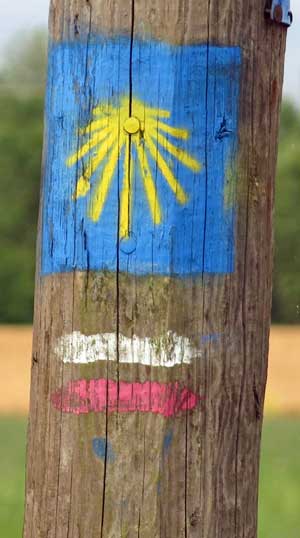
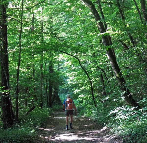
We walked briefly on a road as we negotiated a public park and sports centre on a promontory, then the road petered out at a barrage and we clambered up from the river bank through a rich deciduous wood.
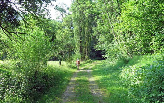
Once we were above the river, the track flattened out, with patches of cool, over-arching forest interspersed with shining meadows.
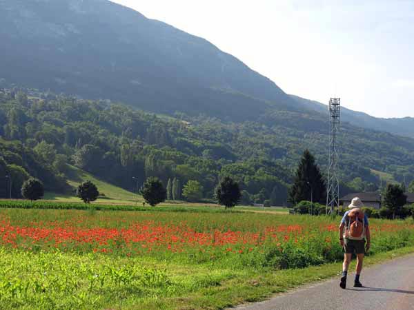
Eventually we came out into fields of green corn and scarlet poppies. Above us was the great brow of the ridge that separated Savoie from Haute-Savoie.
At this point we departed from the GR in the hope of finding a bar in the village of Serrières-en-Chautagne, a short trudge along the D991. Indeed there was one, just before the little shopping centre.
We sat on a small shady terrace enclosed by greenery, while our hostess fussed about adjusting the wobbly table, then brought us coffee with a generous jug of hot milk. It was three hours since our last round of coffee so we were ready for a break.
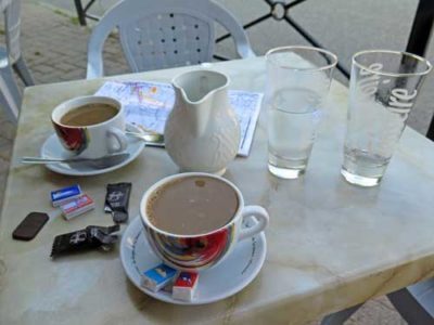
Pressing on, we turned away from the highway, past the park with its lake and camping ground, and quite soon we came to a crossroads, where the bitumen ceased.
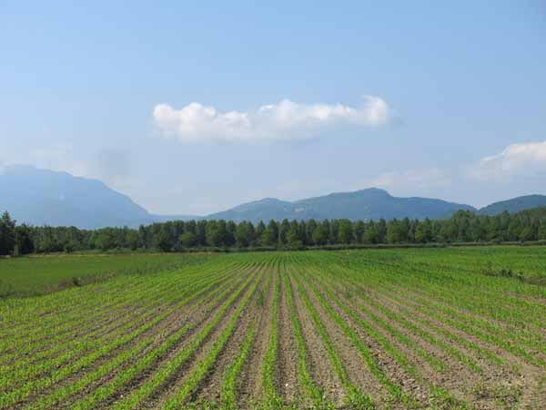
We could have continued straight ahead and joined the GR, which was once again hugging the bank of the Rhône, but instead we took a white gravel road past more fields of unripe corn, and plunged into a large, dense planted forest.
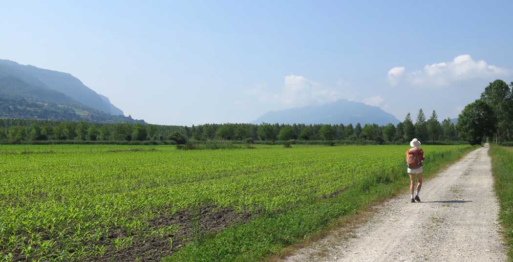
This poplar plantation, the biggest in Europe, was established over a century ago on the flood plain of the river, where previously cattle had been raised. Apparently timber had become a more profitable crop than meat at the time.
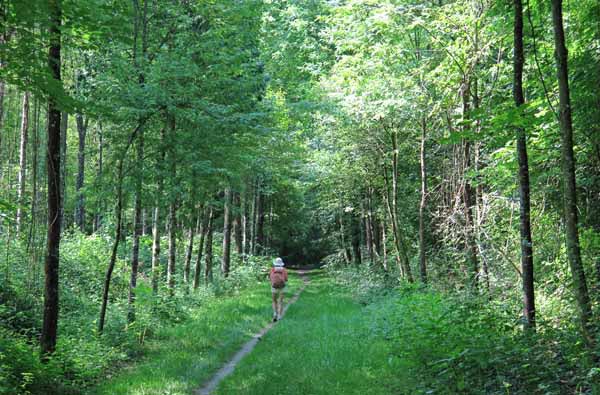
It was now a mature forest criss-crossed by tracks, on which we made our way in cool shade.
It was a delightful change from the glaring white road, but a slight drawback were the mosquitoes, which we have seldom encountered in France except for this rainy year.
Before long we found ourselves back on the riverbank, and also back on the GR. Only a couple of kilometres beyond that we turned off at the hamlet of la Loi, and walked through it to the busy highway of the D904, where there was a brasserie on the corner.
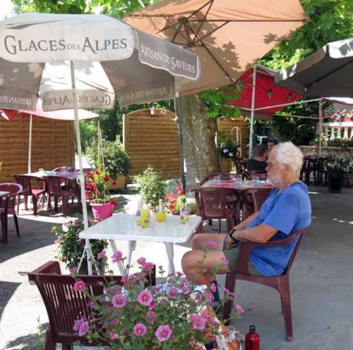
Tables were set out under the double protection of plane trees and sun umbrellas, and tubs of flowers filled every available space. It was nearly midday and people were starting to arrive for lunch.
We sat down and ordered Oranginas, not because we were particularly thirsty, but just to enjoy the pleasure of the surroundings. Our drinks came loaded with ice blocks, a much appreciated touch.
After this we walked to the bridge where, luckily for us, there were steps leading down to the GR, which was passing under the highway at river level.
A few metres further on there was a fork in the track and we left the GR again, taking a dusty wheel track that went straight through the trees to a dilapidated sand-dredging operation.
Stagnant pools and silent, rusty machinery suggested that it was a relic of the past. To get back on the GR we had to scramble across a ditch choked with reeds and brambles, at the end of which we were not sure that our little short-cut had been such a brilliant idea.
The next part of the track led us out of the trees onto the river bank, and we saw a pretty lake backed by a cliff, and a railway bridge ahead.
To our surprise there was another flourishing café on the edge of the lake, but we did not require its services, so we pressed on under the bridge and walked along the top of the levee bank for half an hour until we came to the lock and boat harbour at the entrance of Chanaz.
This was as far as we were going that day. The camping ground was nearby and we were pleased to see a large, thriving restaurant (l’Écluse) under the trees just outside it.
Inside the gates, it was like a suburban retirement village, with a grid of small tar roads lined by mobile homes and caravans, each with its well-tended hedged garden and an elderly couple.
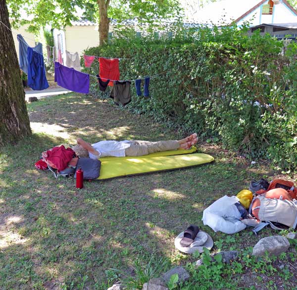
We found a grassy corner under a tree and stretched out on our mats after washing ourselves and our clothes. The showers were no more than lukewarm, but we were hot enough not to mind.
In the late afternoon we went to see the sights of the village. Finding our way there was very confusing, as there was water on all sides – the river, the port, the canal and a lake.
We followed signs along a gravel path around the lake, in which stood a group of holiday houses on stilts, like a flock of gigantic prehistoric water birds.
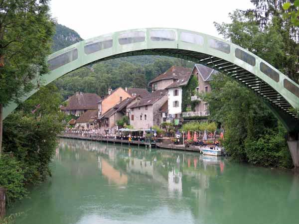
Then we came to an immensely high hump-backed footbridge over the canal and saw the village itself ranged along the opposite bank.
It was a very pretty scene from above. The old houses with their brown, weather-beaten roofs formed a charming backdrop to the line of cafes along the water’s edge, with their pot plants and umbrellas.
However, up close the village was less appealing. It had the air of a toy town, with a lot of overpriced gift shops, restaurants and bars. None of the menus on display sounded interesting, but as we had decided to eat at the restaurant near the camping ground, we did not care.
More worrying was the absence of a bar that opened early in the morning. We knew there would be no refreshments along the way tomorrow so we wanted to set off properly fed (and caffeinated), but the earliest opening time we could find was 8:30 am, far too late for a hot day’s walking.
Crossing back over the canal, we learned that it was actually the natural outlet of the Lac du Bourget, about three kilometres away, and had been used for thousands of years as a trade route, only being officially made into a canal in the nineteenth century. Julius Caesar was one of a long list of notables who had made use of it.
We took a different path, past the port, on our way back to the camping ground. There were gates at intervals in the perimeter fence but they were all locked and although we could see our tent, we could not get to it.
There were some cabins nearby, occupied by young holiday makers, and one of them helpfully shouted out the code for the combination lock on the gate. So much for the elaborate security system.
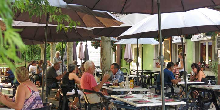
Our evening meal under the trees was a great pleasure. The air was warm and full of the chatter of the other diners, who arrived in droves by car. Friday night seemed to be eating-out night in Chanaz.
We ordered one three-course menu, plus an extra main dish. The first course was a salade niçoise, adorned with eggs, anchovies and olives, which we consumed with gusto.
Then Keith had the plat du jour of pasta, and I had two sausages (called diots in these parts, as we had learned last night) with a creamy gratin dauphinois. A quantity of red wine and bread accompanied these delights.
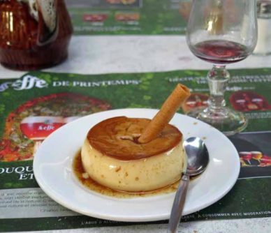
That was enough for me, but Keith did his duty by the final course, a trembling crème caramel impaled by a pirouline.
It was lucky that we only had to walk a few steps to get back to our tent, because there was thunder in the air as we left the restaurant, quickly followed by a torrent of rain.
Previous day: Rest day in Seyssel
