Friday, 6 June 2003
Distance 27 km
Duration 6 hours 40 minutes
Ascent 291 m, descent 275 m
Maps 57 and 56 of the TOP 100 blue series (now superseded)
Topoguide (ref. 653) Sentier de Saint-Jacques de-Compostelle, Moissac/Condom/Roncevaux
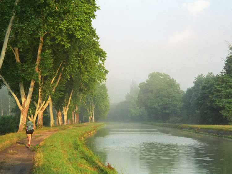
Mist hung over the Tarn as we packed our things and crossed off the island. Needless to say, there was nobody at the reception at 6:45, so once again it was a free night.
The GR followed the towpath beside the canal, overhung by plane trees of mighty girth which made a continuous canopy of green over the path and the tranquil water. Some canoeists had pitched their little tent on the grassy bank opposite and a sailing boat pottered past with its mast down.
Not far along, the huge expanse of the Garonne meets the Tarn. This area used to be subject to terrible floods, the last really disastrous one being in 1930, before the rivers were as controlled as they are now.
We diverged from the towpath for morning coffee at the village of Malause. It was a little floral gem, with a pâtisserie and a Café des Sports to supply our wants. The young woman serving us was from Lyon and found it a bit quiet here.
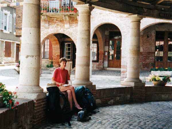
Back on the towpath, we walked for a while between two canals, but soon turned south, over pancake-flat fields, to the little town of Espalais, where there was an immaculate shady park with water and toilets for pilgrims.
Finally crossing the massive Garonne, the track pulled up steeply to the village of Auvillar on a jutting promontory.
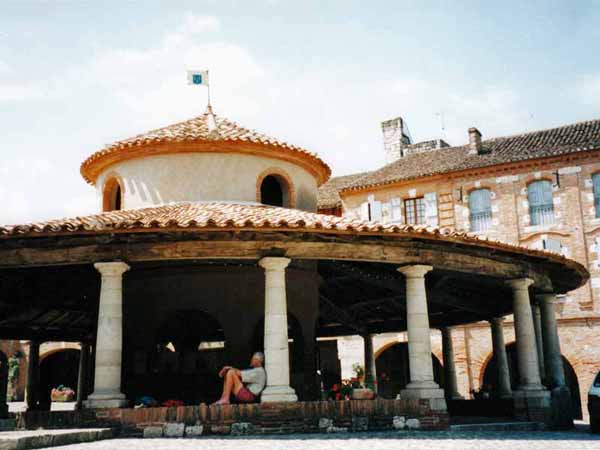
This was an ancient river-trading settlement from Gallo-Roman times, now a Plus Beau Village, with a triangular central place lined with arcades and dominated by a circular halle, in which old stone grain-measures still stand.
We ate our lunch there, then stepped up under the clock tower of the defensive wall to have coffee.
Beyond the town, the path continued to rise unreasonably until we reached a wood, then it dipped under the fearsome legs of an autoroute viaduct and rose again. Eventually we reached an open plateau.
At Bardigues, another charming flowery village, the hotel terrace was packed with happy diners. There was a camping sign, but it only referred to a parking area for camping cars.
Pressing on for another hour, we got to the gîte d’étape at Saint-Antoine, where we established our tent under a line of washing beside a vegetable patch. This cost us €2.
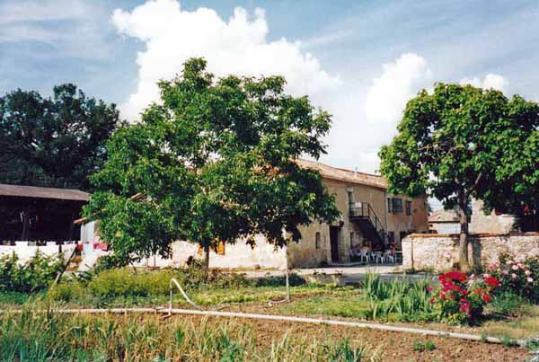
Many of the walkers we had already met along the way were gathered here, waiting to be fed – an English property developer and his French wife, a Flemish man whose excellent English was learned from a book, with his sweet-faced, silent wife, a muscular girl from Tarbes, some of the Alsatians and two French men, one very old and the other crippled by blisters.
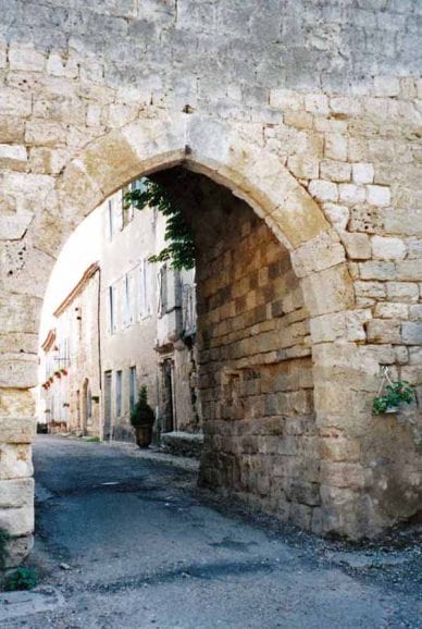
Saint-Antoine began as a hospice for sufferers of Saint Antony’s fire, also known as ergotism, a disease caused by eating mouldy grain.
The church contains the actual saint’s hand, fortunately encased in silver so we were spared the sight of it. The decoration on the facade recalls the long Moorish occupation of this part of the country, only brought to an end by Charlemagne.
Dinner was served at a long table indoors. Our hostess brought in bread and tureens of chicken soup, then a slab of terrine. Great jugs of red wine and water were constantly refilled. We became animated as the platters of sweating meat and noodles were passed around.
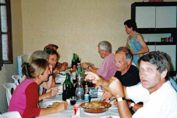
At one end sat the old husband in overalls, clutching his own clasp knife in a dirt-encrusted hand.
A long, enjoyable discussion of world affairs kept us amused until bed-time.
Previous section: Cahors to Moissac