Thursday, 3 June 2010
Distance 30 km
Duration 6 hours 35 minutes
Ascent 556 m, descent 639 m
Map 41 of the TOP100 blue series (or Map 140 in the new lime-green series)
Topoguide (ref. 6542) Sentier vers Saint-Jacques-de-Compostelle via Vézelay
We woke to a sky of peerless blue, a sight that we had almost forgotten. Our sleep in the hotel bed had been delicious after the rigours of the previous night, and even our simple breakfast of muesli seemed luxurious.
We were not staying for the hotel breakfast at 8 am, being habituated to early starts, but we spent some time carefully taping up our blisters before slipping out at 7:30.
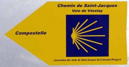
The blue and yellow pilgrim signs led straight down the road towards Marsac, whereas the GR avoided Marsac altogether.
We had no intention of missing the chance of a second breakfast there, so we went with the pilgrims.
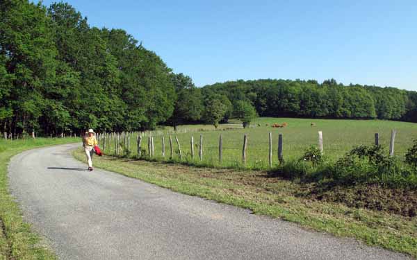
Halfway down, this track turned off to the left into a thick wood but we did not follow, being wary of such things after all the rain. Soon the steep road flattened out and we emerged into fields, with the village visible not far away.
After the first few unpromising streets, we came to a new shopping centre, making up in amenity for what it lacked in aesthetic appeal.
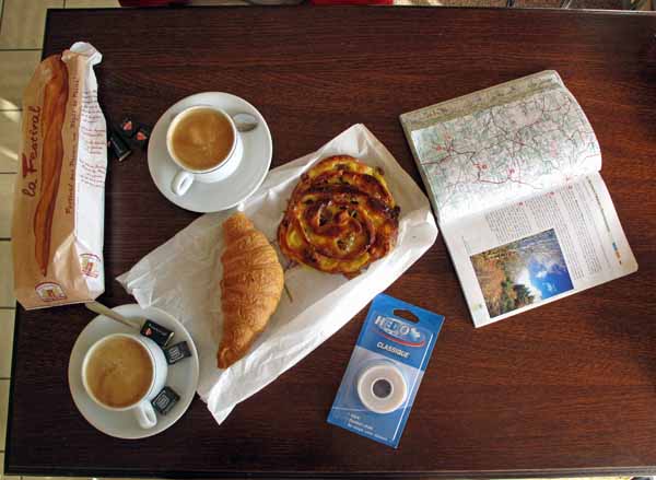
Amongst other things there was a supermarket (where we bought more sticking plaster for our blisters and more glue for my shoes), a boulangerie (where we got bread and pastries) and a bar (where we consumed the pastries with our first coffee of the day). We sat indoors, as the brightness of the morning had not yet translated into warmth.
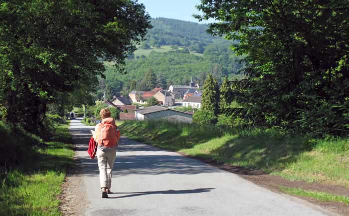
Invigorated by this delightful pause, we pressed on past the railway station, over the line and into the country, following the pilgrim signs once more, on a tiny road that wended its way over the knoll of les Rorgues with its few houses.
The pilgrim markers suddenly started again when a muddy forest road entered the one we were on.
Somewhere after that we lost the markers and found ourselves about to join the D43, but from the map we worked out that if we turned right we would get back on the track, and so it proved.
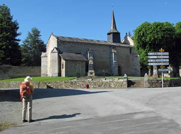
Arrènes had a tiny fortified church with a black steeple gleaming in the sun, and on the short walk from there to l’Abbaye, the road started to rise.
The GR came in from the left and we joined forces with it, plunging off the bitumen on what looked an old main thoroughfare – a cobbled path bordered with low, mossy stone walls.
It climbed relentlessly through the forest and was mucky and slippery all the way, except when we crossed a road at Champegaud. Here I felt so hot from the exertion that I zipped off my long trouser legs for only the second time in the trip.
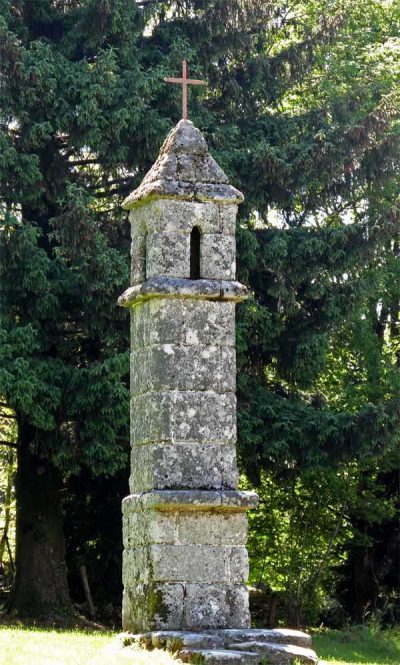
For the last kilometre of the ascent, the track borrowed the tar road, and as we came into the settlement of Saint-Goussaud we saw a lantern of the dead, smaller and more rustic than most, but all the more appealing for that.
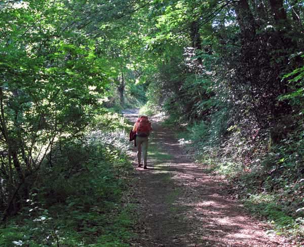
Saint-Goussaud was hardly worthy of the name of hamlet, let alone village, and stood at a windswept crossroads with a large church and a few hardy granite buildings, one of which bore a sign “Auberge-Bar”. To our great relief it was open and we went inside for coffee, as the air was bitingly cold once we had stopped.
After the refreshment and by way of prolonging our rest, we went into the church in search of the celebrated “boeuf allongé” (recumbent ox), which we found at last in a dark corner, at the feet of a coloured statue of Saint Goussaud.
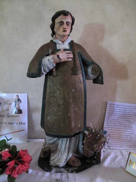
Both ox and saint were as small as children’s toys, and the ox was a sorry sight, skewered all over with pins.
Young girls apparently come here at Pentecost and stick in the pins in the hope of getting a husband. If there is any truth in the story that all the girls whose pins do not fall out will be married within a year, there were going to be non-stop weddings for the foreseeable future.
Over the last few days we had done very well by preferring the pilgrim way to the GR654. We had built up a trust in its good sense, even though we only had a vague idea of its route.
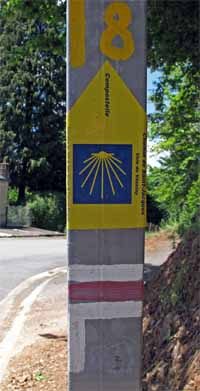
Accordingly, when we left Saint-Goussaud in the direction of les Billanges, we followed the blue and yellow markers, down the road and then into the forest. Later the red and white GR marks reappeared, but they were for the GR4, not the GR654.
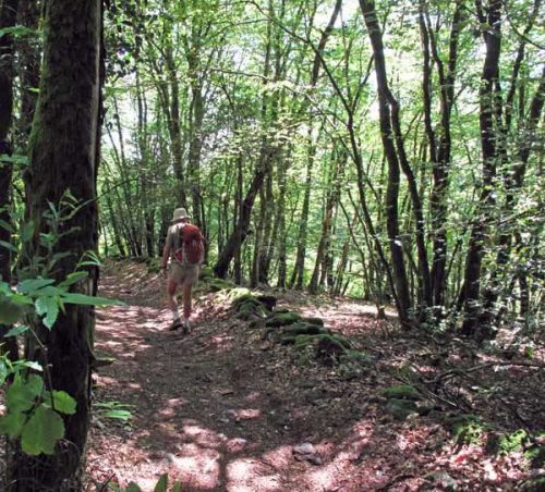
The track we were on was the same well-formed old road that we had used on the way up, with vestiges of paving and drystone walls still discernible.
We emerged from the forest briefly to cross a tar road and then returned to the enclosing dimness of the woods, all the time veering more to the east than we felt we should.
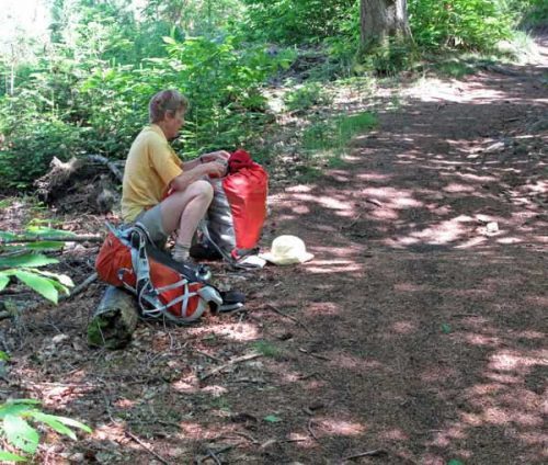
Lunch was taken sitting on a log beside the track. We had the fresh baguette from Marsac with Brie and salad, a delicious meal in lovely surroundings.
Then the path went on and on, down and down, until at long last we came out of the trees onto a road and entered the village of Châtelus-le-Marcheix.
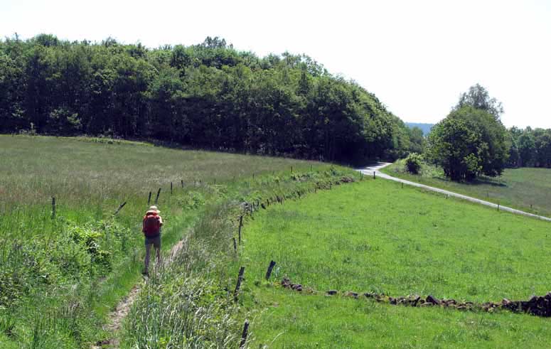
This was not at all the destination that we were heading for, and we saw with horror a sign “Les Billanges 10 km”, pointing along the road. The pilgrim signs went that way, but we parted company with the GR4.
Before embarking on the unwelcome extra distance, we strengthened ourselves at a café, sitting indoors as always. The little road was shaded and rather hilly, crossing several streams and passing a couple of hamlets.
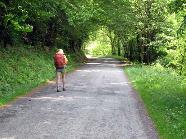
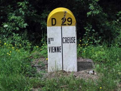
Our feet were starting to feel the strain by the time we got to the departmental boundary between Creuse and Haute Vienne.
At the edge of the forest we finally reconnected with the GR654, which had taken a far more direct way down from Saint-Goussaud, but seeing the slimy state of the track, we stayed on the bitumen for the remaining few kilometres to les Billanges.
Just as we came across the fields to the first houses of the village, we saw the two Germans dawdling along ahead of us. We had never seen them take a determined forward step and yet here they were, arriving before us. We caught up to them and discovered that they had left Bénévent-l’Abbaye an hour and a half later than us, having stayed for breakfast at the hotel.
Hiding our chagrin as best we could, we strolled along with them until we came to the village restaurant, and went in to enquire about dinner this evening. The answer was no, they only served meals at midday, but we should try at the gîte down behind the church, Chez Françoise.
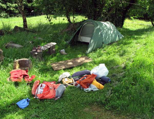
A little exploration revealed a low gate with a hand-painted sign, and we went in to a stretch of lawn beside a long old farmhouse. Two women emerged and kissed us, then showed us around the place.
The older woman was German so she and our companions began a lively conversation in their own language, leaving us to speak French with the younger one, her daughter.
We arranged to sleep in our tent on the lawn, and to eat the dinner that they were cooking, for a total of €31.
The showers were in a corner of the barn, part of the same long building, and were reached by clambering over a stable door. Above the large sitting and dining area were three rooms full of beds, plus another bathroom.
Once again I was obliged to glue my shoes together. It was becoming a daily ritual and I was increasingly worried about whether they would last the distance. Then we stretched out for a rest in our tent, while the Germans sat in the garden nearby, drinking beer with the old woman. When I walked past later, they announced excitedly that they lived within 50 km of the old woman’s home town, which she had left many years earlier.
Just before we were summoned to dinner, another walker arrived, a sturdy Dutchman by the name of Henk. He had walked all the way from la Souterraine in one day, not from choice but because he could not find anywhere to lay his head.
He could have stayed at Bénévent-l’Abbaye but had decided to carry on to Marsac, only to find there was nothing there, nor at Saint-Goussaud, not even at la Besse a couple of kilometres away. After all that disappointment he was delighted to arrive at this welcoming place and seemed remarkably fresh.
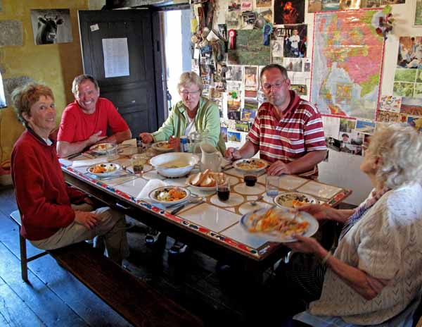
Round the dinner table, most of the talk was in German. Henk had a slight grip on it, more than we did, and the women could both speak it. The older one never worked out whether we were French or German and kept addressing us in German.
The meal began with vegetable soup, then a platter of cold salmon, potato and mayonnaise was passed around and we ate heartily. Only when a great bowl of spaghetti bolognaise appeared did we realise that the fish had not been the main course. Lastly we had pancakes rolled in sugar, with tea and coffee. Our hostesses were evidently familiar with the appetites of walkers.
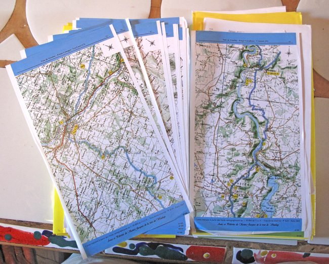
After dinner we retired to the sitting room and looked at a copy of the pilgrimage itinerary, the same document we had seen at Cluis. This time we took the precaution of writing down a list of villages that the route passed through, so we would not repeat the folly of today.
It turned out that the reason for the big eastward swerve of the route was because it was the authentic historical way, used by the earliest pilgrims. The guiding principle of the pilgrimage was to follow the historical route as closely as possible, whereas the GR’s was to avoid roads at all costs.
In our little home on the soft grass, we should have slept soundly, but I did not. Despite our having dug out a hip hole before pitching the tent, we must have aligned it crookedly, so there was a lump instead of a hollow under my hip.
Previous section: Cluis to Bénévent-l’Abbaye