Wednesday, 16 June 2010
Distance 20 km
Duration 3 hours 55 minutes
Ascent 170 m, descent 199 m
Map 56 of the TOP100 blue series (or Map 160 in the new lime-green series)
Topoguide (ref. 6542) Sentier vers Saint-Jacques-de-Compostelle via Vézelay
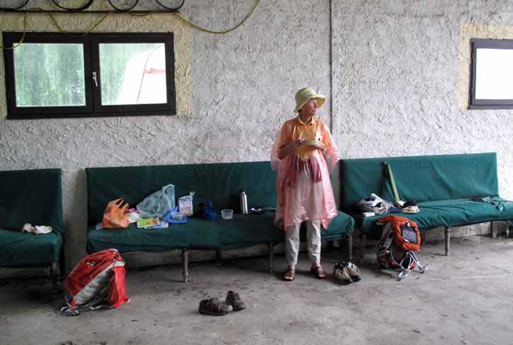
The day did not start well. It was raining when we woke at 6 o’clock and continued to do so until we could wait no longer (7:15).
We scampered over to the machinery shed with armfuls of stuff, then went back for the sodden tent, which we draped over a tractor. The other things had to go on a couple of filthy sofas from which a family of cats had fled when we appeared.
We had not even finished gulping down our muesli when the camping woman backed her car into the shed, so we hurriedly threw our things together and set off for Castelmoron.
On the highway, cars were sending up great plumes of water as they sped along in the thick rain.
To avoid the traffic, she took us by a back route close to the river, which seemed a long way, although it was only four kilometres. Once over the bridge, she turned into a side street where there was a bar, she said.
There was, but it was closed. So was the second one, the one we had visited when we arrived yesterday, and there were no others, so she left us on the kerb with our disorganised possessions and many expressions of sympathy. We were grateful for her kindness but not very happy overall.
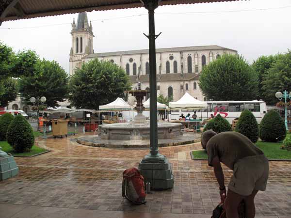
It was market day in Castelmoron, making it even more surprising that neither of the bars was operating. Luckily the halle was nearby and we took shelter there while we finished packing up.
In low spirits, we trudged over the bridge and turned off onto a farm road through saturated fields, our rain capes streaming with water and our shoes squelching.
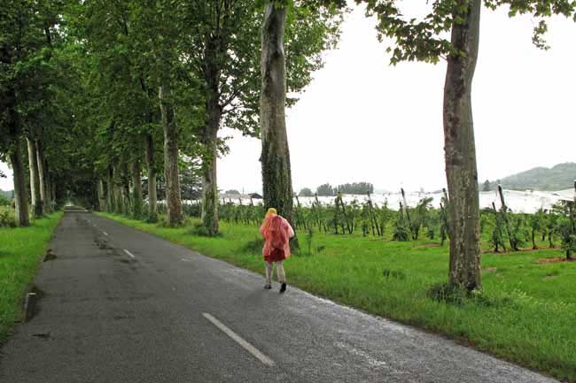
After an age we came out onto the highway for a short distance, then took a right turn towards Granges-sur-Lot. No doubt it was a pretty avenue of trees that we were passing through, but our thoughts were more on why on earth we were doing this to ourselves.
The village was tiny, only a short string of houses on either side of the road, with a boulangerie and a tiny supermarket. It did not bode well for the sorts of comforts we were looking for. Only when we came out of the boulangerie with our bread and pastries did we notice a woman sitting at a table outside the supermarket with a plastic cup in her hand.
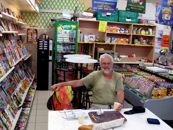
We went in to investigate and found that there was a coffee vending machine and a few tables and chairs jammed in amongst the magazines at the back of the shop.
Taking off our capes carefully to avoid drenching the merchandise, we settled down and the shopkeeper brought us two half-filled plastic cups on a tin tray.
With the pastries, it was one of the most delicious and appreciated second breakfasts we had ever had.
We were much happier when we emerged, and the weather had cleared in sympathy. For half an hour we walked without our capes, until the rain inevitably returned. The road we were on, evidently the former highway, was lined with mature plane trees that met overhead.
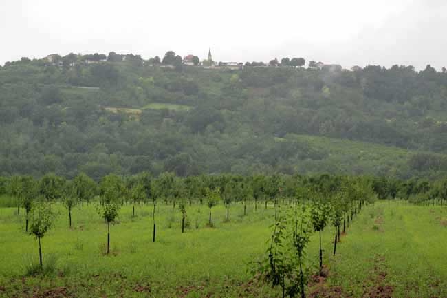
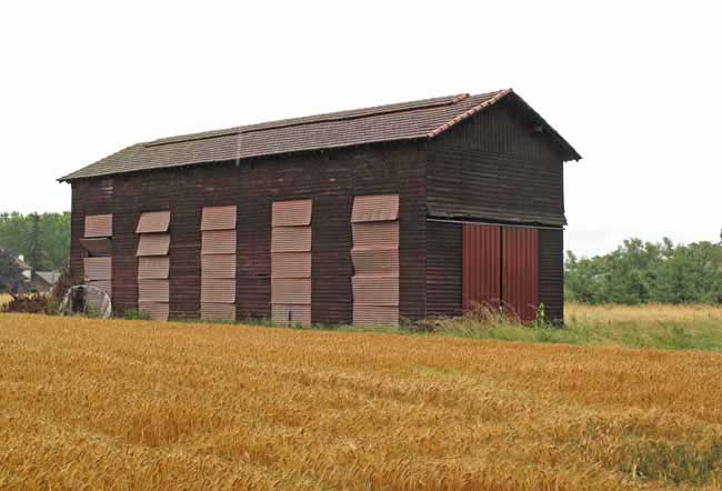
The river flats were planted with orchards of prunes and apples, and there were prune-drying barns with their slatted louvres, by now a familiar sight.
On the high ground beyond the river stood the bastide of Laparade marked by its slim church steeple. The official GR went that way, staying on the north side of the Lot, whereas we had crossed to the left bank, but we were not sorry to have avoided the climb and the muddy tracks.
We crossed the Lot again on a suspension bridge at Roussanes and continued on the same road ( D911) to Clairac, a distance of about five kilometres.
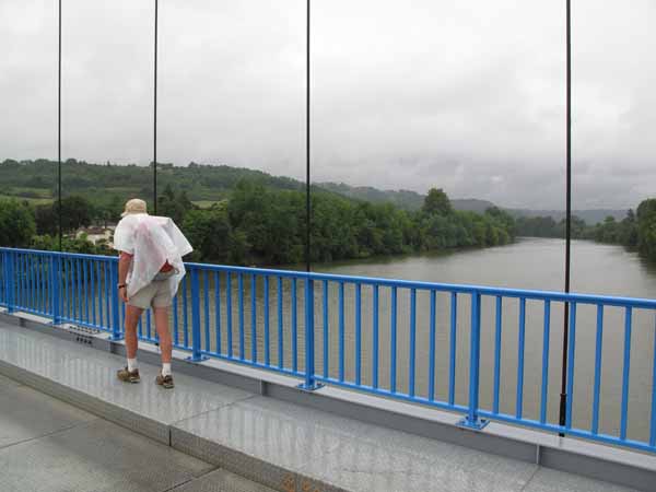
Clairac was not looking its best, but then nor were we, wet and bedraggled. At the first bar we stopped and went in for another round of coffee, and to enjoy the dryness of the interior.
It was probably not wise, but we removed our shoes and socks, revealing white, wrinkled feet like those of drowned sailors, and wrung out our socks discreetly under the table. Putting them back on was the hardest part.
Leaving the town, the GR once again took a tortuous and hilly path, but we stayed on the river road, the D271, all the way to Aiguillon. We passed through quiet, flat fields, misty under the rain, with acres of apple trees swathed in white muslin, and vegetables growing in plastic tunnels.
Only as we approached the final loop of the Lot at the bridge did we join the main road. At this point the Lot had only a mile to run before merging with the Garonne.
Once over the bridge we climbed through grey streets and even up a staircase, to reach the centre of Aiguillon. Although it had stopped raining, the outskirts looked derelict and the centre was not much better. Nevertheless we could see why the place had been such a strategic prize since ancient times.
It was on a high rocky ridge (the name comes from the Latin for “sharp point”), and it commanded the confluence of two big rivers. Several fortresses had been built successively on the ruins of the Roman one, and possession was hotly disputed during the Hundred Years’ War. So much so that in the siege of Aiguillon in 1346, guns were used for the first time in France.
All the shops were shut, not surprisingly since it was 1:30 pm, but so were the bars and cafés. So was the Office of Tourism, where there was a sign saying that they would not reopen until the next day.
According to the Topoguide, there was a camping ground at Aiguillon, but we saw no signs for it and we supposed that it was down on the river flats far below. In any case, the rain was starting again and the prospect did not invite.
We wandered about in a desultory way until we came to a square, where we found a Logis de France hotel that had a room for €54, which we accepted gratefully. It was not quite Logis standard, but we liked its rambling, slightly dilapidated air.
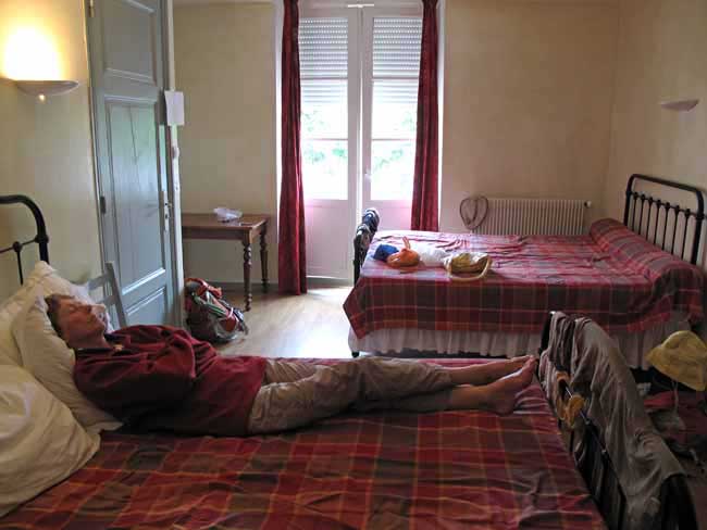
Our room was enormous, with two double beds and a capacious bathroom, which was soon draped in newly washed clothes. We lay on one of the beds in our other set of clothes, dry and clean, eating our picnic lunch (the baguette having survived unsoaked all the way from Granges), then sinking into a comfortable doze.
At about 5 o’clock, the rain stopped briefly and we ventured out in search of a map. We had been using the maps in the Topoguide, but they would only take us to the meeting point with the pilgimage from le Puy, and we wanted to continue to Auch.
The town looked a bit more lively and in a Presse we found just the right map (TOP100, Map 159). Round the corner, a bar had opened. It had a glass-sided extension with a fan-shaped glass roof, a bright, warm place on a rainy afternoon, and no doubt lovely in winter. Surrounded by other refugees from the weather, we sipped our rosé and watched the World Cup on a huge screen.
After the football there was a news bulletin in which we heard about the devastating floods in Provence that had inundated a village and swept away dozens of people. The rain that we were enduring was just the edge of the main disaster.
Having sprinted back through the rain to the haven of the hotel, we examined our new map. It would be a day and a half before we entered its realm, but it had plenty to interest us. We also had a plan to shorten the trip for tomorrow, but it would take us off the map in the Topoguide and would require a degree of faith.
At 8 o’clock we descended to the dining room, where the warm, delicious smell, the chandeliers, the exposed, lamp-lit stone walls, all promised well. A happy babble rose from several tables of meaty young men, perhaps a visiting football team.
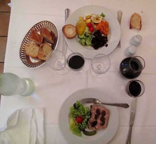
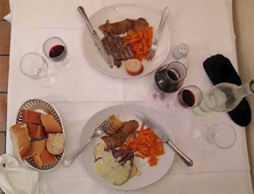
We took the €12 menu, starting with crudities for me and a terrine with prunes – a local speciality – for Keith. For the main course we both had steak with sliced potatoes and carrots, mine with eschallot sauce and Keith’s with Roquefort.
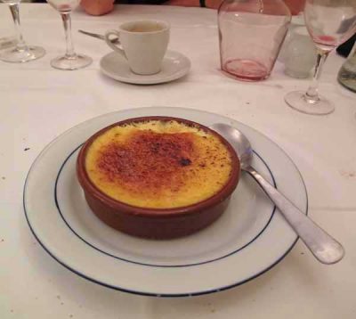
We finished with crème brûlée and coffee respectively, and decided to indulge ourselves further in the morning by having breakfast in the hotel.
Previous section: Bergerac to Castelmoron-sur-Lot