Saturday, 29 May 2010
Distance 24 km
Duration 5 hours 10 minutes
Ascent 221 m, descent 255 m
Map 35 of the TOP100 blue series (or Map 140 in the new lime-green series)
Topoguide (ref. 6542) Sentier vers Saint-Jacques-de-Compostelle via Vézelay
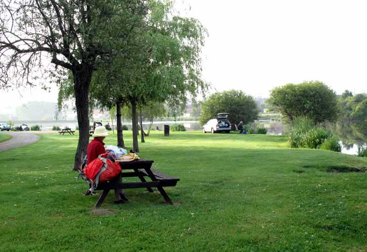
After our dispiriting meal the evening before, we were not as keen on Châteaumeillant as we had been, and had no wish to linger. Nevertheless it was lovely having breakfast on the grassy lake shore in the company of fishermen and ducks.
At 8 o’clock we set off on the track that we had investigated yesterday. It was marked in the Topoguide as going all the way to Néret, but in fact it quickly fizzled out in a morass of sodden nettles and a gate, and we were obliged to turn back past the camping ground and take the little road on the other side of the lake, which led us up through the outskirts of the town to the highway.
This was not busy at first, as most of the traffic used the bypass around the town, but after the roundabout it was a different story.
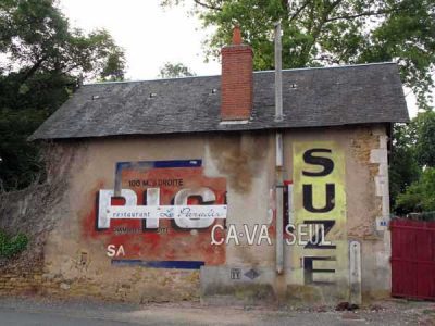
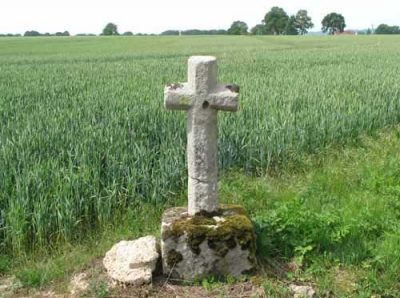
Fortunately we only had a few hundred metres of dodging trucks before we found what we were looking for, a track slipping off diagonally into the fields. This time the Topoguide had got it right and we were able to continue on it all the way to Champillet, past flowering hedges full of birdsong and over a road marked with a wayside cross.
As we went along, I extracted the leaden lump of last night’s pizza from my pack and heaved it over the hedge for some fox or hedgehog to choke on.
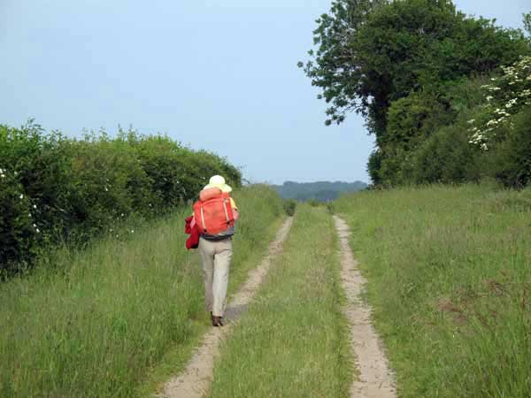
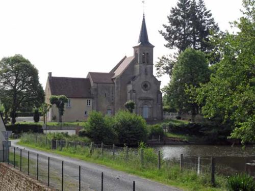
Coming down a small tar road into Champillet, we joined the highway just before the church.
Next door was a large hotel/restaurant/bar, but it became obvious after a moment’s joy that the hotel had not opened its doors for years.
We mastered the familiar disappointment, telling ourselves that we had only been walking for an hour and a half and could survive without coffee a bit longer. Then we saw another bar down the road a short way and lumbered towards it, not permitting ourselves to gloat until we were safely inside, with coffee ordered.
It turned out to be an épicerie and petrol station as well as a bar. While we were waiting for our drinks, the bread delivery arrived and we got a couple of croissants straight from the box. We were now ready to face the rest of the day.
A side lane took us down to connect with the GR, which had been flailing about in great loops since leaving Châteaumeillant, and we soon came to la Motte-Feuilly, consisting of a château, a church and little else.
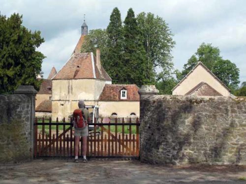
In the early sixteenth century the château was the last refuge of the young Charlotte d’Albret, widow of the notorious Cesare Borgia. Their marriage was a dynastic arrangement and he abandoned her after siring a daughter, the only one of his dozen children who was legitimate.
He died in battle at the age of 31, whereupon she retired to her family home at la Motte-Feuilly, and died a few years later at 34. Her tomb lies in the little church opposite.
George Sand, the celebrated nineteenth-century writer, who was brought up not ten kilometres away at Nohant, used the story of Charlotte in one of her novels.
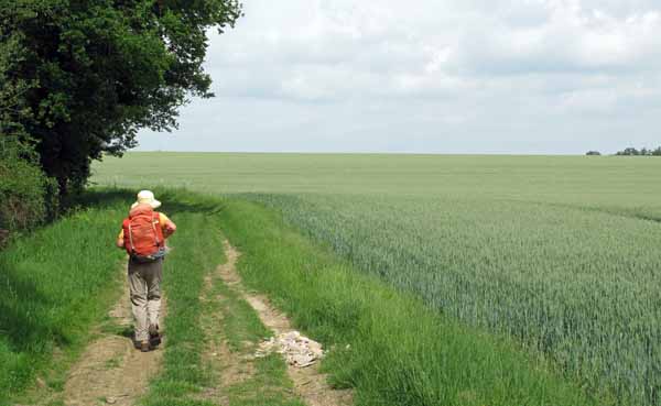
Our brief flirtation with the GR over, we took a small road, probably much travelled by George Sand, and then a brilliant short-cut westward through a wood, to emerge into wheatfields as flat as a sea.
Our immediate destination was the large village of Briantes, which would provide another round of coffee, according to the Topoguide.
Having crossed the D917, we pressed on past les Mousseaux and soon reached the place, but a man pruning his roses informed us that the café had died, along with all the other shops, and that the nearest ones were at la Châtre.
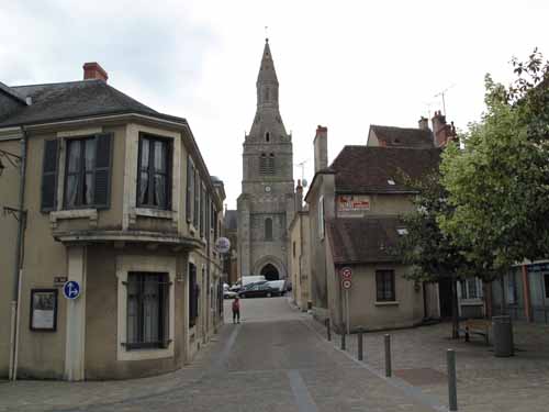
It was only five kilometres further but it seemed more, as we had to walk on the road and we were nursing a grievance against the Topoguide and all the inconsiderate shopkeepers of France who had closed their doors on us. The scaly pinnacle of the church of la Châtre floated high in the distance and only gradually drew near.
We passed the entrance to the camping ground, which was closed, and too far out of town to be of interest anyway.
As we came into the outskirts we guessed, correctly as it turned out, where to turn to enter straight into the lower streets via an old stone bridge.
Here we picked up the GR marks and ascended through steep lanes to the summit, hurrying as fast as our packs would allow. We were worried that we would be too late to get bread, as it was already 12:45 pm.
On the edge of the main square we found a boulangerie where the women were counting the takings but had not quite shut the door, so we did not have to regret the dumping of the pizza.
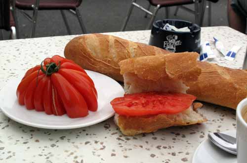
The weekly market was just packing up in the square and we got two bananas and a single tomato, a magnificent fluted orb of the variety known as Franchi. Then it was time for a bar, of which there were several to choose from, all full of market people. We sat out on the cobbles with our coffee and our lunch, watching the deft dismantling of the awnings and stalls.
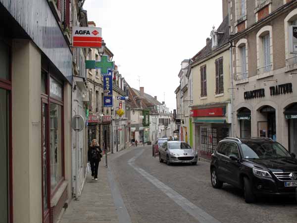
Now that we were not walking we soon started to feel cold. The Office of Tourism, round the corner in the Rue Nationale, did not open till 2 pm, so we ended up huddling in the doorway of a bookshop opposite as it started to rain.
While we were sitting there we were amazed to see the pilgrim with the one-wheeled cart ambling down the street. We had last seen him three days ago, at Charenton, and had forgotten all about him.
In the Office of Tourism, we found out that there was a functioning camping ground and restaurant at Montgivray, half an hour’s walk to the north. We also found out that the nearest internet point was right here, in the Office. The maximum time you could use it was 20 minutes, but the ladies at the desk told us to stay as long as we liked. It was an hour and a half in the end, and they still only charged us €1.
Emerging into the damp streets, now almost empty, we descended the Rue Nationale, crossed the railway line and rejoined the GR for the last two kilometres to Montgivray, on a tiny road that went along the river flats of the Indre.
A local lad was walking on the same road and kept breaking into a run, not prepared to let a couple of old people with packs on their backs leave him behind. We took this as a compliment.
After a while he turned off, to everyone’s relief.
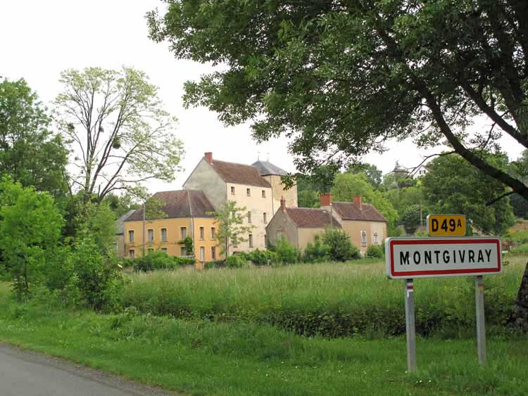
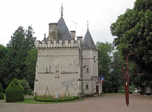
It was a beautiful walk and the village was a little gem. On the square there was a fine church with a porch, a bar/restaurant and a miniature château, once the home of George Sand’s daughter Solange.
We checked that the restaurant would be open in the evening – yes, said the young woman in her Swiss maid outfit, but she would be by herself, so we should come at 7 pm (absurdly early for France). There was a four-course menu for €11.50.
Behind the château was the camping ground, the Solange Sand, as pretty as the village, with spreading trees, close-cut grass and gravel drives. The only customers were a big caravan at one end and a small tent at the other, and there was no sign of people. Even the office was deserted.
We helped ourselves to showers, which were neither hot nor cold, then put up our tent and settled down for an afternoon nap on the grass.
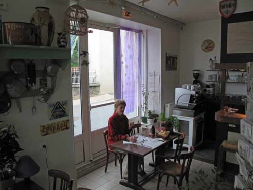
When we rose to go to the village, the occupant of the small tent had emerged and was cooking something on a spirit stove.
He was a craggy cyclist-pilgrim from Holland, with an excellent command of English.
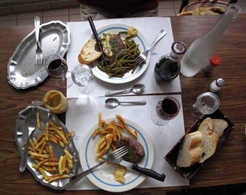
At the restaurant, there were two tables laid. The Swiss maid brought glasses of rosé as apéritif, then we had a plate each of charcuterie and crudités, followed by steak with green beans and chips, then a platter of cheese and finally icecream in three flavours. It was a simple, but fresh and well-cooked meal.
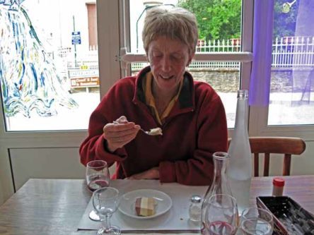
As we were leaving at 8:30, the other table received its guests, so madame had judged it well.
Back at the camping ground, we noticed that the office was inhabited, so we managed to pay (€7). It was a municipal camping ground and we hate to deprive them of revenue, as they are usually subsidised to provide the service.
Previous day: Loye-sur-Arnon to Châteaumeillant