Monday, 24 June 2013
Distance 35 km
Duration 7 hours 40 minutes
Ascent 598 m, descent 711 m
Map 156 of the TOP100 lime-green series
Topoguide (Ref 7000) Le chemin de Régordane
Our normal practice when staying in hotels is to leave early, before breakfast, to avoid the worst of the day’s heat, but on this occasion there was no danger of over-heating, and we had arranged with our host to have breakfast at 7 am, as soon as the croissants arrived.
From our window we could see clouds hurrying overhead and the wind combing the grassy slopes. Opening the window a chink, I quickly closed it again and put on my warmest clothes – long trousers and a fleecy top. However, Keith decided that shorts and a T-shirt would be enough
The restaurant was cavernous and rather bare, with rows of tables like an empty school room. There was a piano at one end and a bar at the other, and it was possible to imagine scenes of conviviality here, especially with the windows tightly sealed against the icy midsummer morning.
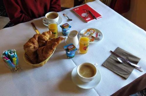
We had the whole place to ourselves and consumed a splendid breakfast of yoghurt, orange juice, coffee and two croissants each, with butter and jam. Later the bread arrived and our host brought us a sliced baguette, together with another round of coffee.
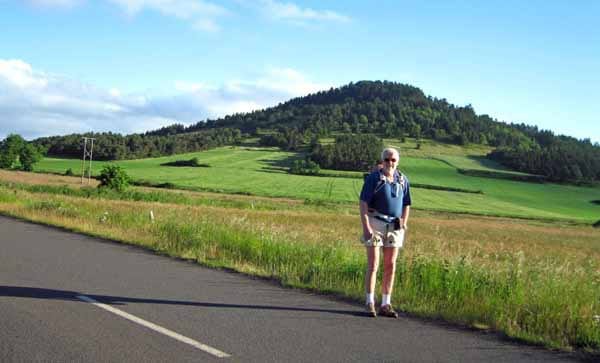
It was only when we stepped outside that we fully realised how cold it was, and we practically ran along the small road that turned off beside the hotel in the direction of the GR.
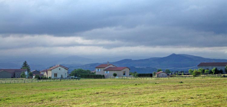
We passed the wooded cone of the Suc de Miceselle and saw the houses of Concis across the fields, with the blue peaks of the Cévennes behind.
Although we were in sunshine, there were rainstorms moving through the mountains in our direction, and we made sure our rain capes were handy. Keith put on his warm top.
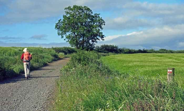
Before long we came to a red and white GR marker and turned off the road onto a field path bordered by flowers, which became a gravel road and climbed over the shoulder of a hill.
On the downward slope was the pretty village of Aunac, a collection of sturdy houses made of the dark stone of the region.
Below it was a deep cutting where once the railway line from le Puy to Langogne had passed. Like many such lines, it had been short-lived (from 1912 to 1981) and had recently been reborn as a cycle path.
We had just started descending from the village when Keith was smitten with an attack of the runs and had to dash down into the bushes bordering the cycle path, while I crossed the railway bridge and waited.
It was so cold that I had to march up and down the steep road to keep my circulation going.
Even Keith felt it – while attending to the imperatives of nature, he took the opportunity to change into long pants.
After an age he emerged. These attacks happen sporadically while we are in France, probably because of some unfamiliar organism in the water, but they never last long.
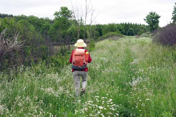
We continued down to the stream and up the road to Tourtinhac, which was even smaller than Aunac. Here the GR took to the fields again, with several twists and turns, but the signage was clear and we never felt lost.
At the entry to Chaderac we decided to take a short cut into Costaros to avoid an unnecessary climb. Turning right onto a small road, we found that it was not the one we had intended, as it led straight out onto the highway. However before we got that far we came to the old railway line again.
In the direction away from Costaros it was smoothly tarred and adorned with informative panels about the Piste Verte, but the improvements had not extended the other way, where the track was covered with a sea of flowering weeds. Nevertheless we set off to follow it.
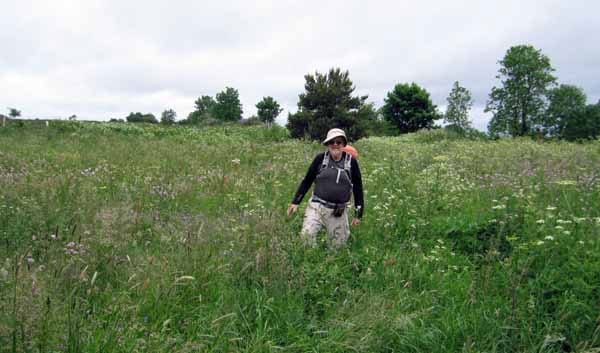
At first it was easy enough, but then the weeds got thicker, we lost the alignment of the track and ended up floundering about in a rough field, waist-deep in flowers, grasses and nettles. There was a barbed-wire fence buried amongst it all and Keith stumbled over it and tore his trousers.
Eventually we struggled out, scratched and dishevelled, onto bare ground, just at the entry to Costaros. Here we joined the main road and the first thing we saw was the cycle path stretching away on the other side of the road, once more an annoyingly neat strip of bitumen.
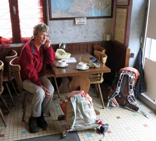
The GR came in from the left, having climbed up and down a hill, and we followed it down the main street of the town. When we came to a bar we went in, although it looked rather drab.
Long experience had taught us never to walk past a bar in search of a better one (there often is no other), but in this case we were wrong – there were plenty of pleasanter bars towards the centre of Costaros, as we discovered when we set off again. This one had grimy windows, a cigarette smell and one elderly drinker at the counter. The coffee was reviving, all the same.
Further down the street we came to the market square, and indeed the market itself. The stallholders were shivering in the wind and the surrounding cafés were full.
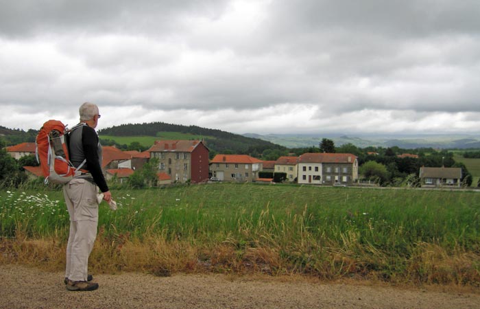
We followed the GR signs out of the square until we came to the former railway line/cycle path, which had been pressed into service as a road for the short section between Costaros and Bargettes. Here we parted company with the GR again.
This was because in 2004, on the Robert Louis Stevenson walk, we had taken a short cut to Landos, on a path that had now become the official route of the Régordane.
We did not want to repeat our steps, so we had worked out a route of our own, with the help of detailed maps from the Géoportail website (see our section on Maps and Guides).
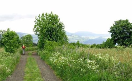
Having arrived at Bargettes, we crossed the highway by an underpass, climbed through the houses and set off on the small road to Ussel. The GR40 branched off towards Fourches but we ignored it and pressed on over the windswept fields.
After a while we came to the D491 and crossed over onto a wide track that continued across the freezing uplands to the hamlet of Cros Pouget.
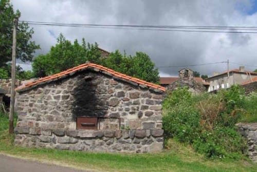
This consisted of a few houses, a communal oven blackened by smoke, a well and a little stone church with a single bell, all perched above a tree-lined stream.
Before the road plunged down towards the bridge, we turned right and followed the tiny river road until it looped down, crossed the water meadows where cows stood in emerald bliss, and rose to les Souils.
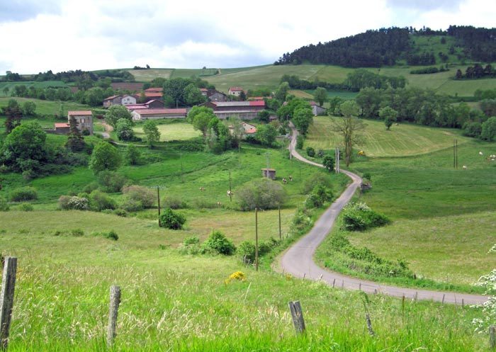
Like all these little settlements, les Souils had an air of such profound remoteness that it was a surprise to see cars there, even though we knew that it was only a few minutes drive from the busy highway. In earlier times it must have been really isolated.
Continuing up the slope on a wheel track that was steep enough to make us forget the cold for a moment, and even take off our fleecy tops, we arrived in an airy landscape of grass interspersed with outcrops of rock.
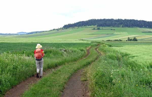
We descended slightly to a T-junction, took the track to the left and soon found ourselves on a road which snaked down steeply to river level, leading to Barges Haut. The village was a cluster of tall, dark-walled, red-roofed houses, with the communal oven almost on the bridge.
Our idea had been to keep going down the road to Barges Bas, because we knew there was a café there, but meanwhile we had noticed a track rising directly to the bulky eminence of the Mont de Tartas, with its cap of dark pines.
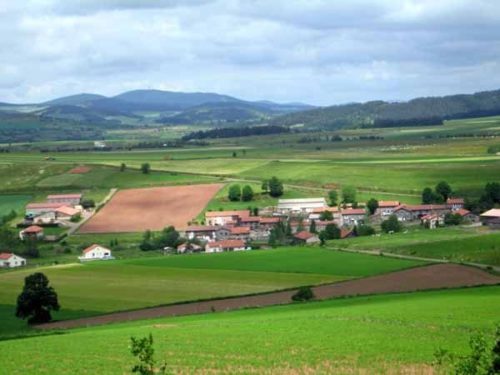
Taking this would save a good deal of extra walking, not to mention loss of height, and we still felt sufficiently caffeinated to do without the bar. We told ourselves that it would probably be closed on a Monday, anyway.
It was a stiff climb into the trees but after that we circled around the summit and eventually came out into the open on the downward slope into St-Paul-de-Tartas.
The main feature of this village was the grand slab-like bell wall of the church, and the war memorial in front of it, with its startlingly blue soldier.
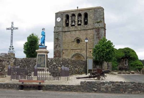
By now it was after one o’clock and although we did not feel hungry, we were keen to get to Pradelles, our possible stopping place. It was the cold that drove us on.
Without even investigating the bar in St-Paul, we set off along a small winding road to the south, climbing gently past a forested knoll, then crossing a wide grassy valley.
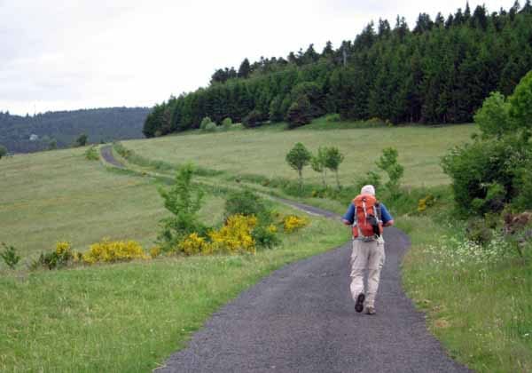
This valley was criss-crossed with tracks, but our home-made Geoportail map kept us out of trouble and after an hour we came out onto the main road (the N102) just next to a derelict restaurant, where former diners would have had a glorious view down to the lake of Naussac.
The main road down to Pradelles was to our right but fortunately there was also a foot track, steep and eroded but direct, that took us into the back streets of the town.
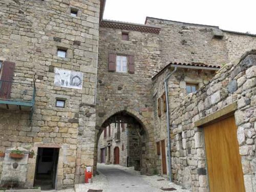
Pradelles is a Plus Beau Village with many cobbled lanes encircled by ramparts. The wind fairly whipped along these lanes as we hurried down to the square in search of a bar. A thermometer outside a house read 11ºC.
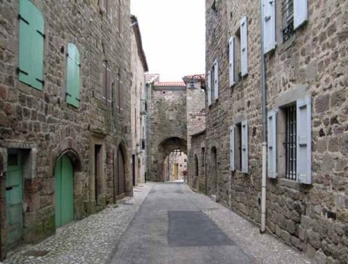
There was only one bar open, the same one we had visited on our previous walk. It was also a walkers’ gîte and was full of hearty-looking groups with packs and poles.
We had coffee as far away as possible from the swing door that was letting in great icy draughts every time someone entered. While we were there, we also had a surreptitious bite of bread and cheese.
We already knew that the camping ground at Pradelles was not yet open for the season (it opened on the first of July) and we did not feel like a night in thef gîte, so we decided to press on the extra five or six kilometres to Langogne where we were sure the camping would be open.
We were not sorry to be leaving Pradelles, whose prettiness was accompanied by a certain sterility.
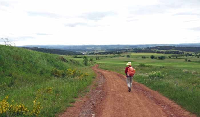
Now that we were once again on the Régordane, and also on the Robert Louis Stevenson track, there were other people walking with us, the first that we had seen this year. The RLS walk had become very popular since we did it in 2004.
The red dirt road swung down easily through the fields and the GR signs made map-reading unnecessary.
At the entrance to Langogne we rejoined the N88 to cross the Allier, and then continued along the highway while the GR turned off.
The first time that we had come here we had thrashed about for an hour trying to find the camping ground, as a consequence of which we now went straight to it.
The trick is to do two left turns in succession to get over the river Langouyrou, the tributary on which Langogne sits, then go under the railway line and keep walking for almost a kilometre without giving up hope.
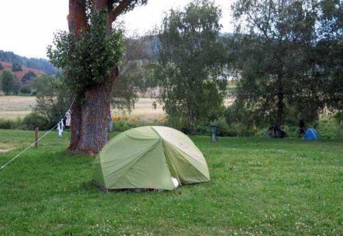
Despite our confidence, it was good to see the camping ground gates open, the flags flying and the grass dotted with caravans and tents. The place had been spruced up since we were last there, with a new shower block, a pool, a snack bar and a lot of flowers.
We booked in (€9.70) and put up our tent on the grassy bank of the Allier. There was no sign of any of the other walkers, who evidently were not campers. Keith had a shower which he said was delightfully hot, but the wind was so cold and cutting that I could not face the thought of undressing.
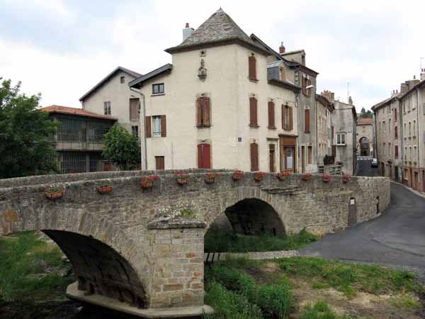
We set off for town, bent over against the freezing wind, and took a short cut under the railway line just opposite the camping ground, through the back streets and down to the river, where we crossed the original stone footbridge, le Vieux Pont, and arrived in the centre of town.
The wind funnelled along the main street, which had a desolate air at this hour of the evening. We found that the restaurant where we had eaten last time was defunct and the Logis de France hotel was closed on Mondays. We walked up and down in a vain search for another one.
In desperation we went into a dreary bar offering a choice of pizza or hamburger and asked whether there was a restaurant open anywhere in the town.
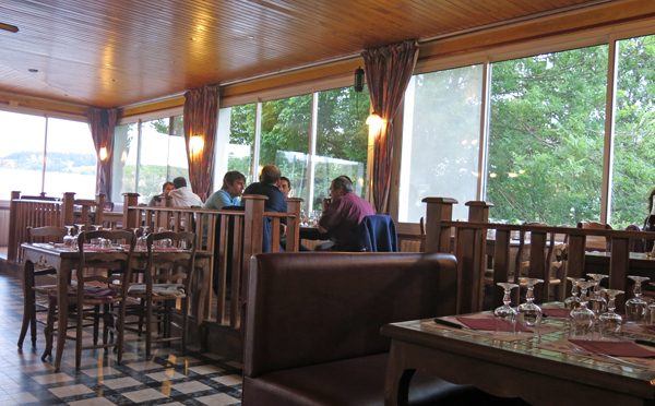
The woman mentioned the Hotel Gaillard, which we had walked past when we first arrived, just after crossing the Allier. It had looked very run-down, I remembered. However we had run out of ideas so we went there and were shown into a room at the back of the old building.
To our amazement it was a large, elegant, warm, glass-enclosed space looking out onto the trees of the riverbank. It was already half-full of diners and we could hardly believe our luck in finding it.
The pleasure and relief of our new situation would have made us grateful for any meal, but it was actually a very good one. We had the Menu de Stevenson for €18.
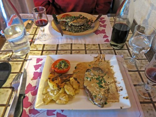
Our first course was a substantial plate of charcuterie with bread and butter. We had hardly eaten since breakfast so this slipped down rapidly, with the help of a carafe of red wine.
Then Keith had steak with Roquefort sauce while I had confit de canard, although we were not really in duck heartland yet. To finish Keith had a home-made fruit tart and I had a cheese platter.
Walking back the kilometre or so to our tent, we were impervious to the cold after the warmth and conviviality of this lovely restaurant.
Previous day: Le Puy-en-Velay to Bizac