Tuesday, 27 May 2003
Distance 18 km
Duration 4 hours 0 minutes
Ascent 297 m, descent 292 m
Map 48 of the TOP100 blue series (now superseded)
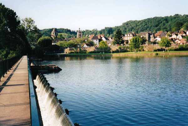
What with sleeping in and all Penny’s foot preparation (padded tubes for each toe, gelatinous pads for heels and spray for everywhere else), we did not leave till 8:30, but we expected a short day and it turned out even shorter.
We crossed the Dordogne on a footbridge and immediately lost the GR signs. That was because the GR turns left upstream and we were going downstream.
A small road delivered us, after a long walk, to the roadbridge at Altillac, a point we had reached the evening before in a few minutes.
Here we met the GR480 heading for the hills, but decided not to follow it.
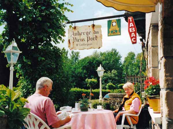
Instead we continued along the noisy main road for a couple of kilometres, past car-yards and factories, then turned up the side road to the hamlet of Guilles. This was much better walking, shady and quiet, with hardly any traffic. At the top of a long ascent, we rested on the verge beside a house. An old woman stuck her head out so we thanked her for the use of her grass.
A period of descent among pines brought us to the railway line and the road beside the river Cère, a tributary of the Dordogne. A little further down, our eyes were gladdened by the sight of an old riverside pub at Port-de Gagnac.
We settled on the terrace, in sight of the smooth river, and ordered a round of coffees, which were all the more enjoyable for being unexpected.
As is our habit, we took our boots off, but Penny could not remove her socks, as they were holding her various blister remedies in place.
Port-de-Gagnac was formerly important in the transportation of timber by river from the Auvergne to the wine-growing regions of the Dordogne, where it was used to make barrels.
To avoid the huge taxes imposed on river traffic by the dukes of Castelnau, the timber was off-loaded at Port-de-Gagnac and taken the rest of the way by cart. We had already glimpsed the heavy fortress of Castelnau in the distance.
With new vigour, we crossed the bridge to the village of Gagnac itself, a rather engagingly haphazard collection of stone houses, yet to be discovered by tourism and probably all the better for that. We did not see a bar but then we did not need one.
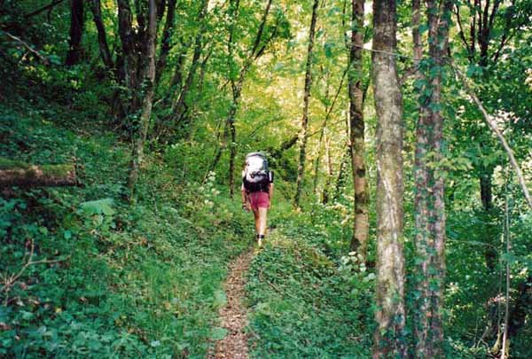
As there was no official GR, we made our own way towards Bretenoux on a damp path along the river bank, which was steep and thickly wooded.
Just as we were congratulating ourselves on this piece of navigation, the path ceased, or rather we came to a sign saying it was closed. Erring on the side of safety, we turned uphill and joined a small road, which meandered through agricultural land (young vines and walnuts) in surprisingly hot sun, for a surprisingly long way. We were sorry we had not stuck to the riverside path.
At length the town appeared, hugging the river, with the camping ground conveniently just over the bridge.
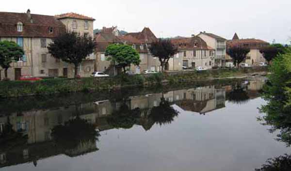
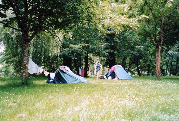
We went in and set up our tents beside the water, on a bed of daisies.
After a picnic lunch we tried the showers, which were an improvement on the ones at Beaulieu – they were only tepid half the time, interspersed with hot surges. Then we lay down on the daisies in our clean clothes and slept.
Later we explored the village. It is a bastide town, set up in 1277 by the lords of Castelnau, with a strict geometrical layout. Two sides of the square are still arcaded and there is an imposing gateway on the river side.
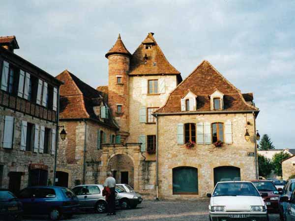
Some of the radiating streets are almost too narrow to walk through, but they served as fire-breaks and sewers – ordure from the houses flowed through a pipe in the wall and fell into the lane. This practice seems to have been discontinued.
We dined that evening in the square, with a beautiful view of the arcades through the window. It was still too cold to eat outdoors.
After we had consumed our grillades and salad with customary enthusiasm, the owner endeared herself by bringing complimentary plates of apple tart. She had found out that we were walkers and probably felt sorry for us.