Monday, 11 July 2005
Distance 27 km
Duration 5 hours 30 minutes
Ascent 713 m, descent 619 m
Map 48 of the TOP100 blue series (now superseded)
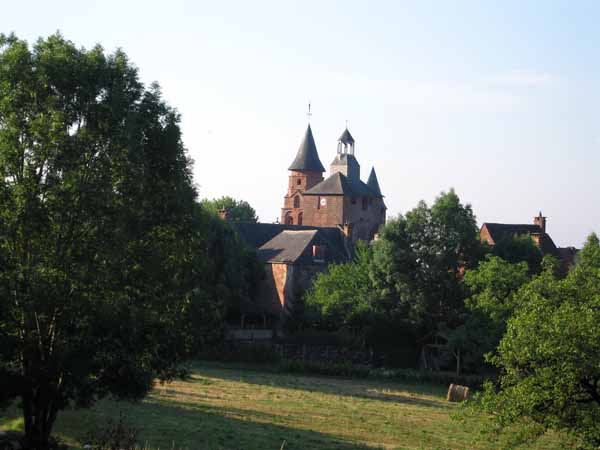
After the painful heat of yesterday afternoon, we tried to get up early, and managed to be in the village by 8 o’clock. The GR signs were sparse and we had to guess the way out of town to the saddle, correctly, as it turned out – along the Route des Lavoirs.
The path was newly mown and a pleasure to walk on, unlike last time when it was so wet and weedy that we had preferred the road.
Most of the GR to Turenne was a well-made stone pathway with embankments and culverts, the remains of the medieval highway between Turenne and its administrative centre at Collonges. With its fine shady trees it was a delightful route, although constantly rising and falling like a ship at sea.
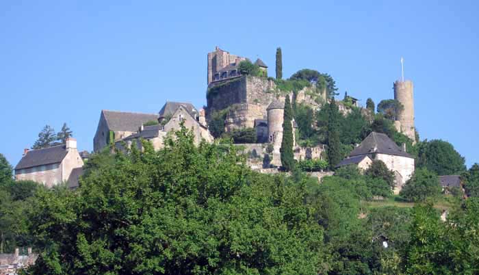
Once under the railway line, we still had a long stony scramble to get to the lower streets of Turenne.
We had no intention of dragging ourselves up to the top, as we had done two years earlier. There was a little crêperie in the square below the church, open but empty of customers at 10 in the morning.
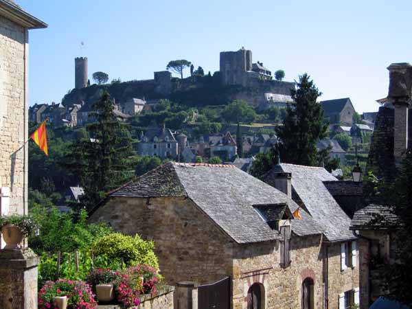
The man had to switch on his coffee machine and let it heat up before he could serve us, but we did not mind, as we were in need of a rest. He produced a newspaper for us to read while we waited.
It was much prettier there than down on the highway where most of the bars were. The highway has swallowed the old market square of Turenne.
On the other side of the highway, we changed from the GR480 to the GR46, not that it made any difference.
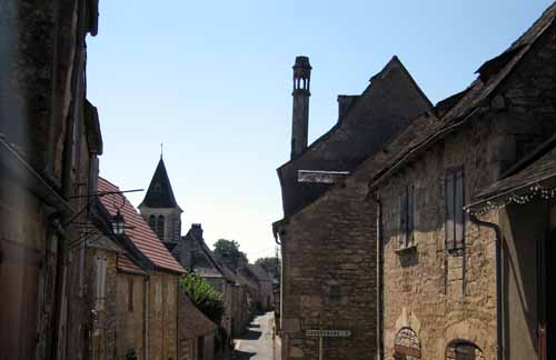
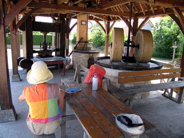
We continued along it with only one short-cut (on the D150E3) until we came to Hôpital-Saint-Jean, which is distinguished by its rooftop lanterns, put there to guide benighted pilgrims to safety, and by the old oil-press at the edge of town.
The oil-press no longer works but it is fascinating, and we had our stale picnic lunch there, the baker being closed on Mondays.
The rest of the way was a mixture of farms and woods, a lot of it quite undulating.
With only three kilometres to go we came to a heartbreakingly steep hill and sat down for a long rest, which had a miraculous effect and we covered the rest of the distance with ease.
The first thing we came to was the tiny municipal camping ground, only one block away from the centre of Martel. It makes up in position for what it lacks in amenities, i.e. everything except a shower block. It does have grass and trees though, and that is plenty for us.
When preparing for my shower, I realised that I could not find my clean clothes, so I had to be brave and put on wet, newly washed ones. That is one of the hazards of only having two sets of clothes (another one is boredom). I later found the lost ones tucked in with the muesli bowls.
We strolled into town in our sandals and had a celebratory coffee before hunting down the Office of Tourism under one of the towers.
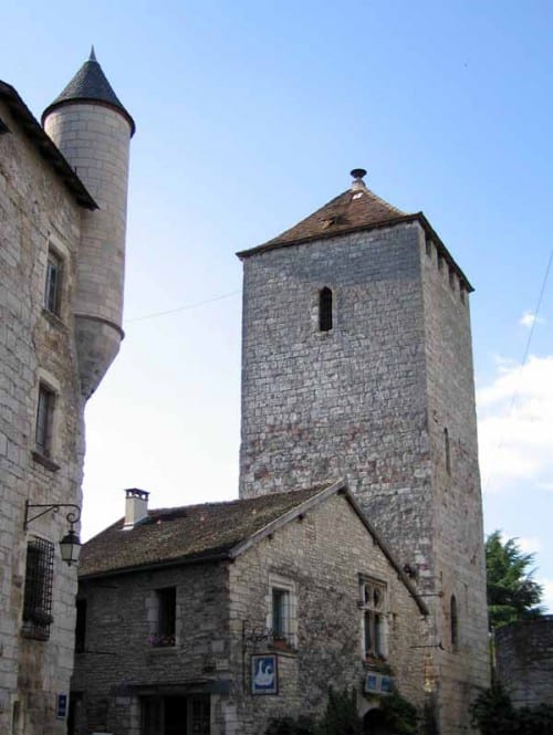
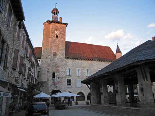
Martel is famous for its seven towers and we got a plan of the village with all seven marked, so we went round systematically to each. The other impressive things were the church, impossible to photograph because of its immense size, and the halle.
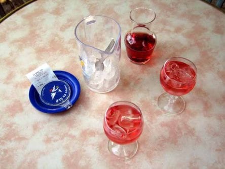
For apéritifs we went to a bar in the main street and had a small jug of rosé, which came with a second jug of ice cubes.
Then we went round the corner to a hotel and sat in a garden for dinner. For €10 each we had a fine meal.
The entrée was an array of crudities and the main course was cassoulet (we are in cassoulet country). Then came cheese and a gateau aux noix, warm and rich.