Tuesday, 12 July 2005
Distance 21 km
Duration 4 hours 20 minutes
Ascent 368 m, descent 345 m
Map 48 of the TOP100 blue series (now superseded)
We knew the bar opened at 7 am and we were there at two minutes past. The only difficulty was that both the nearby boulangeries were shut. I ran down to the one at the bottom of the street and peered in but it was no more animated.
Just as I turned away, a man emerged from the side door and beckoned me back. He limped around, opened the shop and sold me a baguette, a croissant and a pain aux raisins, all still hot. This made for a happy start to the day. We waved to the limping baker when he drove up later to deliver to the bar and the supermarket.
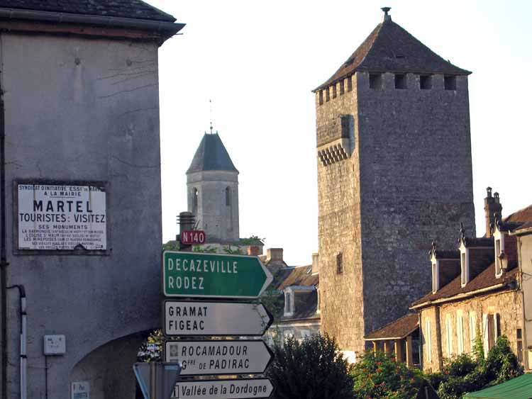
The first part of the walk was on a gravel road going gently downhill, requiring no effort at all.
Presently we merged with the road from Creysse that we had come down in the rain a few days earlier, and were soon at the big bridge of Gluges.
This time, after crossing the water, we took the GR upstream over cultivated river flats. Then the track began to climb and we had to bring some muscles into action.
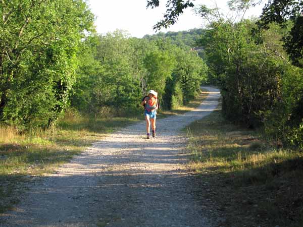
Before long we rejoined the road at the village of Montvalent, high up on the edge of the escarpment, with a fine tower.
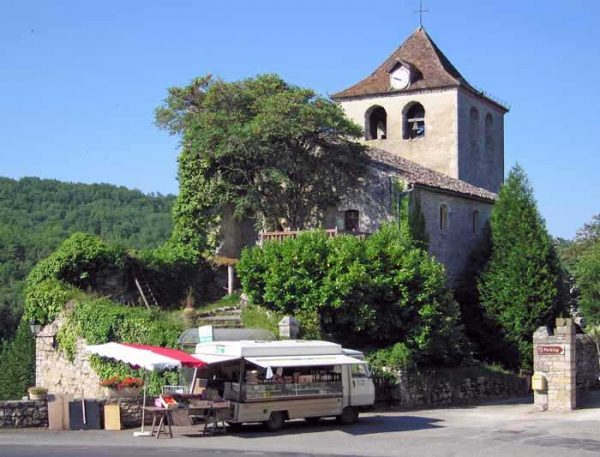
There was a bar, but it was shut, so we sat on a seat outside it and had a snack. The only other living being was a travelling grocer in his van, parked across the square. I went over and bought a tomato and two peaches, just to give him something to do.
The GR continued climbing through the steep streets of the town, where half the houses were falling down and the other half expensively restored, until we came to the junction with the GR652 that we had walked on last time.
After crossing the road, we pressed on across the causse, following a series of dusty tracks and small roads. It was an uncharacteristically arid landscape for France, mostly bare of trees and not even cultivated.
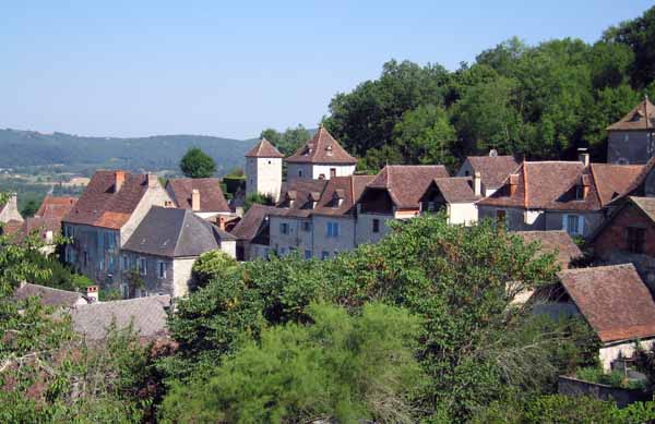
The massed bars of l’Hospitalet were a welcome sight, although we were not on our last legs as we had been when we arrived two years ago.
For old times’ sake we had coffee at the wonderful bar that had saved our lives last time. I took off my shoes and by the time we left I had forgotten them (having changed to sandals), so the waitress had to run after us. We seem to be pursued by waitresses quite often.
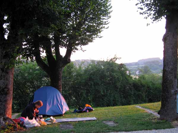
The camping ground, just behind the row of bars, looked dry and prickly but we found a fairly green spot for our tent, then had lunch and an afternoon nap. It was too hot to do much else.
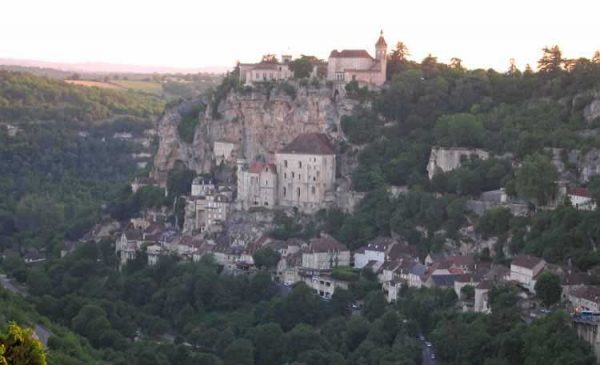
At the palatial Maison de Tourisme, we found out that the only internet point was in one of the hotels in Rocamadour proper, down the hill. It sounded a bad idea compared to retiring to a shady brasserie for icecreams.
The eateries in l’Hospitalet, while numerous, were not very impressive, but we had a reasonable meal of omelette and pasta.
Before retiring we went to admire the evening shadows on the holy stones of Rocamadour, clinging to the cliff face below us.
The original sanctuary was reputed to have been founded by Saint Amadour in the early centuries of Christainity, although the legend is vague and confused. The saint is credited with the carving of the Black Madonna, which is still an object of great veneration in the church.
Leaving Rocamadour
There is a railway station 3 km north-east of l’Hospitalet. From there you can go to almost anywhere in France.
Alternatively, if you feel inclined to close the loop, you can walk back to Souillac. It only takes a day and we did it in 2014.
Previous day: Collonges-la-Rouge to Martel
Go to a similar walk of this circuit in the opposite directiony