
France is a paradise for walkers, with a vast network of walking tracks, marked with distinctive colours and symbols.
Long-distance tracks across France are called Grandes Randonnées (GRs), whereas tracks that loop around through a particular area are called Grandes Randonnées du Pays (GRPs), and shorter day walks are called Promenades et Randonnées (PRs).
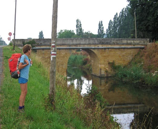
Different colours are used for these three types of walks – red and white for GRs, red and yellow for GRPs and yellow for PRs – and there are three symbols: “straight-ahead”, “turn” and “go back – you missed the turn!”. Various other colours are used for local walks.

A good website for general information about most GRs and GRPs is GR-Infos.
The map below is very useful when choosing a walk, as it shows all the GRs and GRPs. When we discovered this map (which we have greatly modified to make it more walker-friendly), it was a revelation, and we wished that such a map had existed in 2002 when we first started walking in France.
It can be slow to load but definitely worth the wait.
Click the box at the top right of the map to go to full-screen mode and to see the list of all the walks.