A six-day walk in high Provence from Saint-André-les-Alpes to Gréoux-les-Bains, following the GR4 (except for the first day), through fields of lavender and Roman ruins.
This was part of a longer walk that we did in 2002.
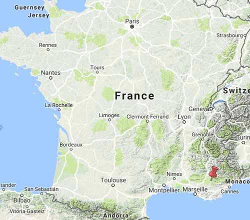
Getting to Saint-André-les-Alpes
From Paris, we took the TGV from the Gare de Lyon to Nice, a journey of six hours.
After two hours we were at Avignon and the rest of the time was spent getting through Marseille and crawling along the cliffs of the spectacular Cote d’Azur.
In Nice it was necessary to change to another station a few streets away, to catch the narrow-gauge local train known as la Pigne (the pine-cone), which is not part of the normal French railway system, the SNCF. This is a link to more information about la Pigne.

Whilst waiting at the station café, sheltered from the torrential rain, we were presented with a long-stemmed red rose by a socialist candidate for the parliamentary elections next week, the dear man.
La Pigne was a little rail-car, packed with commuters, which laboured up the valley of the Var, shedding passengers at every stop.
Almost three hours later we crossed into the valley of the Verdon through a tunnel and were soon deposited at Saint-André-les-Alpes (the train goes on to Digne-les-Bains).
The town has a couple of restaurants and the camping ground is not far along the road, so we had a pleasant evening.
Day 1: Saint-André-les-Alpes to Castellane
Day 2: Castellane to Rougon
Day 3: Rougon to la Palud-sur-Verdon
Day 4: La Palud-sur-Verdon to Moustiers-Sainte-Marie
Day 5: Moustiers-Sainte-Marie to Riez
Day 6: Riez to Gréoux-les-Bains
This map shows accommodation icons for each night. Zoom in on a particular icon to see its precise location.
You can also see this map using Google Earth and take a virtual flight along our route.