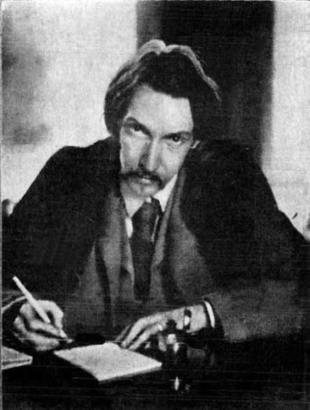
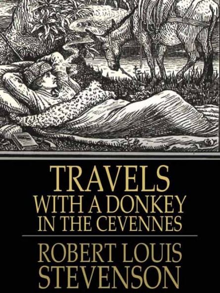
Robert Louis Stevenson, the consumptive young Scottish writer who later became famous for “Treasure Island” and “Kidnapped”, walked through the Cévennes with his donkey Modestine in the autumn of 1878.

He chose this mountainous, backward area because it was almost the only part of France where protestantism still prevailed after the Wars of Religion and the purges of the seventeenth century.
To Stevenson these so-called Camisards were the French equivalent of the persecuted Covenanters of his own country. The book he wrote describing this expedition, “Travels with a Donkey in the Cévennes”, made him well-known for the first time.
His trip began from le Monastier, but the modern track named after him starts at le Puy, half a day’s walk away.
Although he was a sociable soul, he preferred to walk alone, because “you must have your own pace, and neither trot alongside a champion walker, nor mince in time with a girl”, and in order to “surrender himself to that fine intoxication that comes from much motion in the open air, that begins in a sort of dazzle and sluggishness in the brain, and ends in a peace that passes comprehension”.

It is possible to reconstruct most of his route from what he wrote in “Travels with a Donkey in the Cévennes”, and this is now the Robert Louis Stevenson Track (GR70). However, while we kept fairly close to his footsteps, we decided to take some liberties. We reasoned that RLS would have taken the line of least resistance at the time, and so we sometimes followed small roads which did not exist in his time.
On our 2004 walk we started in le Puy-en-Velay and got as far as Florac, then diverged. In 2007, as part of a much longer expedition, we completed the remainder of his walk in the contrary direction, from Saint-Jean-du-Gard to Florac.
An accommodation guide many people use is the strangely named “Miam-miam Dodo” (French baby talk for Eat-Sleep), which lists all the eating and sleeping possibilities along this walk.
The account that follows is in two parts:
- The first two sections cover our 2003 walk, a six day journey from le Puy-en-Velay through the Cévennes to Florac.
- The third section covers our 2007 walk, a two day journey from Saint-Jean-du-Gard back to Florac.
These three sections are:
Le Puy-en-Velay to la Bastide-Puylaurent
La Bastide-Puylaurent to Florac
To see icons for each night’s accommodation on this map, press the full-screen symbol at the top right and then tick the accommodation icon box at the top left. Zoom in on a particular icon to see its precise location. These accommodation icons are also shown on all section maps.
You can also see this map using Google Earth and take a virtual flight along our route.