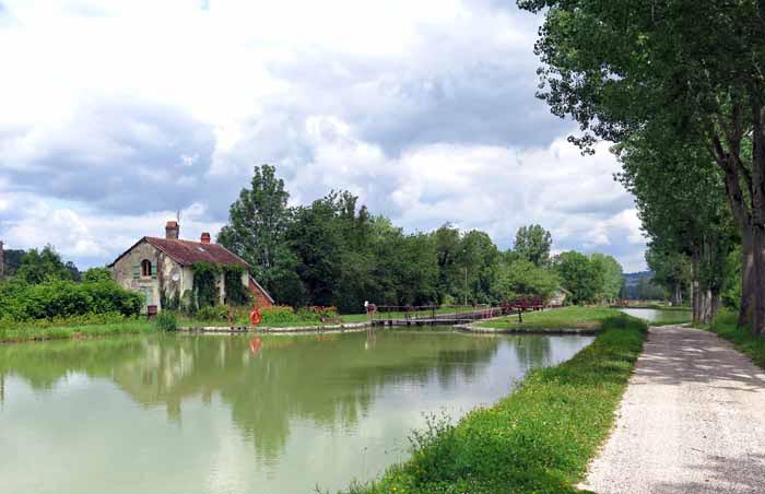
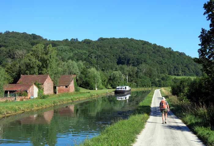
The Canal of Burgundy (Canal de Bourgogne) goes from the Saône river in the south to the Yonne in the north.
The Saône joins the Rhône, which goes to the Mediterranean, while the Yonne flows into the Seine and then into the Atlantic Ocean, so the canal forms a navigable link between the Mediterranean and the Atlantic. Not that it is used as such now – the only boats that go along it are pleasure craft.
Work began on the excavations in 1777, after much debate about the route. Then there was a pause of ten or fifteen years while people were otherwise occupied with the Revolution, and it was finally opened in 1832. Ironically, just a few years after that the railways arrived and put the bargemen out of business.
Nevertheless, the canal remains a national treasure, much used by cyclists, walkers and pleasure boats. We certainly appreciated its beauty as we wound our way through the green countryside under a canopy of trees.
We spent eleven days walking the length of the canal from
Naturally it was very easy walking and on the whole there were plenty of bars, camping grounds and restaurants along the way, although occasionally we had to leave the canal in search of accommodation.
The account of this walk has been broken up into four sections:
St-Jean-de-Losne to Pont d’Ouche
Pont d’Ouche to Venarey-les-Laumes
Venarey-les-Laumes to Tonnerre
To see icons for each night’s accommodation on this map, press the full-screen symbol at the top right and then tick the accommodation icon box at the top left. Zoom in on a particular icon to see its precise location. These accommodation icons are also shown on all section maps.
You can also see this map using Google Earth and take a virtual flight along our route.

