Monday, 10 June 2002
Distance 16 km
Map 60 or 61 of the TOP100 blue series (now superseded) or
Topoguide (Ref 401) La Haute Provence par les Gorges du Verdon

Before setting off we indulged in a round of coffees in the village, then filled one of our water bottles from the stone fountain (the other bottle being full of wine) and took to the hills.
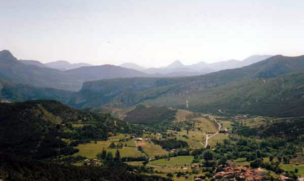
The GR4 here is a goat track up a rocky, flowery escarpment, with scrubby pines and oaks. At the top we plunged into a forest full of paths, but the way was well marked with red- and-white GR stripes. We had plenty of company on this walk, mostly day-walkers, who do the return journey by taxi.

At midday we stopped for lunch at a rustic table in the woods, then we crossed an open plain and scrambled up a bulging stony promontory, up to the very edge of the escarpment.
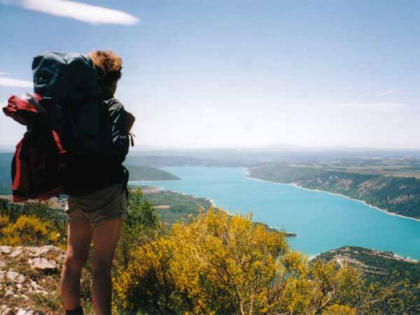
The ground dropped away in front of us and we looked down on the artificial lake of the Sainte-Croix, supposedly resembling a Christian cross.

We followed the escarpment on an easy, leafy track, stopping for more refreshments under an oak tree.
Then began the fearsome descent to the valley floor on a gigantic natural staircase of white rock.
Arriving at the tar road at the bottom was quite a victory and we quickly covered the hot uphill stretch to the outskirts of Moustiers.
Here we had a very satisfying beer with a fellow walker, then installed ourselves at the camping ground nearby.
Some hours later, clean, rested and hungry, we went up to the village proper.
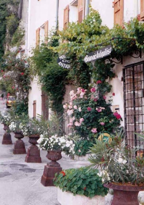
Backed defensively into a corner of the cliff, heavily fortified and sliced in two by a gushing torrent, this little village is now a picture of peace and prosperity, full of flowers.

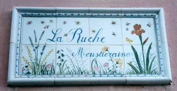
It is famous for faience ware: even the street signs are in faience.
We ate pasta and salad in a square, or rather a triangle, surrounded by ancient walls.
Previous day: Rougon to la Palud-sur-Verdon