Monday, 21 June 2004
Distance 24 km
Duration 5 hours 10 minutes
Ascent 304 m, descent 333 m
Map 64 of the TOP100 blue series (now superseded)
Topoguide Le Chemin d’Arles (blue cover)
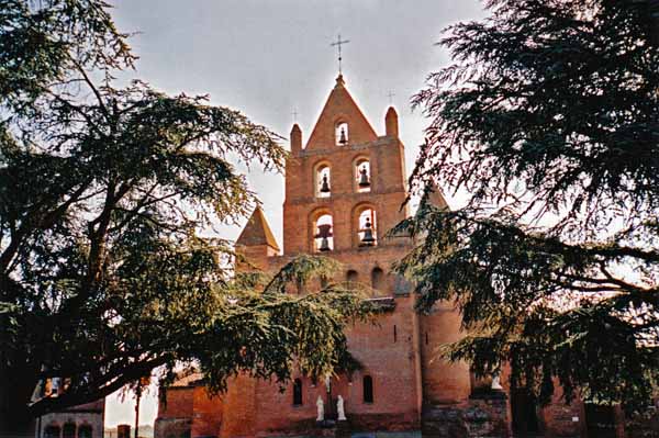
It was midsummer’s day and it certainly started early for us.
In the first light of dawn we packed the tent and retired to a nearby park bench to have our muesli, relieved to be within the law again, as camping “sauvage” is prohibited in most parts of France.
We took the cycle path beside the road to Pibrac and arrived in about an hour.
Pibrac is famous for only one thing, the virgin saint Germaine, who died at the age of 22 after a life of maltreatment and sickness.
She was buried in the local church, but after more than 40 years her disinterred body had not decayed, and had the power to cure sickness, which is more than it had while she was alive. Her remains are now housed in a hideous mausoleum behind the church.
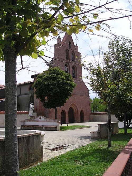
Across the road we were pleased to see the bar already open, as we felt the need for some civilised comforts after our rough night. A few pastries and some hot coffee put everything right, and we had a wash and a brush-up in the toilettes. From here we proceeded no great distance to another pleasant little place, Léguevin, where we stopped for a second round of coffee.
A man with terrible scars on his hands (from tendon surgery) came up to us as a fellow pilgrim – he has done the trip three times – and launched into a history of the medieval pilgrimage movement, a subject that we take a great interest in. He told us that it was the loss of Jerusalem as a pilgrim destination, after it fell to the infidel, that brought on the promotion of a new destination, Compostela. “Your country was not yet discovered”, he added pityingly.
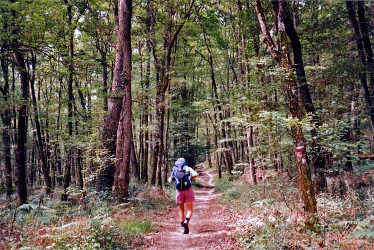
Walking on, we were soon swallowed in the famous Bois de Bouconne, or the part of it that remains. It used to stretch right around the west and south of Toulouse.
Within its vastness Charles VI got lost and descended into madness in 1392, the armies of Soult and Wellington passed and repassed in 1813, and more recently, local resistance fighters were caught and shot by the Nazis in 1944.
It is still wild enough to get lost in, an undulating mass of oaks, chestnuts and ash trees with thick undergrowth, but the GR signs got us through with no trouble.
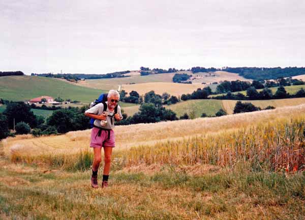
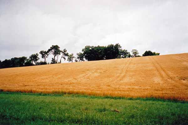
We had lunch on a grassy bank at the other side, then crossed a smooth, open valley of crops, went up the side of a wheat field and followed a ridge until we saw the factories of l’Isle-Jourdain below.
We entered the town in style beside the main road, and the first place we saw was a post office, so I went in to buy a single stamp for a postcard (the number of our friends who still do not have email is shrinking fast) and came out with one that was almost the size of a postcard itself.
The woman was apologetic, but there was not much choice in the denomination required for Australia.
The name of the town derives from the powerful de l’Isle family who had a château here. Raimond de l’Isle went to the crusades in 1099, taking his family along, and his son was baptised in the river Jordan, hence the name. The château, like so many others in France, was destroyed on the orders of Richelieu in the early seventeenth century.
We settled down in a café to write the postcard and watch the life of the town, which seemed unusually bustling. The reason was that there was going to be a music fesival that evening, combined with the grand opening of a new fountain in the square.
After a while we strolled the short distance to the camping ground, which bore no resemblance to the ones that had caused us so much grief recently. It was green and immaculate.
The manager declined our money, saying we could come back and pay after our tent was up, but by that time he had disappeared, never to be seen again. Perhaps he felt sorry for our humble state, contrasting with the palatial motor-homes around us.
The Office of Tourism was a few steps further out, at the lake, with rooms for hire at the back. We got information about the way ahead, and even a TOP100 map at last. The woman could hardly believe her ears when we addressed her in French – she said all the tourists just speak to her in English, so we felt very good. There was another walker there, a big, dishevelled, hound-faced fellow with greying locks held back by a sweatband. The typical pilgrim is a solitary male of this kind, in our experience.
Back in town, we just had time for a drink before the street barriers started to go up. The new fountain could be heard gurgling under its black plastic sheeting, and all the cafés near the square were booked out for the great occasion. We did a turn of the outer perimeter and found an ideal small restaurant there that was not booked out.
It was actually a galetteria, and Keith duly had a galette (a stuffed Breton pancake), but I felt that I had done my dash with galettes at Navacelles, so I had pasta, after the obligatory salad. The decor was cheerful and eclectic. There was a lifesaving ring from the Titanic hanging from the wall, surely not genuine, but it looked shabby enough.
The streets were still full of long paper-covered trestle tables crowded with diners as we wandered contentedly back to the camping ground. It had been an excellent day and we felt our troubles were over. How wrong we were.
Previous section: Revel to Colomiers