Friday, 22 July 2005
Distance 28 km
Duration 5 hours 15 minutes
Ascent 254 m, descent 224 m
Map 64 of the TOP100 blue series (now superseded)
I had a very comfortable night on the dust, as I had a nice deep hip-hole. Keith kindly makes these for me, pawing the ground with his booted foot like an angry bull about to charge, and in this case there was no need to feel guilty about damaging the grass, as there was none.
I have left a trail of little bald depressions across the camping grounds of France. On grassier plots I try to put back the piece of turf and even water it, in the hope of covering up the crime.
On such a blighted emplacement as this, the table was a great help and we managed to keep our possessions out of the dust as we packed.
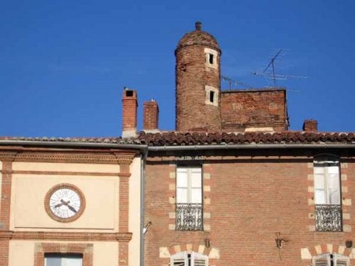
We timed our departure so that we got into town just on 7:30, when the boulangerie opened, and our hopes of a bar were realised in the Place du Vigan.
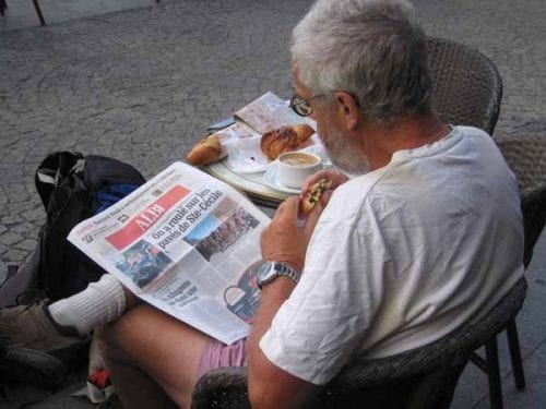
It was much quieter than it had been last night, and we sat peacefully in the morning sunlight with our coffee and pâtisserie, reading the Depêche du Midi, which was full of ecstatic accounts of the magic of yesterday’s Tour.
We had four days to spare before we had to get back to Paris, so our idea was to press on southwards and link up with our route of last year at Revel.
On our little photocopied scrap from the road atlas, our only map, there was a mysterious dotted line starting just south of Albi and going to Castres.
It looked like a GR but was not labelled in the usual way. Having made the unedifying traverse of the industrial fringe on a main road, and then a less death-defying smaller one, we came to a sign for a “sentier de randonnée” and found ourselves, not on a GR but on an abandoned railway line.
It had been covered with gravel and was punctuated by informative notices about the plants flanking the route.
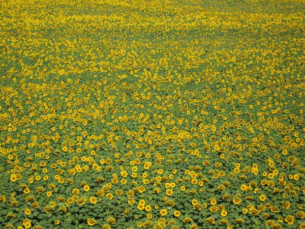
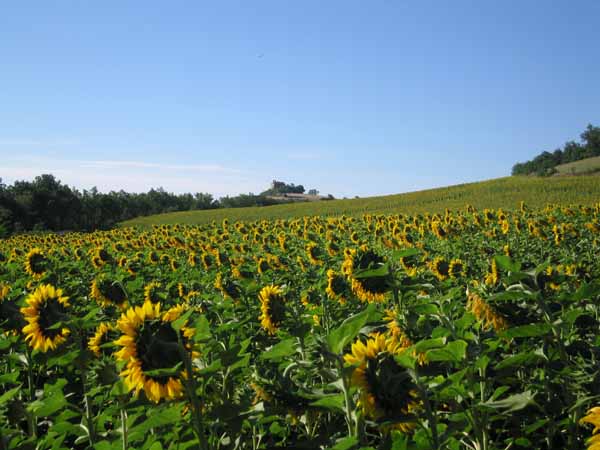
Beyond this bushy strip, fields of sunflowers blazed in the sun. There was no sign of stations or other railway paraphernalia, unlike on the Piste Verte in Languedoc.
After a while we converged on the highway with its howling traffic. There was a picnic table there and Keith was almost crushed to death when he sat down and brought the whole structure rearing over on top of him.
Luckily he fell sideways out of its way. The idea of stopping there for a snack no longer appealed, and we pressed on.
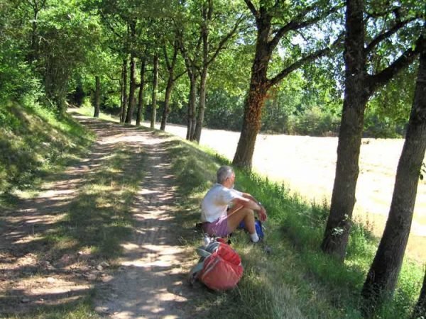
The neat gravel path became a weedy wheel track and then diverged entirely from the old railway line (probably not sufficiently restored) up a steep rise, then along the side of fields where wheat was being harvested and rolled into bales.
After a short rest, we continued, only to find our way barred by a gate with warning signs. We had to go back and find our way almost to the highway before we reconnected with the railway line.
It was becoming tedious, but not long afterwards we suddenly arrived at the village of Lombers. This was only 4.5 km from our destination of Réalmont, by a small road over the ridge.
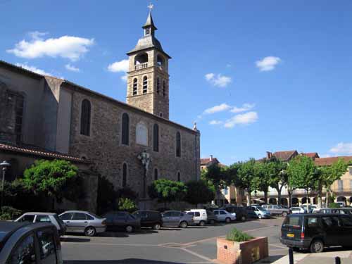
We set off at our best pace in the burning midday sun, at first uphill and then gently descending. Even before we crossed the highway we could see the plastic tables and chairs of a bar. Our eyesight is particularly acute when it comes to these, as it is for sun umbrellas and GR signs.
We called for water and then a round of coffee. From where we sat in the deep shadow of the arcade, we could see the well-preserved central square of the bastide, baking in the sun, with the church awkwardly angled on one side.
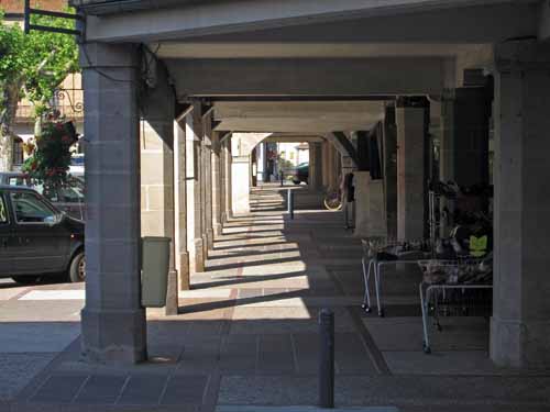
We took off our boots, pleased with our morning’s exertions, and looked forward to an afternoon of relaxation in the camping ground. When the Office of Tourism opened everything changed.
The camping ground was full, we were told, because of the country and western festival, the Ré’al Croche, this weekend. No amount of intercession from the Office could sway the camping ground owners to let us in. The local hotel was booked out and the alternatives were all ten kilometres away or more, and it was scorchingly hot.
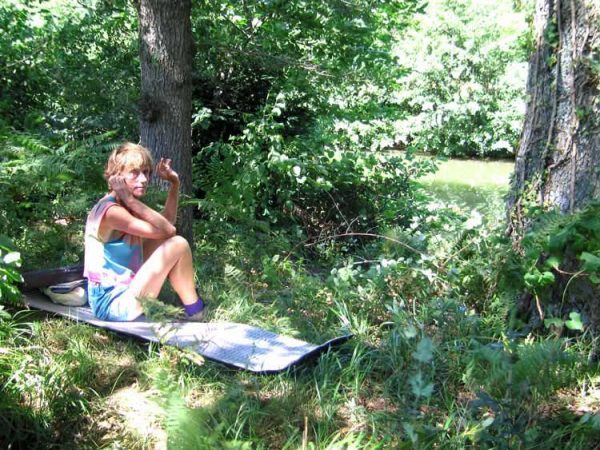
This was the first time in four years of walking in France that we had been turned away from a camping ground. We made up our mind, with great reluctance, to camping sauvage.
First we went down to the river, hoping to find a picnic area, but there was no such thing, so we crossed the bridge and took a small road to the right, past three isolated houses, where a chorus of ferocious-sounding dogs convinced us that there was no hope of going to ask permission to camp. We would be torn to pieces before reaching the door.
Opposite the last house was a field of corn and beyond that the river bank. We sneaked through, deposited our packs in the rough foliage beside the water, and stayed there through the hot afternoon, hating the furtiveness of it.
At 6 pm we went back to the village, past the chorus of dogs, for a glass of cold wine.
The streets were full of big motorbikes and American cars carrying gross, bearded men.
It was a surprise that French people were prone to this sort of thing. However it was a convivial scene, if noisy.
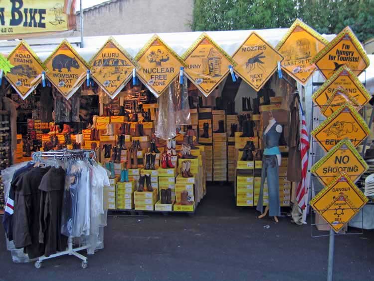
In the market square the festival was beginning, with Elvis imitators and stalls selling leather jackets, tassels, beer, buckles and a collection of Australian road signs, warning motorists of such things as koalas and kangaroos, but also crocodiles, sharks, mosquitoes and dunnies.
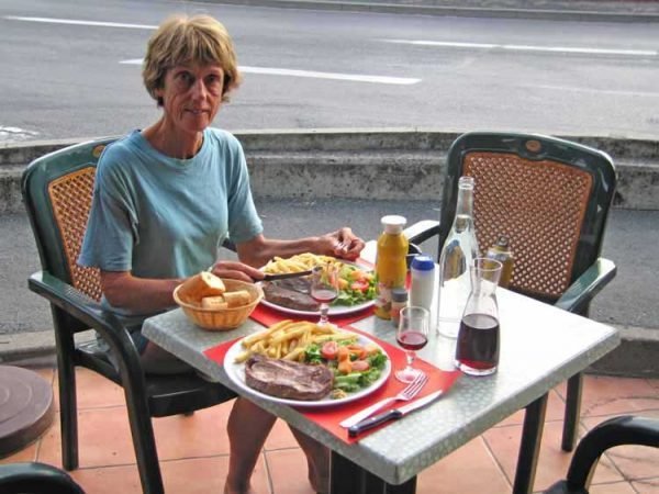
We ate at the same brasserie where we had had our apéritifs, a simple feed of steak, chips and salad. Meanwhile we filled our water bottles surreptitiously from the carafes on the table.
As dusk fell, we returned across the bridge, tiptoed past the dogs without setting them off, and crept into the bushes.
The moon was almost full, so we pitched the tent in the corner of a mown hayfield under the black shadow of a tree, a place that was potentially visible from two of the houses, but we were not disturbed. It was a long night all the same.
Previous section: Villefranche-de-Rouergue to Albi