Wednesday, 8 June 2005
Distance 20 km
Duration 4 hours 20 minutes
Ascent 211 m, descent 186 m
Map 34 of the TOP100 blue series (now superseded)
Topoguide (ref. 6552) Sentiers vers Saint-Jacques-de-Compostelle via Tours
As we left the camping ground at 8:30, I walked gingerly with my multitude of blisters well taped up. The only part of my feet that was not a seeping mess was the back of my heels, traditionally the most blister-prone place. I had slit the rubber toe caps on my shoes in the hope of relieving the pressure.
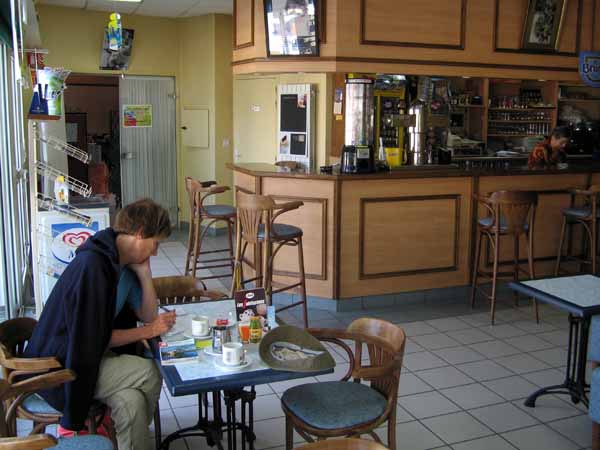
We made it to Cenon-sur-Vienne and stayed an hour in the café, indoors out of the cold wind.
When we were buying lunch supplies in the village square, we met another walking couple who turned out, astonishingly, to be fellow Australians, after we had conversed in French for a while.
They were from Perth and were making the most of the airfare by doing two pilgrimages in one trip. They had just finished the Way of Arles.
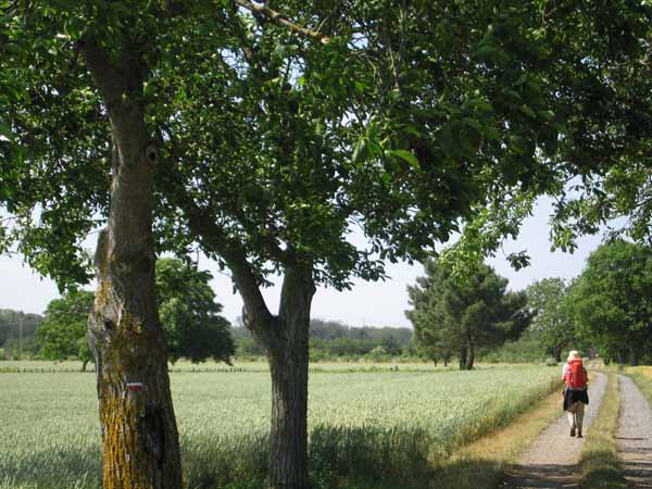
Unlike us, they were staying in hotels and chambres d’hôte, which they were finding very expensive in this part of the world, and as they were booked in to Poitiers that night, they rushed off to take the quickest possible route, the road. We followed at leisure on the GR.
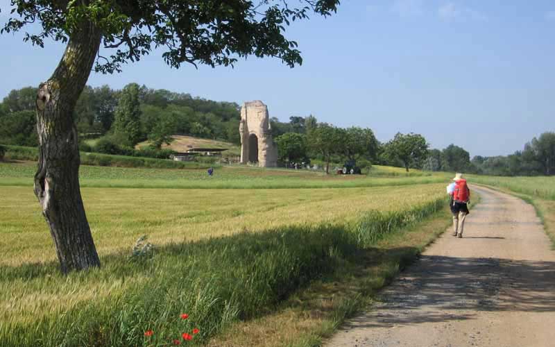
We found ourselves on an abandoned Roman road and stayed on it periodically most of the way into Poitiers the next day. Soon we came to the site of the Gallo-Roman town known as Old Poitiers, with its remaining walls standing forlorn in the flat meadows beside the river. It was destroyed by Normans coming up the river Vienne, and never recovered.
A few kilometres further on we diverged from the Roman road to visit the site of the Battle of Poitiers of 732.
From the slight rise where the information board stands, it was easy to imagine the open grassy bowl in front of us filled with struggling, shouting soldiers and horses.
There have been three battles of Poitiers, but the most celebrated is the one in which Charles Martel repulsed the army of the Moors, in 732, thus retaining western Europe for Christendom.
There was an earlier one in 507, when Clovis beat off the Visigoths, and a later one in 1356, when the English defeated the French and captured their king. This last is not as much dwelt on in France as the other two.
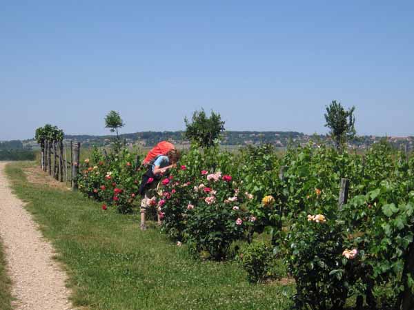
There were no other visitors at the site. We had lunch in the chilly breeze, then went back to our steady progress on the Roman road until we turned off to a vineyard, where every line of vines ended in a pink rose bush.
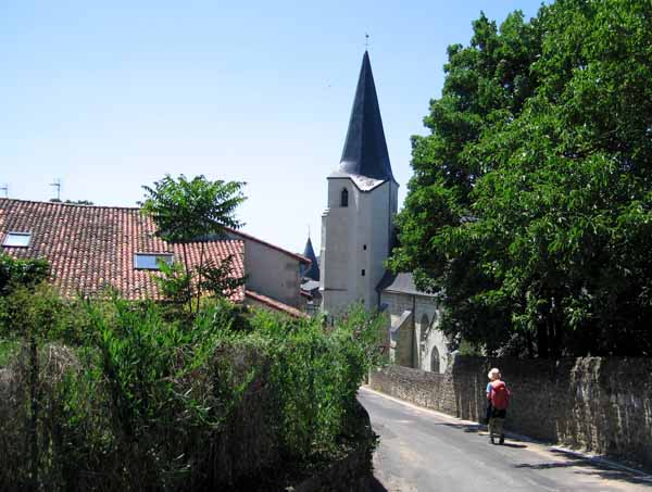
A quiet descent past a large cherry tree brought us into the riverside village of Dissay, with the church steeple shining in the sun.
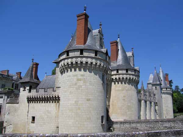
Just across the river was an imposing château half-hidden by trees, and nearer at hand was an old-fashioned bar – no nonsense with outdoor tables or umbrellas here.
We sat in the brown interior and watched tennis on the TV as we drank our coffee. The barman told us that the nearest restaurant was 3 km away, over the river on the N10, not very welcome news.
The camping ground was close by and it was also the Office of Tourism. Our host looked up his lists and announced that there was a nearer restaurant only a kilometre and a half away, so we set up our camp in a happy frame of mind. The showers were hot and plentiful and the grass was thick.
Apart from the usual enormous tents, caravans and motor-homes, there was a small tent (not as small as ours) occupied by two elderly Dutch cyclists, who were on their way to Compostela and had already covered 1100 km from their front door, in two weeks.
In due course we set off in search of dinner, along a tree-lined avenue, formerly the impressive entry way to the château, whose gleaming conical roofs could be seen beyond the wall. Further on it degenerated into waste ground sprinkled with cheap cottages.
As we approached the highway through mean streets, we had trouble finding the restaurant, and when we did it looked no better than its surroundings – more like an army hut than a restaurant. Looking back, I think we arrived at the rear entrance.
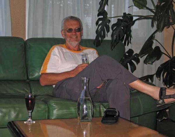
We had no choice, so we went in, and immediately things began to improve. We had apéritifs in a small sitting room, then were shown into the main salle, an extremely elegant room painted cherry pink, with stags heads over the fireplace, and the tables set with candles, flowers and thick napery. Several tables were already occupied.
The middle-aged waitress, who appeared to be the wife of the chef, wore an alarmingly short, beaded skirt and high boots.
We chose the €15.50 menu, which began with a little round goat’s cheese on a bed of herbs. Then I had an assiette poitevine (an assortment of local ham, black pudding and sausage with crudités), while Keith had the terrine of the district.
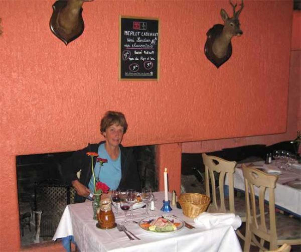
For mains I had lamb, beautifully presented with its vegetables, and Keith had steak.
We found out from the waitress that it is not correct to ask for lamb to be “saignant” (rare). Only beef can be saignant, lamb in a similar condition is “rosé”.
To finish, Keith had a lovely brittle crème brûlée and I asked for local cheeses. I got three big wedges, which I slipped into my bag for future lunches.
It was one of our best meals so far, and all the more enjoyable for being unexpected.
Previous section: Veigné to Châtellerault