Tuesday, 19 July 2005
Distance 19 km
Duration 4 hours 10 minutes
Ascent 351 m, descent 411 m
Map 57 of the TOP100 blue series (now superseded)
We set off before 7 o’clock, although the weather had changed and a misty rain was falling.
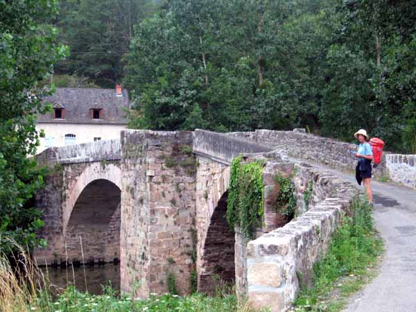
Crossing the Aveyron on a narrow 13th century bridge, the GR went up a thickly forested hillside and we were soon at the height of the château, looking at it from the other side.
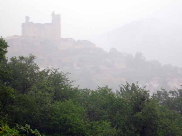
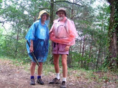
Shortly afterwards the cloud closed in and only a foggy silhouette could be seen. It began to rain harder, forcing us to pull out our plastic rain capes, which covered not only us but our packs and made progress very comfortable.
We went along a wide forestry track, then some small farm roads, then a sort of rabbit-tunnel that plummeted down to another forest road. A long walk on this and another descent brought us to the river.
There was a railway bridge at this point and, feeling that we had gone much further than we actually had, we thought we were within two kilometres of Laguépie.
It should have been obvious that we were at the first railway bridge, not the second, but such is the power of wishful thinking.
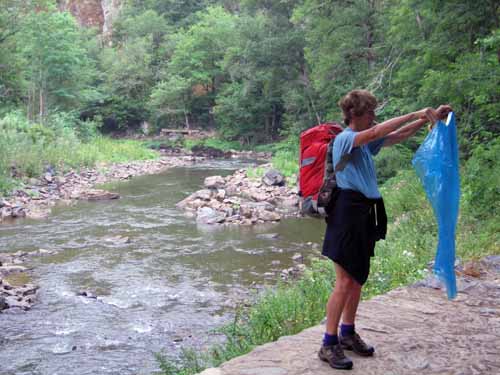
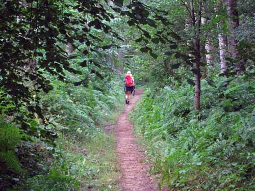
The walk beside the river was delightful, rocky in some parts and softly leafy in others, with low cliffs on either side.
Although the town refused to appear when we expected it, we had an excellent feed of blackberries, then came eventually to a muddy wheel track which turned into a thin tar road and finally into a normal street.

There was a crowded market in the main square so we took our coffee at the hotel over the bridge.
It was called the Deux Rivières and we realised that the larger of the two rivers was the Viaur, although after the confluence it took the name of the Aveyron.
Our plan was to press on to Cordes that day, but it was hot and sunny by now, and it had taken us so long to get this far that we decided to stay here for the night.
It was quite a trek to the camping ground, starting with a climb on the highway, then a long descent and a turn back beside the river. The place was crowded and all the plots were bald and dusty.
Ours had one patch of yellow grass where we pitched the tent and after a quick lunch on a stone, we retired for a sleep, as it had started to rain again.

At 3:30 we went back to the village, this time on a local path along the river, which our hostess told us about. This was half the distance of our first trip and much pleasanter. Long gardens of vegetables stretched down from the houses on the highway far above.
The square was now free of market trucks and shaded by the surrounding houses. We had coffee at a bar and poked around the streets looking for places to take our evening meal. There was not much choice so we decided on the pizzeria.

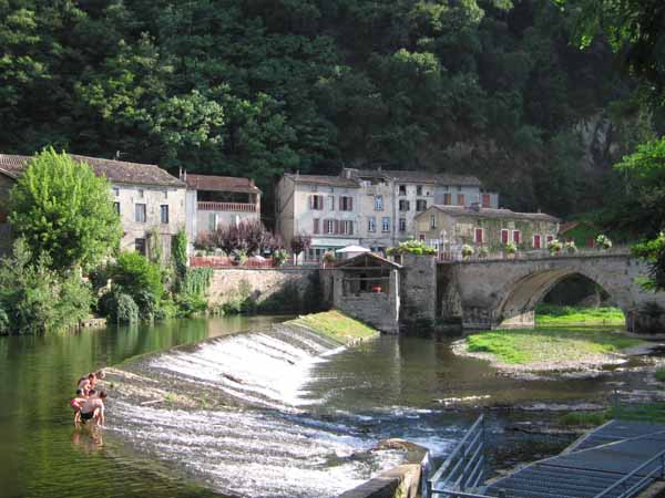
Over the other bridge was a spectacular small castle, half restored, and on the river a weir formed a wide, shallow pool where families were disporting themselves.
People were playing guitars on the grassy bank. We had a glass of cold rosé on a tiny balcony overhanging the weir, then stepped along the street to the pizzeria.
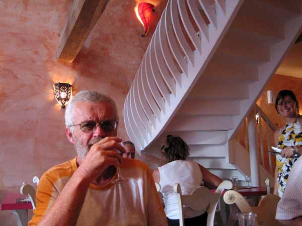
This was an agreeably decorated place, well filled with diners, both on the ground floor where we were and upstairs – a spiral staircase led to an unseen chattering throng overhead. Clearly it was the local.
We had salad to whet our appetites and Keith continued his tradition of having Roquefort at every opportunity by ordering Roquefort pizza. I was more conservative with a vegetarian one.
When it came time to pay, we discovered that they did not take credit cards, but we managed to scrape up the cash. The same thing happened to the French people next to us.
I said it was lucky we had the money, and the man replied “Sinon, c’est la vaisselle!” (if not, it’s the washing-up!), exactly the same rueful joke made by English speakers in these circumstances.
Previous day: Villefrance-de-Rouergue to Najac