Friday, 7 July 2006
Distance 20 km
Duration 4 hours 10 minutes
Ascent 166 m, descent 212 m
Map 27 of the TOP100 blue series (now superseded)
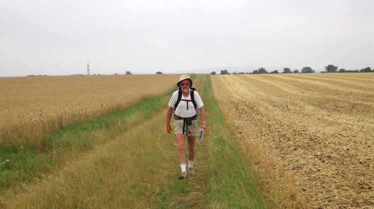
The morning was overcast, so we felt we could sleep in a little without risking being roasted later on.
We left at 8 o’clock, going north on the D2, which should have been marked as the GR3, but wasn’t, the result being that we stayed on the little road and took the first fork to the left, which reconnected with the GR at les Vallées.
Even after that the GR was not well marked and we had to guess our way along a series of thickly grassy farm tracks on an open hillside, leading down to a small wood.
Halfway through this wood we stopped for a drink of water and as we emerged from it near Meung, I realised that I no longer had my spectacles, which I had been holding in my hand to help me read the map while walking.
Keith waited with the packs while I galloped back to the place where we had stopped, in the hope of finding them, but they were not to be seen. I would have to squint for the next month.
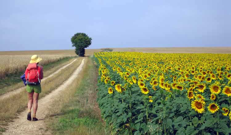
The rest of the way, through fields of wheat, vines and sunflowers, was long but uneventful and we finally left the GR3 at St-Père, taking a small road down to join the Route de Donzy.
This took us under the autoroute and straight as an arrow into the centre of Cosne-sur-Loire.
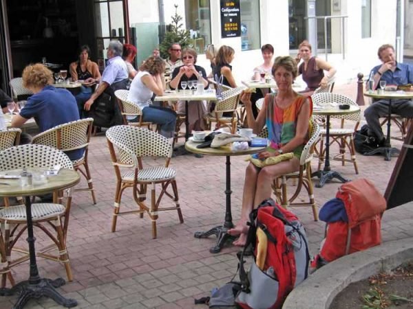
It was after midday and the pleasant tree-shaded triangle of the Place Gambetta was crowded with lunch-time diners. For us it was time for our second breakfast of large coffees, with pastry from a nearby boulangerie.
With our boots off and the first caffeine of the day entering our bloodstream, we felt at peace with the world.
Eventually we shouldered our packs and set off for the camping ground, which was on an island in the river. It was our first sight this year of the lazy sandbanks of the Loire, that were to be our daily companions for the remaining three weeks of our walk.
We made the crossing on a huge fantastical steel bridge, and no sooner had we arrived in the park-like camping ground than we spied our New Zealand cyclist friends lying in their tent. They were not expecting us until the next day, but we had made up time by not staying in Tannay.
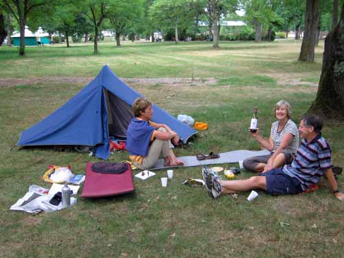
We sat on the grass together and had our usual lunch of bread and cheese, with the addition of a celebratory bottle of wine provided by Richard and Helen.
The conversation turned to what little luxuries we wished we had brought with us – Helen said a skirt, Richard an extra book, Keith some anti-inflammatories (for his knee, damaged at Couches).
All I could think of was the spectacles that I had lost that morning. To my amazement, Richard presented me with a pair of cheap supermarket specs that he had been carrying in case he lost his good ones.
By this noble act, he spared me three weeks of inconvenience, and we found out later that he did not lose his other glasses.
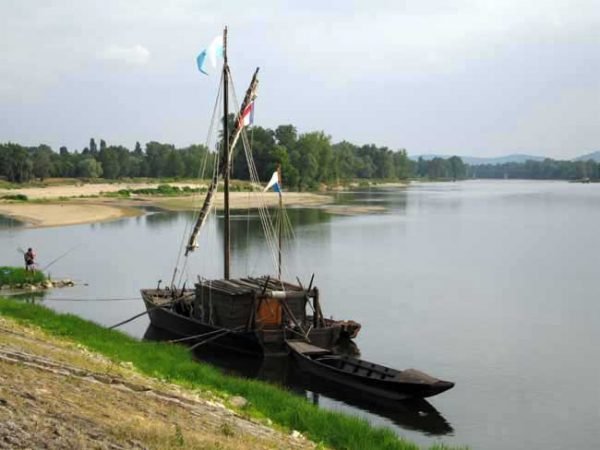
Washed, brushed and dressed in long pants, the four of us set off over the bridge to look at the town. It is on the confluence of the Loire and the Nohain, coming down from Donzy, and was a dependency of the dukes of Donzy in the middle ages.
A great many of its buildings were destroyed in the Hundred Years War. The traditional industries were wine and wood, but later it became famous for its forges, wherein they made anchors and cannon.
We wandered about the streets and the harbour, which was full of boats, then retired to a cybercafé to send an email. When we came out it was time to look around for somewhere to eat.
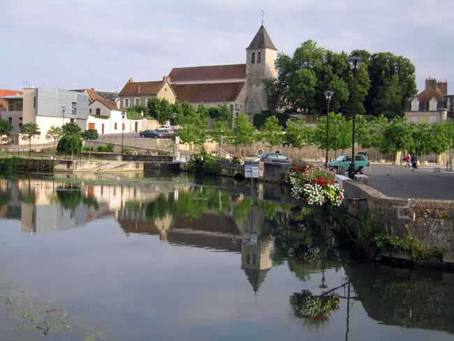
We chose a flower-decked terrace next to the river Nohain, more like a canal than a river and adorned with ducks. All of us had pasta of some kind, salad and wine. We had a lot of talking to do, as next morning we were going in opposite directions.
Just before we crossed the mighty metal bridge again, there was a traffic accident, with a lot of smoke and cars backed up into the streets.
The pompiers and firemen arrived with a great fanfare of sirens, two crumpled cars were towed off and we continued on our way.