Wednesday, 14 June 2006
Distance 15 km
Duration 4 hours 45 minutes
Ascent 250 m, descent 291 m
Map 37 of the TOP 100 blue series (now superseded)
In the first light of dawn we ate our muesli, with the addition of some small cherries collected from a street tree yesterday. Back in the village, the enamelled roofs of the grandest of the old houses gleamed cheerfully in the sun.
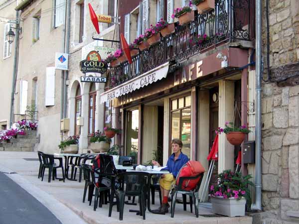
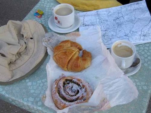
With a paper bag of pastries still warm from the boulangerie, we sat down at an outdoor table for our second breakfast.
The smiling owner gave us her opinion that starting the day well, with good coffee, was a fundamental principle of life. It sounded right to us as we sipped her strong fragrant brew.
On the way out of town, at the suggestion of this good woman, we had a look at the old hospital, down in an alley, so covered with creeper that we could hardly make it out.
We fell into step with a shuffling old fellow who said he had worked for 28 years under the ground, in the Paris Métro, before retiring to the country. He was 80 years old and told us we were very young.
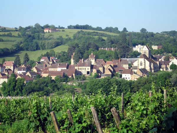
Walking up the steep little road, which has a fine view back over vines to the village in the hollow, we then continued along it until it dipped into the hamlet of Dracy-les-Couches.
Although it was slightly off the road, we made the detour because the patrone at our morning coffee had recommended the church.
We secretly hoped for another coffee stop but there was nothing except a boulangerie. A few ornate signs recalled older shops, now defunct, but the place looked prosperous all the same.
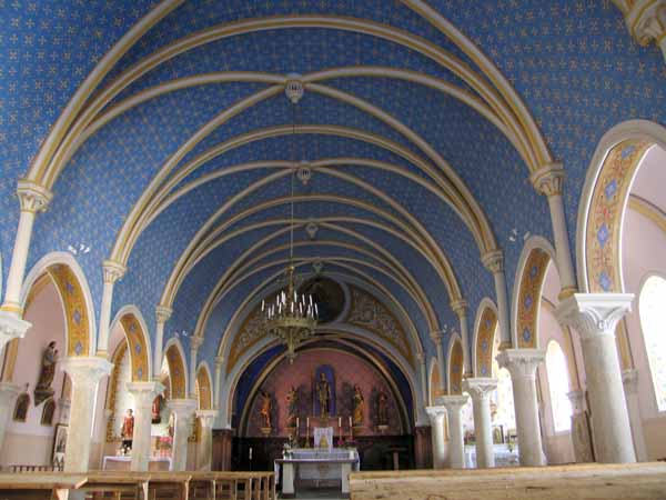
The church was worth the deviation – a tiny Renaissance jewel, with a sky-blue vaulted ceiling supported by ribs of gold and white, all glowing in the pearly morning light.
Freshly painted plaster saints adorned the altar and sides, and an ancient oak staircase spiralled up to the organ.
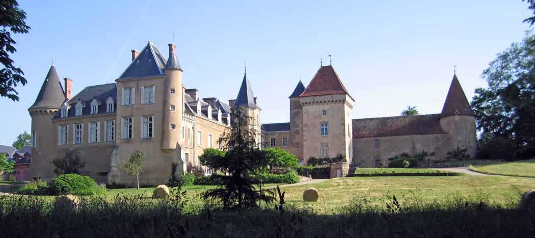
The other architectural feature of Dracy, an imposing chateau, was younger and less interesting – a confusion of styles from different periods.
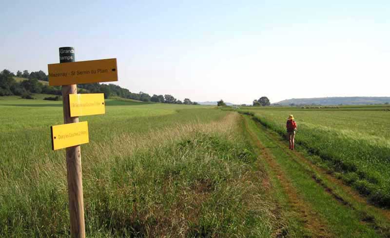
From here on we were on the GR137, with the security of the red-and-white markers, not that we needed them in such open country. The way was partly on little roads and partly on paths.
It was easy walking on the wide ridge with wheat and rapeseed crops golden on either side and red poppies edging the track.
The modest hills on our right were Mont Rôme-Château, then Mont de Rême.
We went past an allotment of vegetables being eagerly tended by a group of amateur gardeners in the midst of a sea of wheat.
At the tiny village of Viécourt the track became a tunnel of unkempt greenery, which we had to negotiate in a crouched position, leading to the next miniscule hamlet (Epertully).
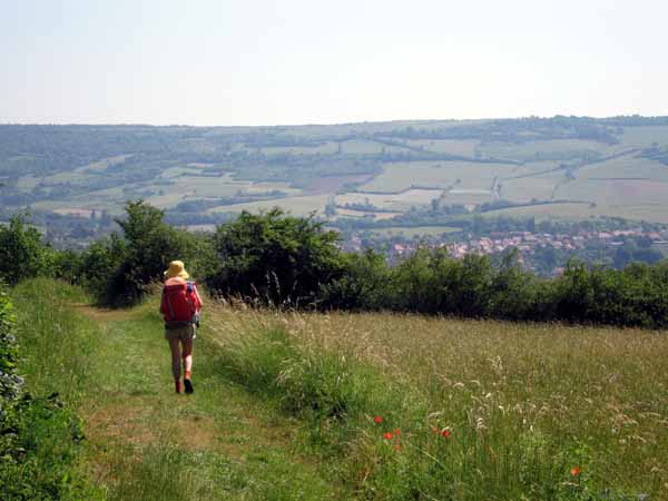
Thenceforth we were on a small road that climbed to the lookout point of the seventeenth century Croix Carnot, with its pleasant outlook over vines, wheat, villages and hills.
A dirt track then slithered abruptly into the back streets of Nolay. The first thing we saw was the municipal camping area on the side of an artificial lake.
As it was only 11 am, we went straight on into the centre of town, to the Place de la Halle, remembered from two years ago.
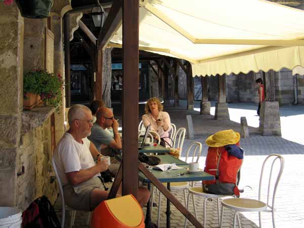
This was a point of connection with our previous Burgundy walk, so we were very pleased with ourselves.
After coffee and pastries next to the great halle (one of the best still standing in France), we took ourselves back to the green grass of the camping ground, washed ourselves and our clothes, then had the usual picnic lunch and siesta under a huge many-stemmed linden tree.
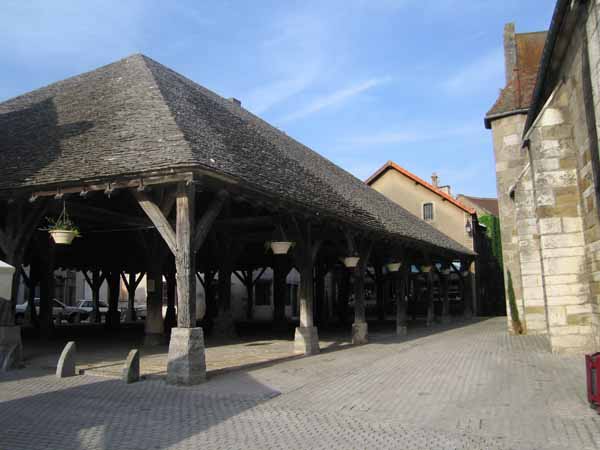
It was roasting hot all afternoon and the local kids enjoyed themselves in the pool above which we were camping. French school kids have Wednesday afternoons off.
As evening fell we walked back to town for dinner. Despite its prettiness, Nolay has very little to offer the diner.
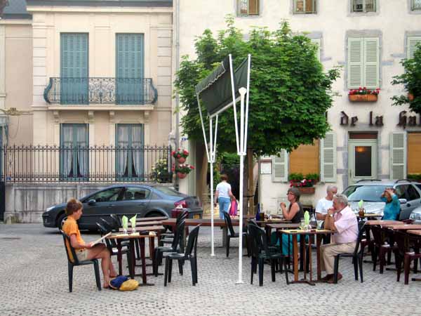
The pizzeria in the Place de la Halle was the best we could do, but it was most pleasant sitting under the stars with the new pavement fountain splashing nearby.
It had been under construction when we were here two years earlier.
Previous day: St-Jean-de-Vaux to Couches