Friday, 16 June 2006
Distance 27 km
Duration 5 hours 45 minutes
Ascent 260 m, descent 294 m
Map 36 of the TOP100 blue series (now superseded)
We made an early start (6:45 am) because of the greater distance ahead of us today. There is a disused railway line through Épinac but we decided not to take it, as the surface was rough and stony and we didn’t know where it went.
This turned out to be wise, as it veered off to the north. We were not well equipped with maps at this stage of the walk.
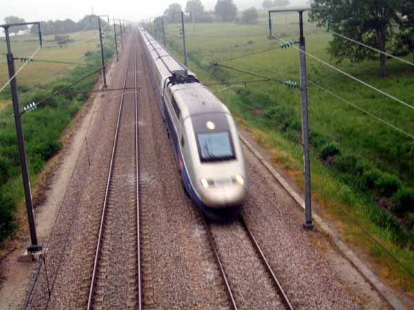
There was a good set of back roads, almost devoid of traffic, skirting a large pool and then crossing the TGV line on an overpass.
We saw three trains flash by in five minutes and got a fright when one of the drivers hooted a greeting at us.
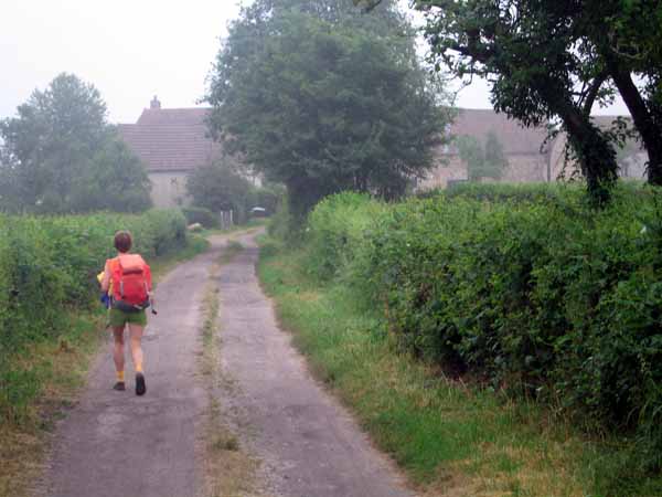
Beyond the railway we got slightly lost and back-tracked a bit (but probably didn’t have to, in retrospect), finding ourselves on the main road.
This was not as bad as it sounds because there was a wide grassy verge and not too much traffic. After a short distance, past Creusefond, we turned off towards Savigny-le-Jeune, then over a rise into Curgy.
To our great joy there was a café and boulangerie in this village; of secondary importance was the great gaunt church, but we took an interest in it after our splendid refreshments.
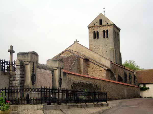
This church is unusually old (eleventh century), and looms uncompromisingly over its surroundings. Because it was built before the invention of buttresses, it has low vaulted side walls to support the main space.
It was saved from demolition in the 19th century by a local archaeologist and since then a fresco from a much older Roman building has been found within the walls.
As we left the church we saw a pair of familiar figures – English cyclists who had been camping near us at Saint-Boil. They said they had just done a turn through the Morvan and had found amenities thin on the ground there.
The Morvan has traditionally been a sparsely populated area, rough and forested, with poor soils, in contrast to the fertile farms and vineyards of the rest of Burgundy all around it. Its main export was firewood for the Paris market.
Our English friends said they had been reduced to eating muesli for dinner a couple of times for lack of a restaurant nearby. This was bad news for us, being on foot and even more limited in movement than cyclists (in the event we had no trouble at all in the Morvan). Refreshed and enlightened, although slightly bothered by these tidings, we set off for Autun, which was just over the rise, in a wide bowl.
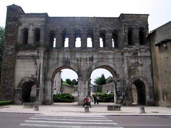
The outskirts were easily reached, but getting to the centre was a different matter – long, hot, ugly and tedious. The centre was on a rise, encircled by the remnants of the Roman wall, including two of the original gates.
We finally gained the high ground of the Champ de Mars, where all the fashionable streets converge. The only trouble was that, after our elegant coffee break, we set off on a slightly wrong radiating street and were soon far from our destination.
We needed to find the Porte d’Arroux but we found the other one, the Porte André, and then had yet another tiresome trudge through a tangle of modern streets.
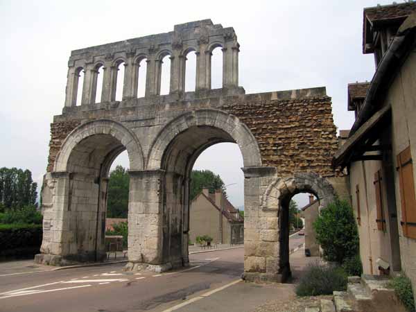
But the Porte d’Arroux was worth the trouble, as proud and awe-inspiring in decay as it must have been in its prime. The camping ground was a little way outside the gate, on the edge of open country.
Autun has an interesting history – it was built specifically to tempt the local Gaullish population with the attractions of Roman life.
The first contacts between the Romans and the Gaullish tribe of the Aedui had been peaceful enough, with trade and military cooperation, but by the middle of the first century BC things had changed.
Several of the Celtic tribes formed an alliance and, under their young leader Vertingetorix, they fought their final battle with the Romans in 52 BC, and lost. This was the battle of Alésia. Nevertheless the Aedui continued to occupy their fortress, Bibracte, on the flat-topped Mount Beuvray.
With considerable subtlety, the Romans decided to entice, rather than force, their recalcitrant subjects to abandon this stronghold.
A few miles to the east, the town of Autun (originally named Augustodunum, after the current emperor Augustus), was set up with all possible elegance and comfort. Sports and entertainments were held at the amphitheatre, which still stands. Within a couple of decades Bibracte was deserted, as the indigenous people came down to enjoy the amenities.
At the camping ground we discovered that our destination for the following day, Celle-en-Morvan, no longer had camping. Our friendly host found this out by telephoning the number and asking “Excuse me, do you exist?” (the mayor answered and said he didn’t, or rather it didn’t).
Using the same approach, our host found that there was a functioning camping area in a different direction, at Sommant, but no restaurant nearby. We would have to change our route and be prepared for a picnic dinner.
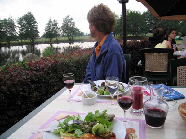
That evening we dined delightfully at the camping area itself, on a flowery terrace overlooking the stream. It seems to be a feature of the Morvan, to have a restaurant in the camping ground. We had the Menu Randonneur (walker’s menu) for €11.
We had a tomato and mozzarella salad, then salmon lasagne, steak with Roquefort sauce, and finally two scoops of icecream.
As usual we polished off all the bread on the table and even the second basketful, and drank every drop of our half-litre of wine.
It was pleasant to be able to get to our tent in only a few steps after this fine meal.