Tuesday, 17 June 2008
Distance 21 km
Duration 4 hours 25 minutes
Ascent 168 m, descent 104 m
Map 60 of the TOP100 blue series (now superseded)
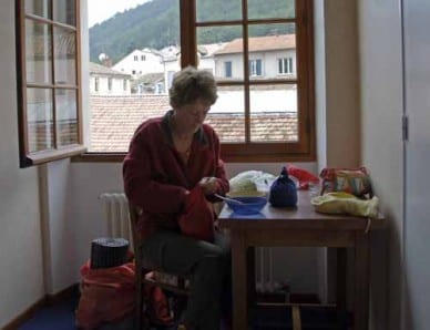
As we stepped out the door of our hotel, light rain was falling, but it never got any heavier and soon dissipated.
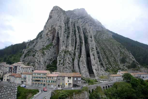
Instead of continuing up the Durance, as Napoléon had done, we followed the large tributary, the Buëch, upstream on a small road and before long crossed into the new department of Hautes-Alpes.
The walking was flat and easy, initially through forest and later amongst fields.
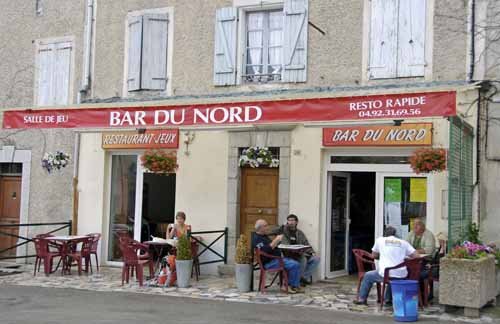
Arriving at Ribiers at 9 o’clock, we were relieved to find two bars operating in the pleasant triangular square and installed ourselves promptly in one of them, with a bag of the local croissants, for our second breakfast.
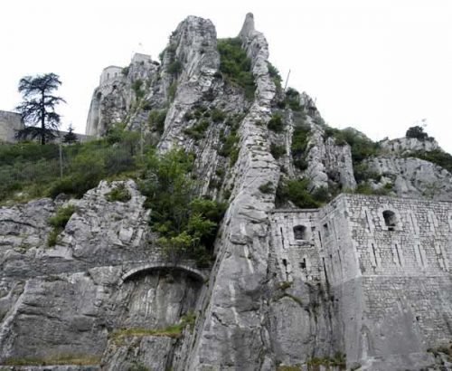
The walk continued beside the braided stream. There were occasional hamlets and the sagging remains of the château of Mison, like a huge fallen soufflé on top of a hill.
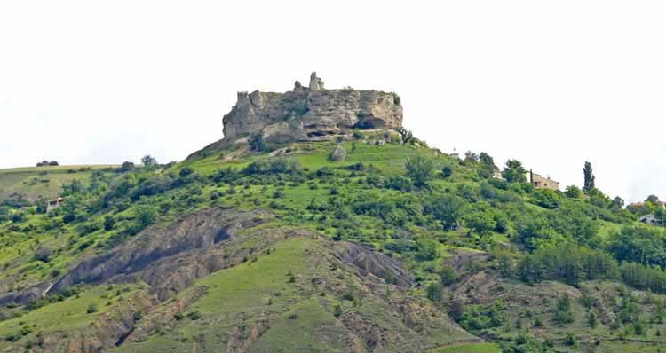
Another tributary joined us and we passed through fields of fruit trees and wheat, until we descended sharply to the river, crossed a bridge and a flood plain, and climbed into the streets of Laragne-Montéglin.
It was a sizeable place and we had to ask the way to the Office of Tourism, which luckily stayed open until 12:30, as it was after 12 before we found it.
The good news was that the camping ground was very close, unlike at Sisteron, so we felt free to indulge in another coffee before going there. We sat on the terrace of a large corner bar, but it started to rain, driving us indoors.
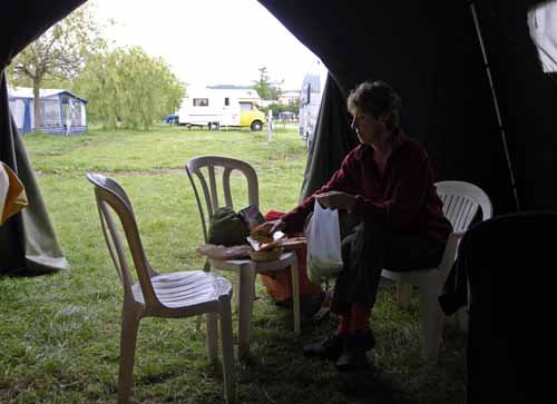
Once again a merciful providence had intervened on our behalf, with rain both before and after, but not during our little walk.
When it eased we made a dash through the shiny streets, across a level crossing and into the camping ground. No sooner had we entered the office than it began to rain in earnest.
Our kind host was worried the we had so little protection – no car, no caravan, no huge tent – so he pointed out a large grey marquee at the bottom of the grounds, inside which we could pitch our tent, he said.
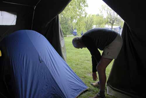
This we did, wondering what the long tarpaulin-covered shapes were, that were propped up on trestles inside. Then we began to notice that all the other campers had the same sort of things, either on a roof rack or on the ground near their tents.
It transpired that they were hang-gliders and parapentes, and that everybody else in the place was here for the official practice round for next year’s world championships.
The spurs and crags that distinguish this part of Provence have made it a world centre for this esoteric sport.
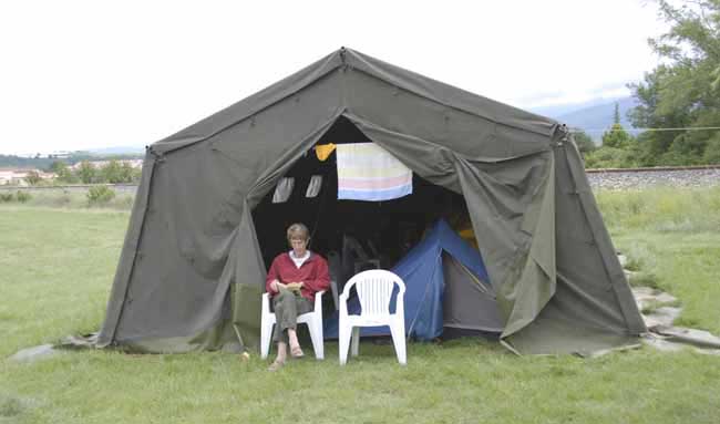
Our host came down with two plastic chairs, so we had a comfortable lunch inside our strange shelter.
I had a tepid shower in the old shower block, while Keith had a lovely hot one in the new block, and we settled down for an afternoon nap, then we wandered around talking to some of the enthusiasts, many of whom were solitary English-speaking males.
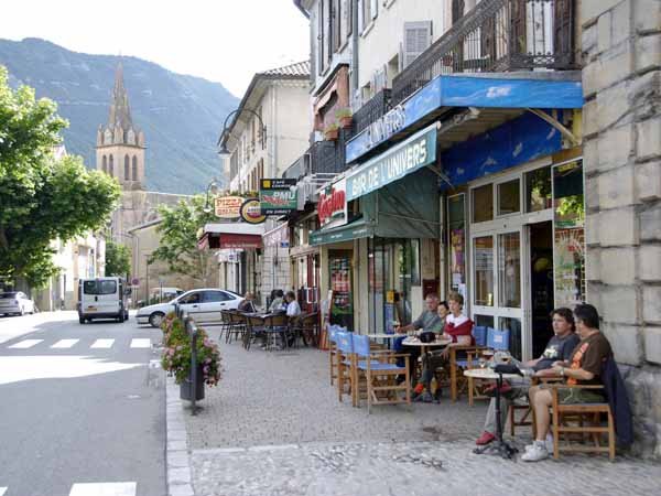
At 6 o’clock we went back to town and hunted about for the map that we had failed to find in Sisteron (TOP100 number 52). This time we were successful.
Glasses of rosé ensued at the Bar de l’Univers, which was in a line of shops and cafés on the main road through the town, and was a lively centre of sociability at that hour.
Later we moved a little way along the street to le Lavandin, ostensibly a pizzeria but actually a normal restaurant. Troops of locals came in for take-away pizzas as we consumed a fine meal of salade niçoise (with eggs, anchovies and olives) followed by steaks.
I enjoyed it as usual but later had some sort of gastric problem that forced me to get up in the night.
Previous section: St-André-les-Alpes to Sisteron