Saturday, 7 July 2012
Distance 23 km
Duration 5 hours 40 minutes
Ascent 337 m, descent 371 m
Map 170 of the TOP100 lime-green series
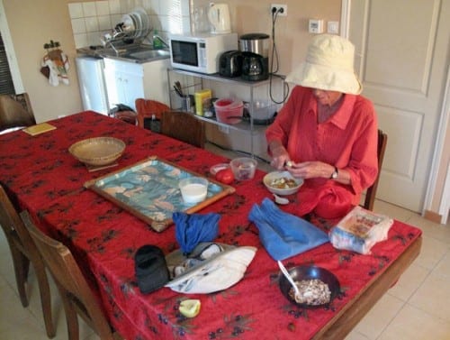
We sat up at the table in the gîte, with the sun slanting in cheerfully, and had muesli with powdered milk from the new packet, pleased to be able to eat before setting off. Yesterday’s ordeal had made us cautious.
With the muesli we had some fallen apricots from a local tree and an apple from an orchard we had passed two days ago. It is rare for us to actually buy fruit.
We had the place to ourselves, which was not a surprise, as the Way of Arles is much less popular than the main pilgrimage from le Puy.
At 7:20 we left, and stepped straight out the front gate onto the GR. It was a contrast with yesterday, when it took us more than three hours to find the first red-and-white mark.
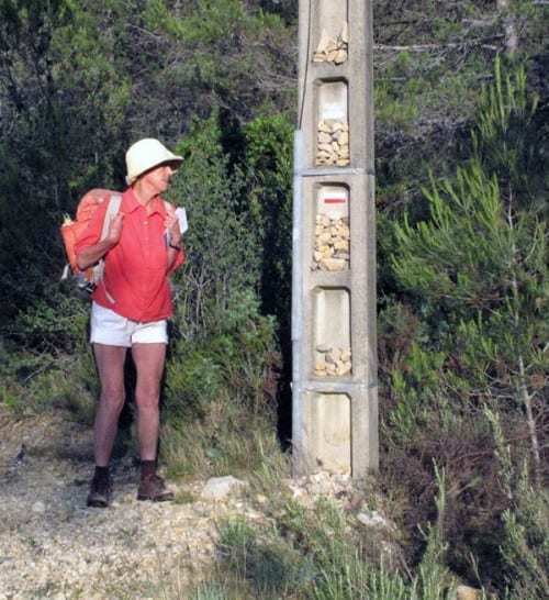
The stony track rose through a dense forest of scrub and small pines. We could tell that we were on a pilgrimage, because a concrete power pole beside the track was laden with stones, a modern variant of the traditional pilgrim custom of placing stones on wayside crosses.
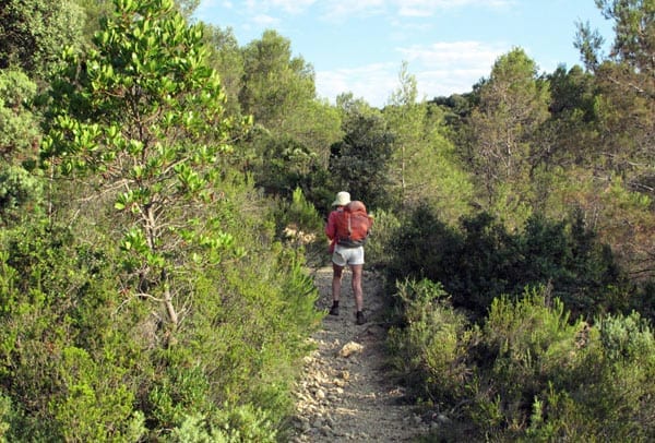
At the top of the ridge the GR joined a road (the D111), which we then followed on a downward slope until we came out of the trees near the hamlet of la Boissière in the valley. At this point the GR departed from the road but soon became entangled in undergrowth, so we struggled back and continued along the road.
The little village of la Boissière was attractive, its square adorned with trees, flowers and cart-wheels, but it had no shops for the caffeine-starved passer-by.
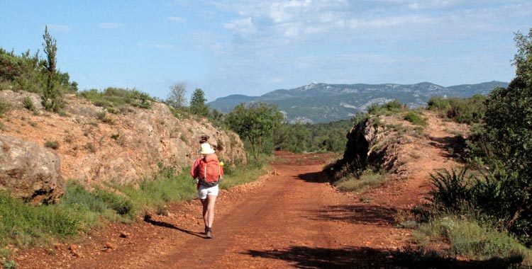
Not much further along the road to Aniane (the D27), the GR turned off on a red dirt road, which the Topoguide informed us was the route of an abandoned railway line.
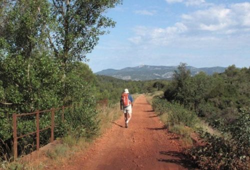
All the tracks and sleepers had been taken away, but the cuttings, bridges and embankments remained, making for an easy walk. We passed a flooded quarry, beside which a few families had set up tents under the trees, a pleasant sight.
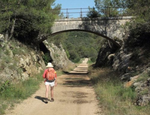
The wide, smooth pathway went under a stone bridge and just after that we turned off the railway line to the left, or we would have if half a dozen enormous fire trucks had not come lumbering up and blocked our passage for a while. There was no fire – they were just practising.
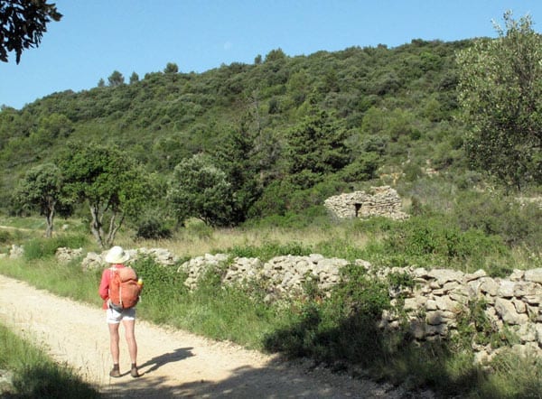
The new track was narrower and had drystone walls and even the wreckage of shepherds’ huts.
At this time of year everything looked dry on the garrigue, even though we were beside a stream. Across the water the ground rose dramatically and we could see the D27 curving round the forested hillside high above us.
Then the GR veered off again, this time up a steep wheel track that arrived at a ridge, then descended precipitously until it met the road.
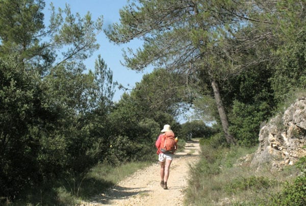
According to the Topoguide, the track then took a downward short-cut to avoid a long hairpin bend of the road, but we could not find it despite several attempts, so we ended up taking the long way on the bitumen.
Approaching Aniane, the road forked and we could not decide which way to go, but a passing driver advised us to go right.
This was a mistake, as we then trudged across fields for a long way while the town came into view on our left. We almost went past it before we crossed the river, turned left and left again, and finally made it into the centre of town, hot and slightly aggrieved.
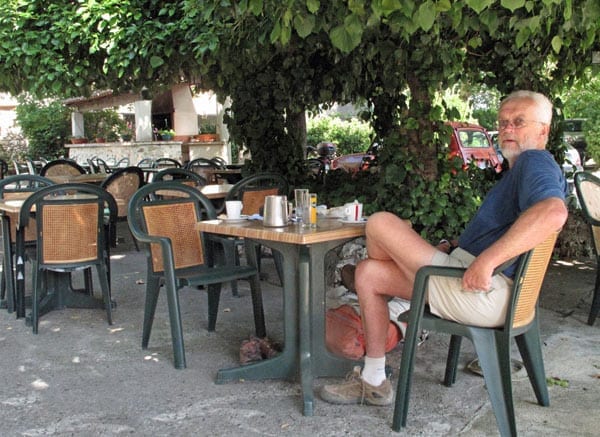
Actually Aniane was a town without a distinct centre, just a motley mass of lanes with shops sprinkled here and there. Eventually we found a bar, up on the highway at the top of the old town.
It looked rather dire but turned out to have a lovely shaded garden at the side, hidden from the street. I stayed with the packs while Keith went to hunt for some pastries, and in so doing he found another couple of bars, plus the GR.
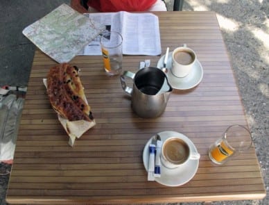
The boulangerie had little left at 10:30 am, but he got a large delectable thing called a torchon (I think) to go with our coffee and cold water.
Setting off with renewed vigour, we followed the GR signs as they left town on the main road, but instead of turning left as the map and the Topoguide indicated, we were sent to the right. No doubt the track had changed since our documents were printed – admittedly we were using an old edition of the map.
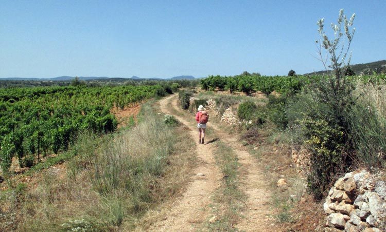
But the new route proved excellent. At first we threaded our way past vegetable plots and gardeners’ shacks, then the land began to rise towards a steep, craggy ridge. All around us were olives and vines, carefully tended and watered, and far away to the west we started to see the mountains of the Languedoc.
We crossed a road and continued to climb. At the top of the slope the GR turned and went along the base of the rocky ridge, beside a drystone retaining wall which looked as though it had been there since prehistoric times.
It was delightful to walk in this airy, empty place, high above the surrounding land, but after a short time we came down gradually and joined the road at the Pont du Diable.
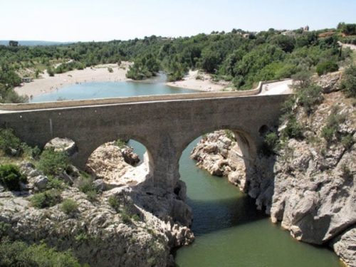
Here the Hérault river lay like a sleeping serpent in a gorge whose scoured, rocky sides testified to the fearsome power of the water in flood.
There was a beach near the bridge, dotted with bathers, and a snack bar which we did not stop at. Having crossed the bridge, the GR joined the ascending road, which clung to the side of the narrow gorge as if by magic, with an almost vertical drop to the river.
Fortunately there was a generous verge to walk on. As we went up, the gorge opened out and the GR was able to branch off on a lower path that took us initially to the ruined tower of the ninth-century abbey of Gellone, and then on towards the village of St-Guilhem-le-Désert, our destination for the day.
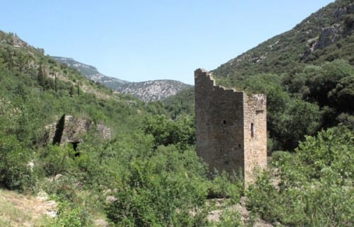
The atmosphere of secluded piety that surrounded the old abbey (precursor of the present one in the village) did not survive beyond our return to the road.
Two enormous, crowded tourist eateries dominated the entry, with buses lined up outside. It was only to be expected in a “Plus Beau Village”, but rather jarring all the same.
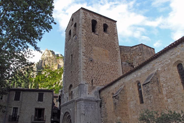
The main part of the village, centred on the abbey church, was above this in a small side valley and we walked up a long way on a road that ended in a massive car park under trees.
On the way up we could see the serenely rounded east end of the church, surrounded by its garden of simples, which occupied the only flat land in the village.
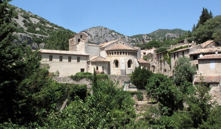
The church square, which was approached from above, was the scene of another tourist frenzy.
It was lunch time and the place was packed with diners sitting under market umbrellas. In the middle was a gigantic plane tree, taller and wider than the church itself, which reputedly had been planted in the time of Napoleon III, making it about 150 years old.
We were only in need of coffee but that proved difficult – a couple of places did not want to give space to mere drinkers.
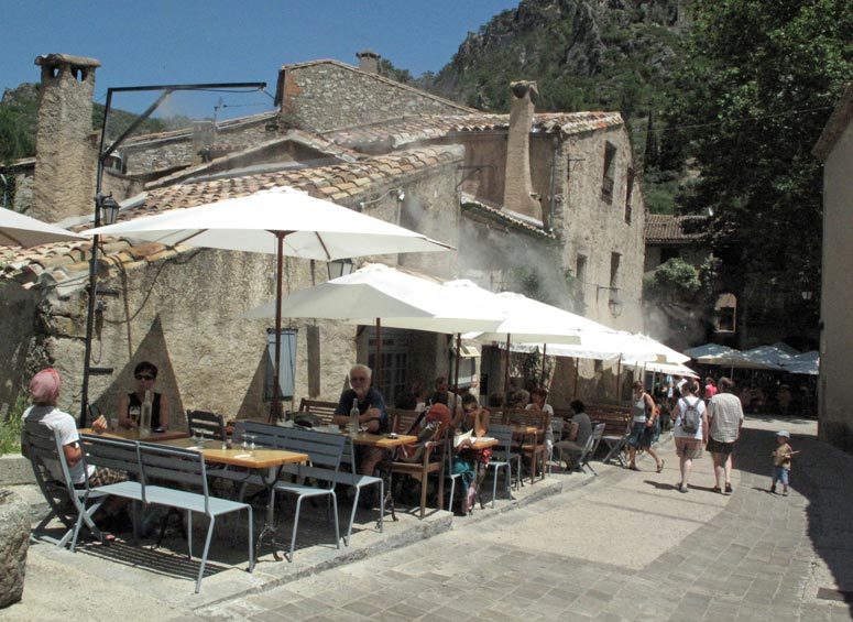
In the end we found a café slightly out of the square, which had the advantage of a spray system that sent out a cooling mist onto the umbrellas.
After coffee and cold water, we started to look around for the Office of Tourism. Obviously we were not going to find a camping ground in such a steep, constricted village, but we hoped for a gîte.
Signs pointed downhill on the other side of the stream from the one we had come up, so we set off in that direction. We had only gone a short way when we noticed a little name-plate hanging above a pastry shop – “Club Alpin Français: Gîte Refuge”.
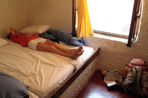
Noticing our interest, the woman in the ice-cream shop across the lane told us to ask the pastrycook, and within minutes we found ourselves installed in the top floor of the gîte, having parted with €28.80 for the privilege.
The only other occupants were a pair of Italians, not walkers, who were on the point of leaving.
Later a serious walker arrived. He had been delivered to St-Guilhem-le-Désert by taxi, and was going to walk the Way of Arles as far as Punta Arenas in Spain, then turn back on the Way of Le Puy, past Roncevalles to St-Jean-Pied-de-Port, where he worked in the big pilgrim gîte.
He was middle-aged, stocky and, like most lone pilgrims, everything about him was grey or brown. He said he was leaving at 5:30 am tomorrow on the long, arduous stage to Lodève, and we made up our minds to do likewise
Clean and neat after our showers, with our walking clothes drying on a rack, we lay down to rest, but the squeaking of the various bedroom doors as they moved in the breeze was disturbing, so I oiled them with some New Zealand butter that we had saved from the plane. It had gone rancid long ago but I had forgotten to throw it out.
Then we were woken by a deafening peal from the church bells, which were immediately outside our window. At seven o’clock the customary festive tumult almost broke the windows. We could see the great bells rocking wildly in their stone enclosure.
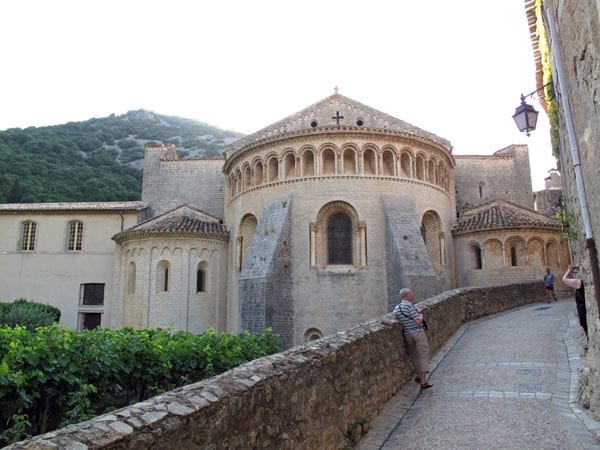
Before dinner we went for a stroll around the village, leaving our fellow walker preparing his solitary meal in the kitchen of the gîte.
St-Guilhem, we discovered, was a cousin of Charlemagne and a powerful, aggressive duke, who spent his life fighting until converted by his childhood friend St-Benoit in 803. At this point he retired to the remote valley of Gellone and founded the abbey.
He took the precaution of endowing the abbey with a portion of the True Cross, which ensured a constant stream of pilgrims and hence of money.
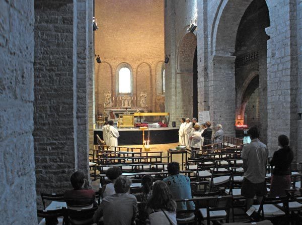
The present church was built in the eleventh century, although much restored since then.
Inside the church, white-clad nuns were reciting and singing their evening prayers while tourists stood respectfully in the shadows.
When we emerged, the square was teeming once again with diners and we cruised around looking at menus.
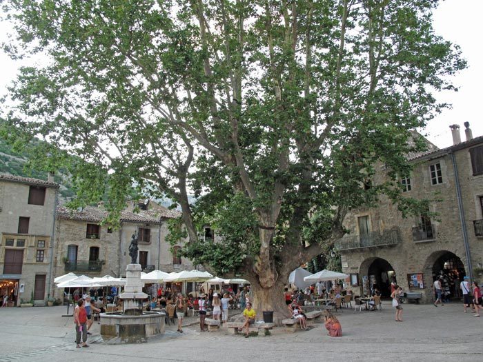
Not unexpectedly in such a touristy place, none of them were very edifying and we finally went back to the café where we had had coffee when we arrived.
We intended to look around first and find where the GR left the village, so that we would not have to thrash about in the morning, but we sat down before we remembered to do it.
After we had ordered, Keith went hunting for red and white signs but could not find any. This made our dinner slightly anxious, although we still enjoyed it.
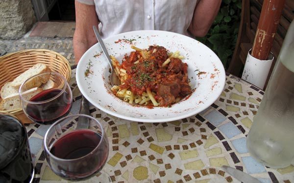
A refreshing green salad prepared the way for the main course, which was the inevitable entrecôte for Keith and something called macaronade for me – macaroni with a beef and tomato sauce.
We questioned our waiter about the GR, explaining that we were going to walk to Lodève in the morning. He was aghast at the thought, but suggested we try the lane at the bottom of the square, opposite the door of the cathedral.
This was indeed the way, and after checking the first few GR signs to make sure, we retired to the gîte with relief.
Previous day: Montpellier to Montarnaud