Thursday, 17 July 2014
Distance 17 km
Duration 3 hours 25 minutes
Ascent 12 m, descent 7 m
Map 139 of the TOP100 lime-green series
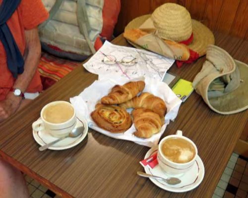
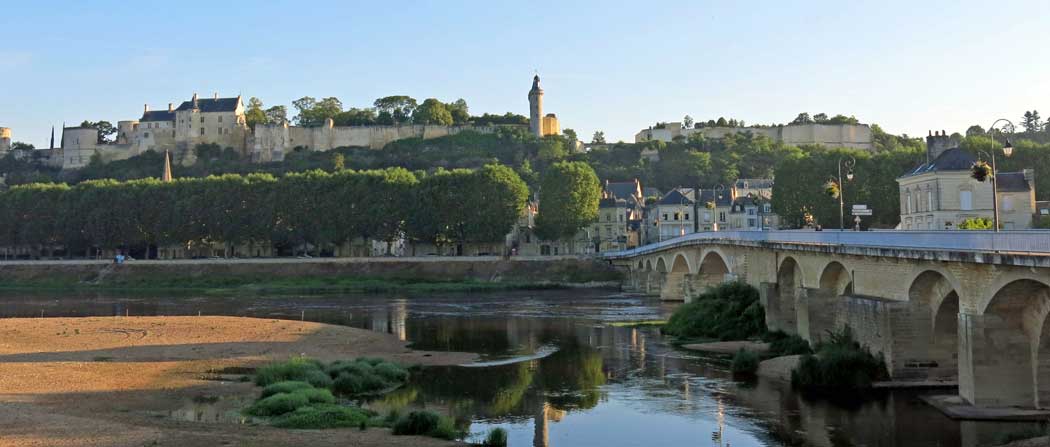
Having done the necessary investigations the day before, we marched straight to the boulangerie near the bridge and then to the bar/presse, which at 7 am was already full of locals. We were only a few steps from the tourist strip on the river, with the view of the castle, but there was no trace of tourism here, except for us of course.
On the map it looked as if there would be no refreshments along the way today, so we had a double ration of pastries and two coffees each, taking our time to enjoy them.
We sat indoors, keeping an eye out for someone to finish reading the paper and take it back to the counter, but we never succeeded in getting our hands on it (the next paper that we saw was the following day, and it had shocking news).
The waitress was very interested in what we were up to, and we had quite a long conversation.
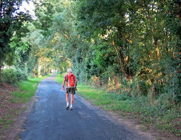
Thus primed, we set off past the camping ground on a small scarred and pock-marked road shaded by a strip of trees, following the river downstream.
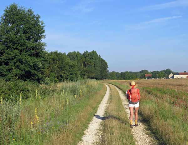
When we came to the flyover of the bypass road (the D751), we clambered up and crossed the river. On the other side we saw the cycle track threading underneath us, but we had no hope of getting down to it, so we kept going to the nearby roundabout and then turned off on a farm road that became a chalk-white wheel track across the fields.
For a short time we were out in the morning sunshine, but before long the trees closed in around us again. It made for pleasant walking, although not very eventful.
The only people we met were two council workers on huge mowing machines, assiduously mowing the verges and the surrounding growth on what was, after all, only a dirt track.
France is so fertile that it requires constant vigilance to keep the country from being swallowed up in greenery.
Another possible reason that the track was being so carefully maintained was that it was extremely old, in fact it was built by the Romans (and may even have been Gaullish before that).
It joined the flourishing Gallo-Roman towns of Chinon and Candes, and there was a bridge across the mouth of the Vienne from as early as 14 BC.
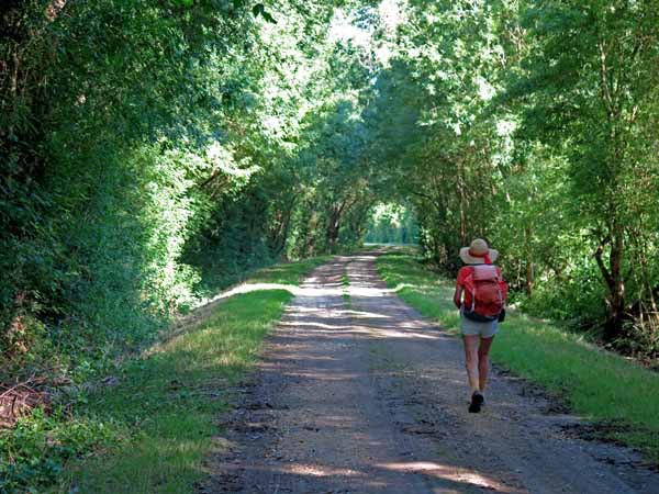
After about an hour in this shady tunnel, we emerged and the dirt gave way to bitumen.
Suddenly there were flocks of cyclists gliding past us in both directions, a good sign that we were near civilisation.
We were now in the point of land hemmed in by the converging Vienne and Loire rivers, called “la Queue du Pré” (the tail of the field).
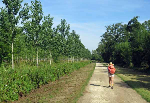
Having passed a plantation of young poplars and a strip of dank forest, we got to the bridge over the Vienne, but we were far below it, so we had to go under it and then scramble back up a loose, stony embankment to reach the road.
From the bridge we could see the majestic expanse of the river as it met the even more majestic Loire.
The grey and white village of Candes-St-Martin sat invitingly on the opposite bank, clustered around the massive church, which was being renovated and was swathed in scaffolding and white cloth, with only the top of the steeple protruding.
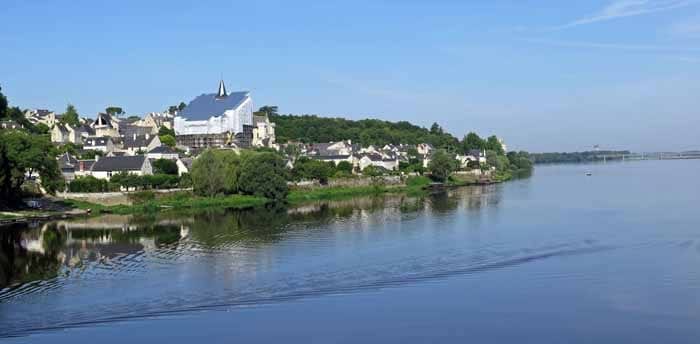
We would have liked to stop for refreshments here, but as it was only a kilometre and a half to our destination, Montsoreau, we pressed on.
Candes-St-Martin is a Plus Beau Village, and it is certainly very pretty with its narrow walled lanes tiny gardens and glimpses of the river.
We passed the sloping forecourt of the church and recognised the restaurant where we had eaten so splendidly on our previous visit in 2006.
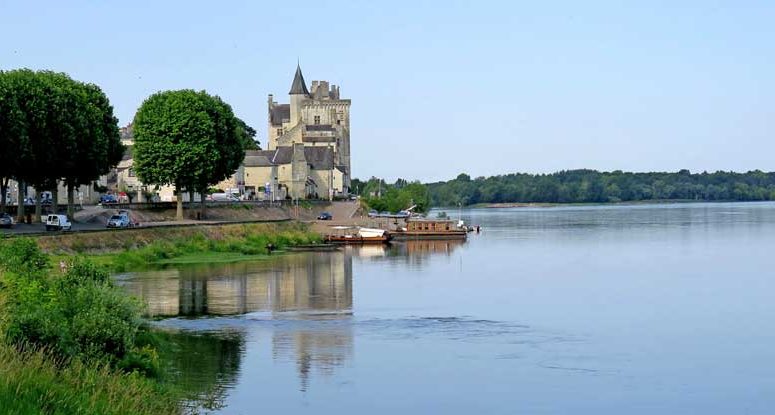
The walled main street of the village finally came out onto the riverbank and we approached the ravaged bulk of the château of Montsoreau looming over the water (it is because of this that Montsoreau is also a Plus Beau Village).
Immediately past that was the village, with its square full of shops and cafés opening onto the river. We sat down at the first bar we came to, in the shade of the building, and had coffee, although cold drinks would have been a better idea.
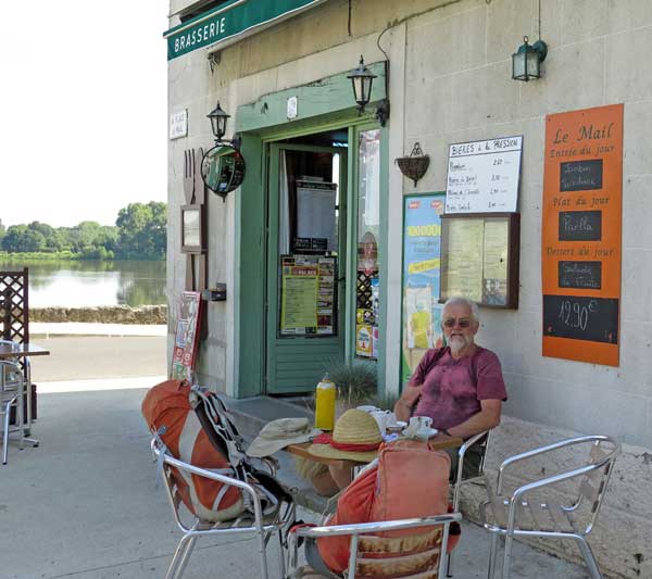
It was only 11 am and we had finished our day’s walk. The camping ground was a few steps further on and was full of cyclists, whose tents were clustered around a covered area with cooking facilities, tables and benches.
Wet washing and food scraps were strewn about unappealingly, so we decided not to join them. We chose a tiny site at the far end, jammed in amongst cabins, and for that we paid €20, more than any other campsite this year.
Keith went to have a shower and came back to report that the water was almost cold, so I marched up to the office and complained that €20 was a bit expensive for cold showers.
The man blustered a bit that we should let the water run longer, but I was adamant that we had done that, and in the end he took the number of our site and promised to send someone round when the problem was fixed (this never happened).
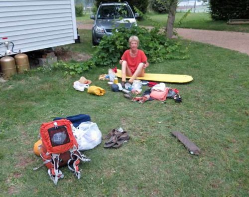
The truth was that I was enjoying being able to complain with relative fluency, and I went off in high spirits to the showers, to discover that the water was actually pleasantly warm.
The rest of the afternoon was spent chasing the ever-moving shade on our patch of grass. It was as hot a day as any we had had on this trip and we were glad that we were not still walking.
As the shadows lengthened, we put up our tent, stacked all our stuff inside, and set off for the village square, going out through the back gate onto the riverbank.
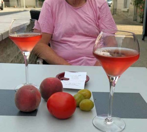
Having checked at the restaurant (le P’tit Bar) that they were serving meals this evening, we visited the small supermarket across the way to get fruit for breakfast, as we had a long way to go tomorrow and no prospect of coffee before our early start.
Then we settled down on the terrace of le P’tit Bar with glasses of the jewel-coloured local rosé (Cabernet de Saumur) and watched the world go by. I rested my arm on the warm limestone wall, which still held the heat of the day as it was fading from the air.
The traffic going past epitomised the two mainstays of the place – tourism and agriculture. Campervans and foreign cars alternated with heavy farm machinery and trucks loaded high with hay.
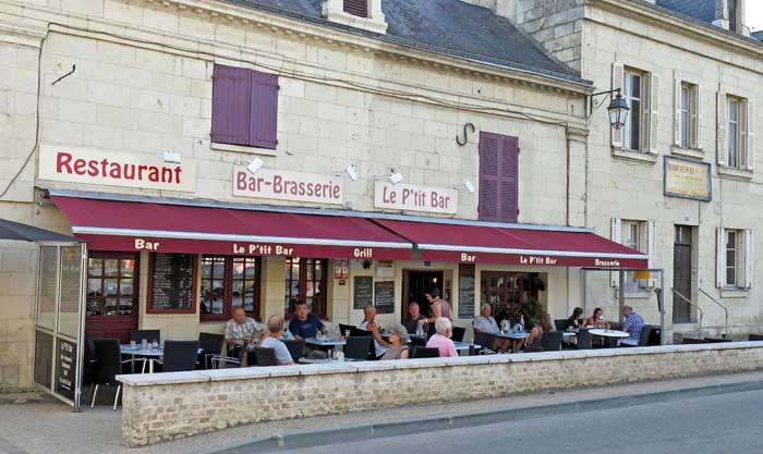
The English and Dutch tourists began ordering their meals at about seven, but we managed to hold on until eight, by which time the terrace was full. We had the €14.90 menu (entrée plus main course) and a half-litre of the local red, which made an excellent meal.
As entrée, Keith had salade aveyronnaise, adorned with ham, sausage and white cheese, and I had a plate of crudities – a great pile of melon, cucumber, grated carrot and beetroot, tomato, lettuce and hard-boiled egg.
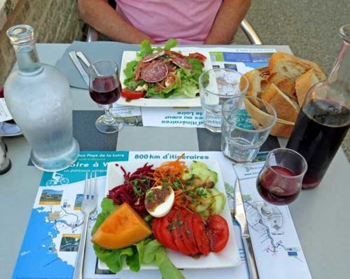
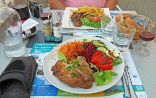
Pressing on, Keith, the steak specialist, had a bavette, while I had poulet noir rôti Maine-et-Loire (that being the department which we had entered at Candes-St-Martin).
This excitingly named dish turned out to be indistinguishable from normal roast chicken, and none the worse for that. As is my habit, I asked for something other than chips, and in their place I got another full serving of crudities, which suited me very well.
It was too much to eat at the time, but I wrapped up the excess in my serviette and slipped it into the plastic bag which had contained the maps for the next two days (after first removing the maps).
Later, while cleaning my teeth at the camping ground, I transferred the food to another bag and in so doing, managed to leave the maps on the washbasin.
Previous day: L’Île-Bouchard to Chinon