Thursday, 18 June 2015
Distance 17 km
Duration 4 hours 0 minutes
Ascent 49 m, descent 25 m
Map 168 of the TOP100 lime-green series
I woke up first and had returned from my ablutions before Keith opened his eyes. While he went up for a wash, I took down the tent, but I somehow left a peg in the ground, a serious thing as we had no spares, but luckily I tripped over it as we were preparing to leave, so all was well, except for my toe.
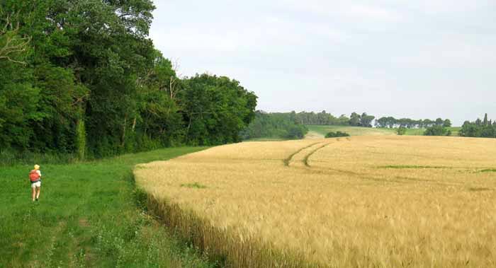
With our portable breakfast of steak sandwiches in hand, we sneaked around the mesh fence onto the canal. The towpath (which was a variant of the GR7) was on the other side of the water, but there was a good grassy track on our side, at least initially, between the dense trees of the canal bank and a field of wheat.
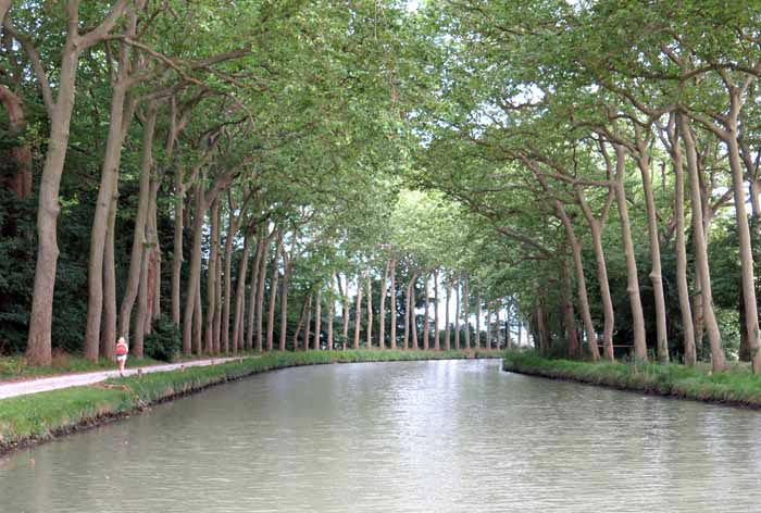
After a while we came to a deep, muddy trench which we managed to scramble across, only to meet an even deeper one just before a bridge over the canal.
We got into it all right, but had to scout around to find a place with enough vegetation to allow us to haul ourselves out onto the road.
Once we had crossed the canal we rejoined the towpath and progress became much easier.
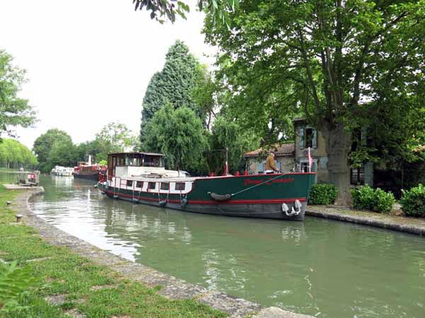
Using our very detailed home-made map, we counted the locks and at the fifth one we crossed over and took a small road through undulating fields to the village of Labastide d’Anjou.
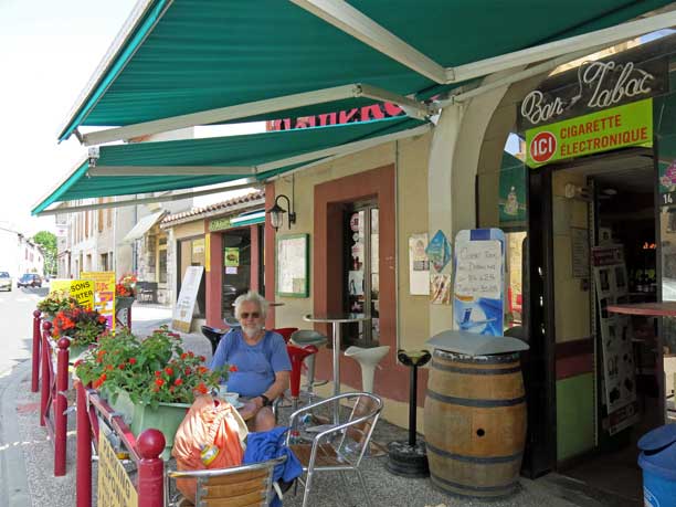
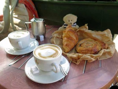
As we reached the main street we saw a hotel with tables set out cheerfully on the footpath. Having found out from the barman that the boulangerie was in a side street behind the hotel, we made a quick trip there before settling down for the first coffee of the day.
It was 10:30 am, just right for second breakfast.
Across the street was a large stone building with a bell tower like a church, but with huge arched plate-glass windows along the side like a market hall – a bit of a puzzle. Perhaps it served God on Sundays and Mammon the rest of the time.
As we left the village towards the highway (the D6113), we went past a shiny new shopping centre, which also included a bar. Useless information for us, but it was good to know that all would not have been lost if the hotel had been closed.
A short distance along the highway we came to the bridge over the Rigole, and turned off onto the gravel path beside it.
The Rigole was in many ways the most important part of Pierre-Paul Riquet’s plan for the Canal du Midi, and gave him the advantage over earlier proposals, which had all failed to find a way to get water to the highest point on the canal. (This water was needed to feed the locks descending on either side.)
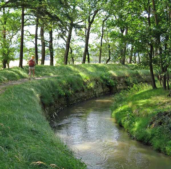
Riquet’s plan collected water from the rainy mountains to the north and held it in a gigantic reservoir near the town of Revel, from where it was released to flow down a narrow, winding channel (the Rigole) to Naurouze.
When work began on the canal in 1666, it had been at least sixteen centuries since the scheme had first been suggested (Augustus, Nero, Charlemagne and Henri IV were some of the big names who had dreamed of linking the Atlantic and the Mediterranean in this way). The first boats used the canal in the remarkably short time of five years after construction began.
We had walked down the Rigole (aptly named as it was indeed very wriggly) in 2004, but we had branched off just before its junction with the canal, so we were pleased to be finishing the job now.
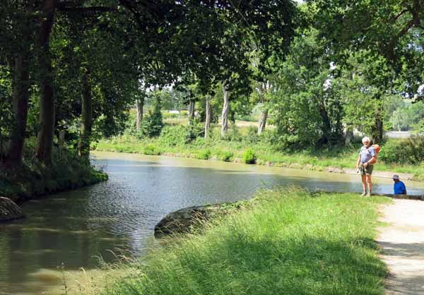
The path was pleasantly shaded and we meandered along without trouble, arriving after twenty minutes at what used to be an octagonal reservoir, but was now just an octagonal park with the Rigole around its perimeter – the reservoir had silted up in the first couple of years.
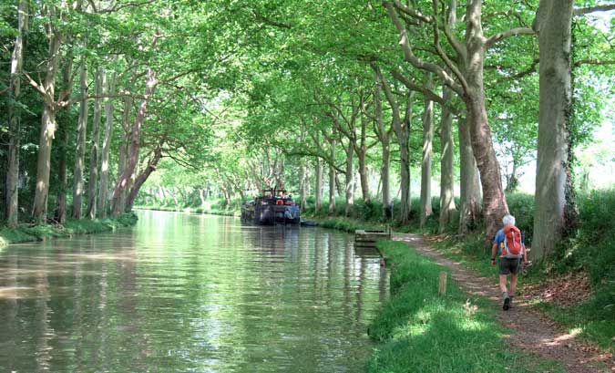
A few steps further on we came out onto the bank of the canal itself, a surprisingly exciting and moving moment.
Turning right, we soon came to the first lock on the westward side, l’Écluse de l’Océan. This name refers to the Atlantic Ocean, whereas the first lock to the east (where we had turned off) is called l’Écluse de la Méditerranée.
It felt strange seeing the lock facing away from us, after five days of the reverse. In passing we admired a plaque to Thomas Jefferson, who made a holiday trip on the canal in 1787 while he was ambassador to France, and took a great interest in its workings.
The trees along this stretch of the canal were particularly large, their branches interlacing over the water to protect us from the fierce midday sun.
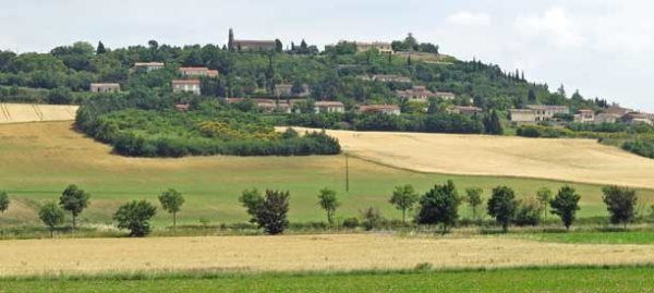
From this shady tunnel we could see, beyond the bright fields, the village of Montferrand, which had so disappointed us in 2004 that we had marched down to the road through a wheat field, vowing never to return.
We passed under a railway line, then an autoroute, and at the next road bridge we crossed the canal. The camping ground was two or three kilometres further along on this side of the canal.
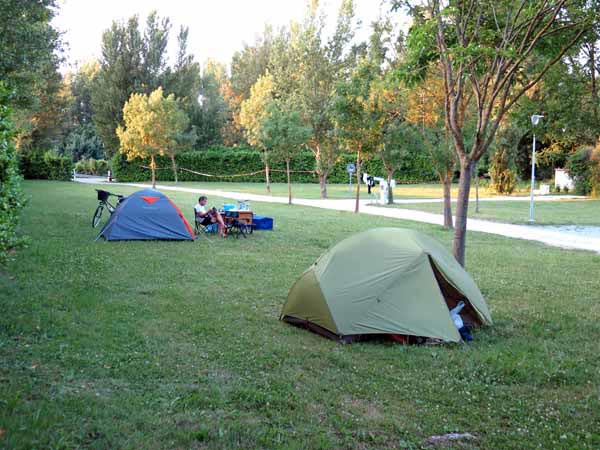
It looked inviting, unlike some in this corner of France. The grass was thick and green, dotted with young trees, and there was a high hedge on one side. The woman in charge was having lunch in her little caravan-cottage and asked us to come back at 6 pm to pay.
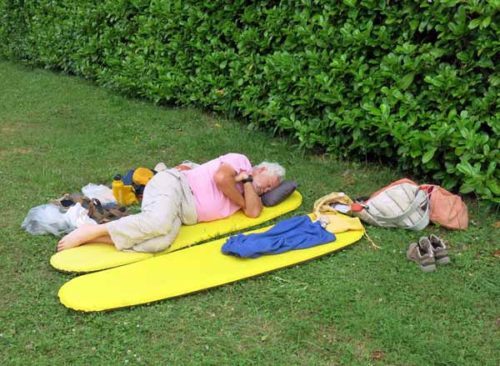
We had excellent showers, hot and adjustable, then sat on our bedrolls for a token lunch of muesli and dried fruit. We no longer bothered with muesli in the mornings, but sometimes it seemed a good idea in the middle of the day. After that we lay on our mats near the hedge, which cast more and more shade as the afternoon progressed.
At 6 pm we presented ourselves at the table that madame had set up outside her cottage, and paid our €12. We also asked her about the possibilities for dining in the village tonight, and were horrified to hear that there was nothing.
Last time we had been here, in 2004, we had managed to get a meal at the Hotel l’Obélisque, but those times had passed.
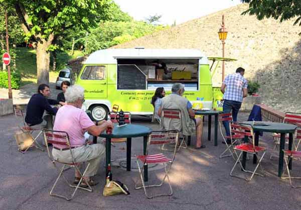
Then a couple who were waiting behind us to pay, said that they had just been into the village by bike and had seen a food van setting up outside the Mairie, and that they were going back there soon.
Madame then remembered – it came to Avignonet every Tuesday and Thursday. It was Thursday, so we felt that this made up for our bad timing in Carcassonne.
We walked in to the village, passing over the canal, the autoroute and the railway line, and arrived in the main street just in time to get our foot through the door of the épicerie at one minute to seven. We needed to buy a bottle of wine to go with our take-away dinner, and the shop woman kindly loosened the cork for us.
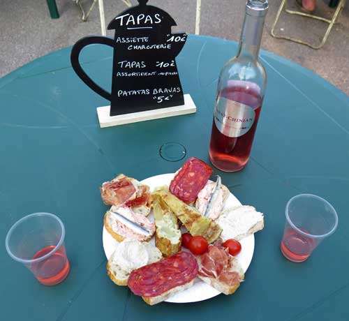
Outside the Mairie we found the promised van, and it was not as we had supposed. There were tables and chairs arranged on the forecourt, some of them already occupied, and the menu was not the usual pizzas, but platters of tapas and charcuterie, and lovely home-made salads and hamburgers.
The man also sold bottles of wine, so we put our new purchase under the table and bought a bottle of cold rosé instead. Our benefactors from the camping ground sailed in on their bikes and said to the man that they should get a discount for introducing us to his service. We all laughed.
It was a beautiful balmy evening and the locals turned up with their children and dogs, to enjoy the experience of dining out.
Behind the Mairie was a grassy park, where said kids and dogs could roll about after they had eaten. Beyond that again was the fantastic arcaded steeple of the church, with its pepper-pot tower.
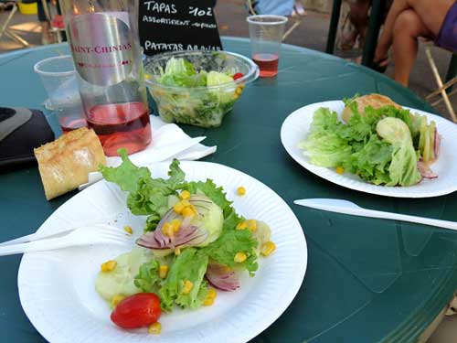
We began with a tapas plate which was varied and delightful, with two of everything so there were no fights. Then we got a baguette and a salad, which came in a plastic bowl and was enormous, fresh and crisp.
By the time we got through that we discovered that we were full, so the rest of the menu had to remain untried.
Thus, once again, what could have been a lonely, dreary evening in the camping ground became a convivial feast.
It was a good way to end our traverse of this little corner of France. Tomorrow we would be on the train for Burgundy.
Previous day: Alzonne to Castelnaudary