Monday, 19 June 2017
Distance 30 km
Duration 7 hours 20 minutes
Ascent 493 m, descent 676 m
Map 143 of the
The trouble with tourist towns is that the bars do not cater for early risers, as normal towns do. Consequently we made do with muesli for breakfast for the first time this year.
We sat at a table beside the tennis courts, under a line of young trees, and pulled out the bags of muesli, dried fruit and milk powder that we had brought from home.
The result did not compare with a breakfast of hot coffee and croissants, but it was nice enough.
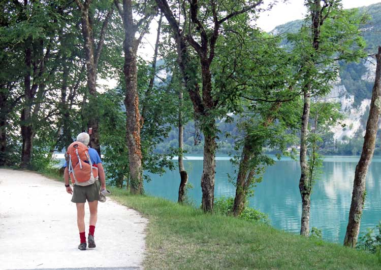
By 7 o’clock we were well advanced along the side of the lake, on a cycle path which was only separated from the roadway by a line of bollards.
On the other side of the road was a railway line and there was no room for anything else, as the scrubby cliff pressed close against the shore, and was topped with unstable looking overhanging bulges known as the Devil’s Fingers.
The cliff was braced with mighty fences, ready to catch whatever portions might come loose, but they did not look very reassuring.
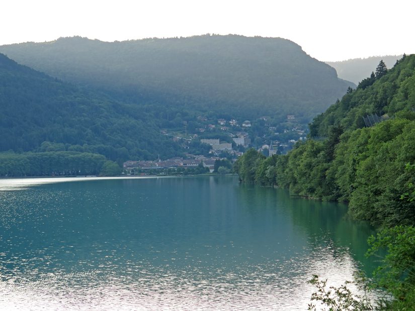
Looking back over the milky waters of the lake, we could see the town tucked in picturesquely at the base of the mountains that we had walked over yesterday, a charming sight.
After a couple of kilometres we reached the end of the lake and strolled over wide fields as flat as pancakes.
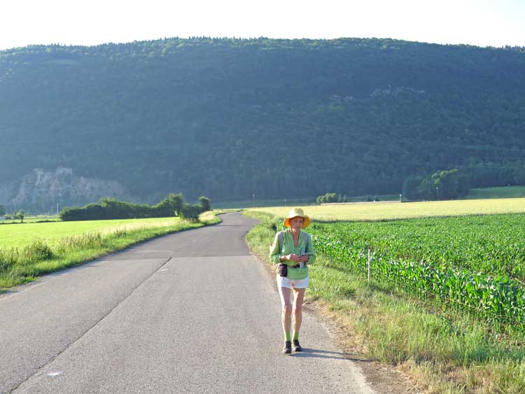
We crossed the autoroute (the A404), then turned onto a little road that looped around and degenerated into a wheel track as it approached a sharp forested ridge, the Mountain of Nurieux, which barred our way.
Luckily for us, the wheel track turned and continued, perfectly level, along the foot of the mountain.
A kilometre of this shady walking brought us to the end of the ridge and out into open country again, and before long we were on the bitumen again, coming in to the village of Nurieux, where a new TGV line was being put in beside the old derelict railway track.
To our relief, the bar on the highway was open – Monday is always a doubtful day for bars – and several drinkers were taking their ease in the shady courtyard.
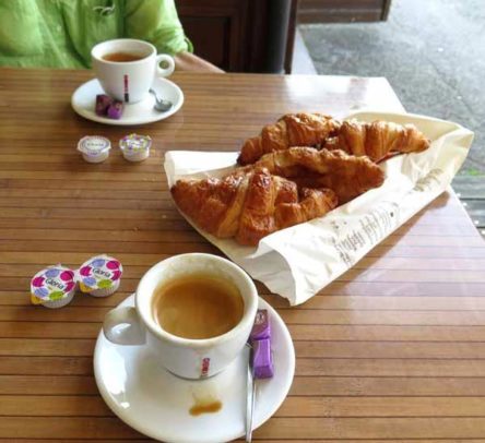
We sat down and asked for coffee and croissants, to which the waitress replied that they had no croissants (the Monday factor again).
However one of the customers obligingly said that he would see what he could do and disappeared, coming back with a bag of four croissants, to our great joy.
They were yesterday’s but we were happy to have them and we only paid a euro for the lot. We thought later that he was probably the boulanger on his day off.
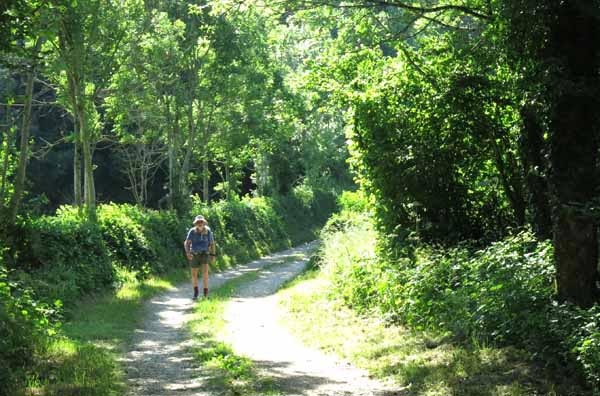
Suddenly restored to full energy, we set off again, climbing a small road that circled around the hamlet of Mornay, then became a wheel track, still climbing.
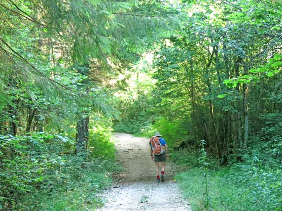
It was a pleasant walk, with deciduous trees and green hedges on either side.
Near the village of Napt we joined a tar road and came to a war memorial with a carved eagle on the top and a list of the village boys who had died in World War 1.
Their deaths were variously described as “from wounds”, “from sickness” and “on the field of honour” (i.e. killed on the spot).
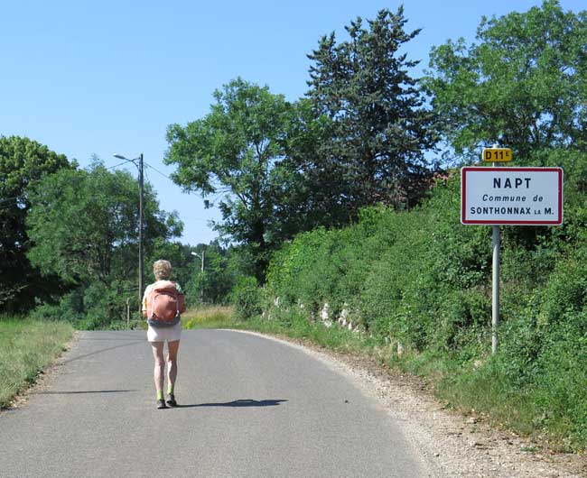
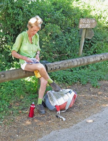
We sat on a railing and ate some chocolate, then started downhill.
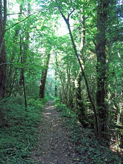
After a few minutes we left the road and took a fast-falling track, more of a tunnel than a path, through the dense forest, crossing the road at one of its hairpin bends and passing under a railway line (which turned out to be the same TGV line that we had seen being built at Nurieux).
The way was stony and the air was filled with small white butterflies, like a summer snowstorm under the trees.
When we got to the bottom of the arduous 300 metre descent, we joined a road that took us even further down, below the village of Bolozon, so that we had to climb up again to the church square, which seemed a bit of a waste.
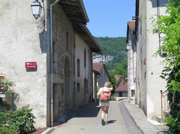
Not much was happening in Bolozon, in fact we saw nobody, although it looked a pretty little place, so we pushed on along the D916 until we came to the river Ain, basking between its green banks.
It was midday by now and we started to fade slightly as we trudged along beside the river in the punishing sun.
At one bend there was a power station of some sort, presumably hydro-electric, from which high-tension powerlines marched in every direction.
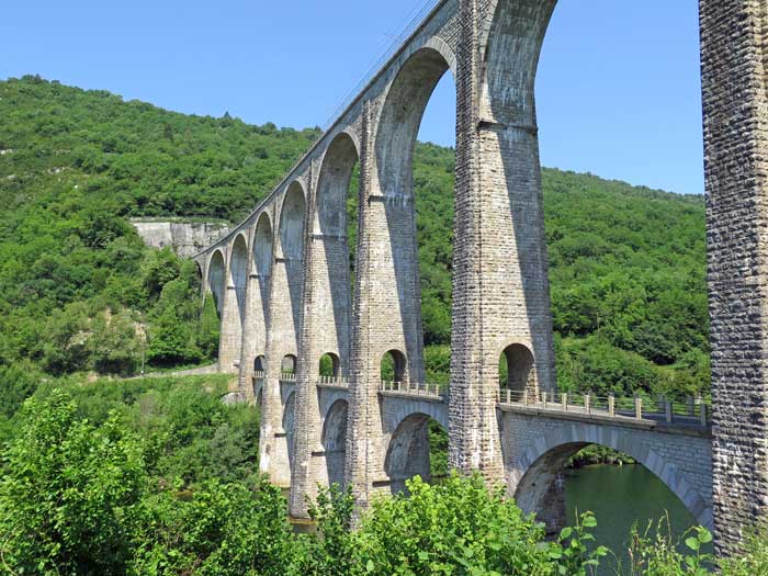
A couple of kilometres further on we came to the great stone double-storey bridge over the Ain. The lower level is a road and the upper one a railway, and its construction was begun in 1872.
Towards the end of Word War II, it was decided to damage it slightly to impede the retreat of the Germans, but the shocking result was that the whole thing collapsed into the river. Somehow it was back in operation by 1950.
Once over the bridge, we rested for a moment and had some more dried fruit, then took a small rising road to the village of Cize, a tiny place with a large, majestic Mairie, fronted by immaculate lawns and flower beds. Noticing a tap in one of the gardens, we took the chance to refill our water bottles, which turned out to be a good idea on the next part of the track.
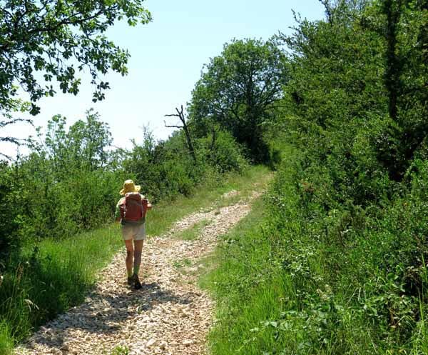
Beyond Cize we found ourselves on a farm road, pleasant enough at first, but then taking off up the forested flank of yet another knife-edged ridge, shadeless, steep and unstable. This was the fourth time today that we had climbed one of the obstructing fingers of the Jura massif.
We laboured on ever more slowly, slipping on the loose stones underfoot, cursing the pitiless sun and our folly in ever deciding to come here. At least we did not run out of water.
It seemed to go for ever, but at last we came to a sharp turn and soon afterwards arrived at the crest of the ridge, just at the entrance of the village of Grand Corent.
This was little more than a crossroads, making us wonder what Petit Corent must be like (we found out later that it does exist, a bit to the north), but from our point of view it was excellent, perched on the very blade of the ridge with all the country beyond falling away.
A small road took us down gently for a kilometre or so, where we branched off onto a track that had all the virtues – it was easy to follow, not very steep, soft underfoot and shaded by tall trees.
Certainly it went for a long way, but in due course we emerged from the forest and saw the green water meadows of Simandre stretched out in front of us. It really felt as if we had emerged from the endless folds of the Jura and were on our way to a period of easier walking.
However, our day’s walk was not over yet. After crossing a railway line, we walked a surprisingly long way on a road through the fields before we came to the town. At the bridge over the Suran there was a bar where we stopped for coffee and a big jug of water, feeling tired and hot.
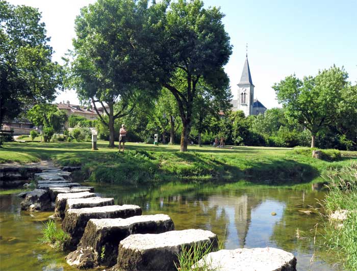
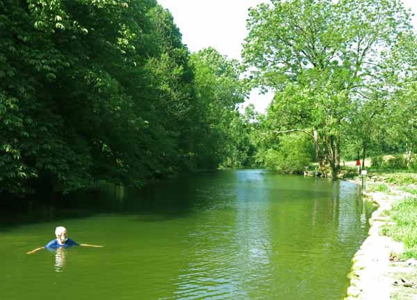
Just across the river we could see the camping ground, which was also a public park, with lawns, shady trees and a line of stepping stones across the stream.
This stream had been dammed to form a pleasant swimming pool, and groups of people, many of them children, were playing in the water or relaxing under the trees – an idyllic scene.
Simandre was a strange village, as it had almost no shops, but a large, thriving Logis hotel, which fortunately was just opposite the camping ground and park.
On our way we called in at the hotel to make sure that we could eat there tonight, as it was Monday and therefore doubtful. There was no problem, so we were spared from a dismal dinner of cheese and water.
There were no other campers in the park, and the shower block was locked, so instead of a shower, we had a cleansing swim in the pool.
After a while a young chap arrived on foot and set up his tent. We thought he was a fellow walker but he actually had a car parked up on the street.
As he had a mobile phone, he rang the manager of the camping, whose name was Mélanie, and she arrived to unlock the facilities (which was just as well, because in the middle of the night I got an attack of the runs).
While she was there, we paid our dues of €6.44 for the night’s accommodation.
At 7:30 pm, dressed in our better set of clothes, we presented ourselves at the hotel.
Despite the early hour, there were plenty of people already eating under the trees in the courtyard, and we joined them.
To begin we had a glass of rosé each – an inordinately large one, not that we complained – and then we set to work on the €14 menu.
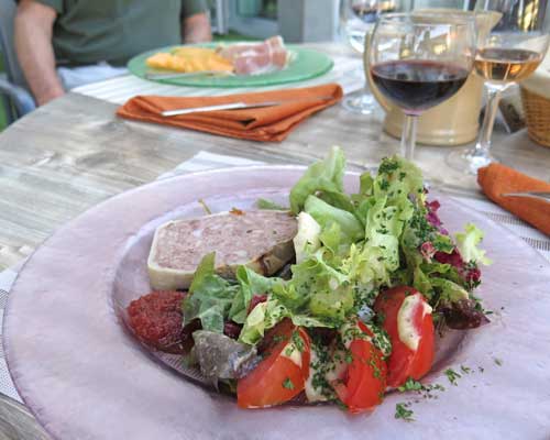
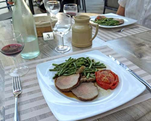
Keith had ham and melon as an entrée, while I had paté and salad. Then we both had the dish of the day, roast beef with vegetables.
To finish, Keith had crême brûlée, continuing the fieldwork for his forthcoming PhD thesis entitled “Regional Variations in Crême Brûlée in France”.
I ordered cheese, which disappeared into my ever-ready plastic bag as future lunch food.
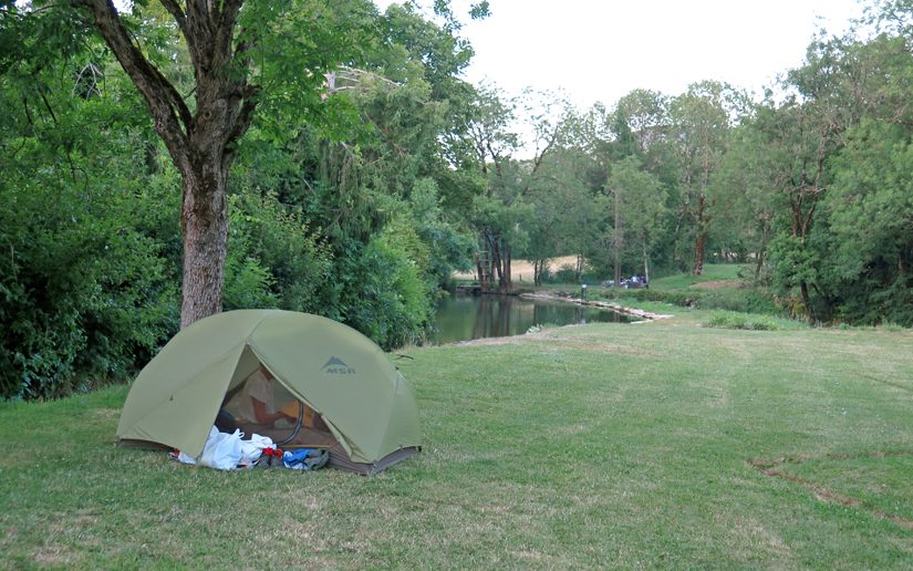
A short stroll later we were tucked up blissfully in our tent.
All the swimmers and picnickers had disappeared and we were alone with the one other camper, who appeared to be already asleep.
In a short time we were in the same happy state.
Previous day: St-Germain-de-Joux to Nantua

