Thursday, 17 June 2004
Distance 13 km
Duration 2 hours 35 minutes
Ascent 158 m, descent 48 m
Map 64 of the TOP 100 blue series (now superseded)
Topoguide Le Chemin d’Arles (blue cover)
Topoguide (ref. 716) Traversée du Haut Languedoc

As is our habit this mild summer, we bought some croissants on our way into town and ate them with large coffees in the square. The coffee was very expensive, over €7, but we thought it good value considering the beauty of our surroundings.
Just out of town to the south-west we met the Rigole of the Plain, which is the channel feeding water from the Black Mountain to the high point of the Canal du Midi. This little waterway was dug by hand in the seventeenth century as part of the grand vision of Pierre Paul Riquet, the designer of the canal joining the two seas of France.
The labour that must have gone into digging it, let alone that involved in the canal itself, took our breath away. It was a most serpentine stream, following every contour of the land, so our progress was slow, but the path was well-made and shaded by formal rows of pines, oaks and plane trees.
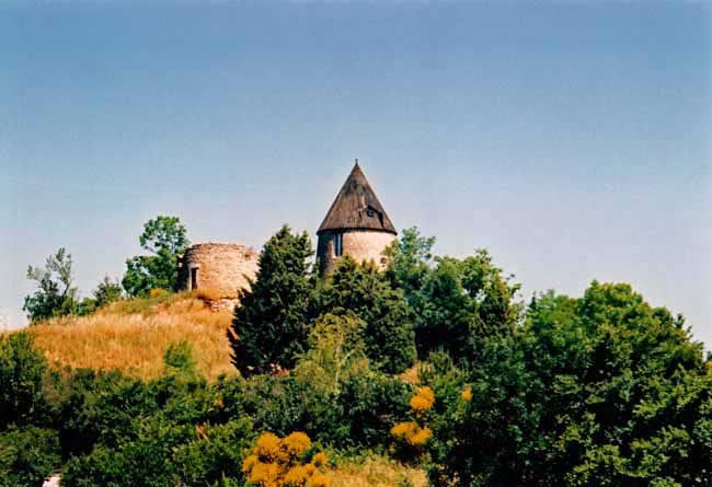
After six kilometres we had to leave it, as we had conceived the idea of visiting Saint-Félix-Lauragais, which was a similar distance away on the road. This was not nearly as enjoyable a walk, with the traffic, the glaring sun and the relentless rising gradient, but at last we made it up a final sharp pull to a natural promontory adorned with windmills, and on to the village itself beyond a massive rampart.

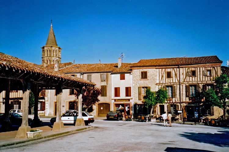
The square was another medieval gem, although without the arcades of Revel. We ate our simple lunch under the stout oak beams of the halle, then retired to the hotel-bar a few steps away, where cheerful umbrellas promised a period of ease.
We knew there was no camping anywhere near, so we took a room with a view onto the square.
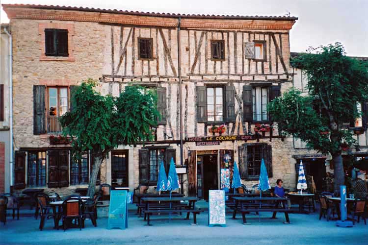
This hotel was the oldest building in the place (800 years). Its name, la Cocagne, recalled the mythical land of plenty beloved of the poor, where roasted pigs wandered streets paved with pastry, rivers flowed with wine, the peasants lorded it over their masters and everyone was forever young.
Our little pot-bellied host brought coffee and we sat under an umbrella reading the brochures he provided. It was not only the Land of Cockaigne we were entering, but also the land of the Cathars, a much darker place. Languedoc was a centre of the Cathar (or Albigensian) heresy and the first Cathar council had been held in this very village in 1167.

They believed in a dualism between their god of spiritual love and an evil god of fleshly and material things, which obviously put them out of favour with the magnificent Church of Rome.
In their rejection of worldly power they were precursors of the Protestants three centuries later, but unlike the Protestants, their suppression was ruthless and complete.
The château in Saint-Félix-Lauragais, of which only the tower and rampart go back to the time of the Cathar council, gives an expansive view of the Lauragais as far as the Pyrénées. It was easy to believe that this vantage point has been inhabited since the stone age. The church has a fine tower also, but younger, only fifteenth century.
After our afternoon sleep we descended for apéritifs at the outdoor bar and ate our dinner in the same place. They are famous for their cassoulet so Keith had that, and I had piece of beef with prettily prepared vegetables – a square of frittata, a parcel of green beans tied with bacon and some ratatouille. There were several other couples eating there, but whether they were also guests we never found out, as the upper floor seemed deserted.
Previous section: Labastide-Rouairoux to Revel