In medieval times, this was the most westerly of the four traditional pilgrim routes.
It was a fairly movable feast, with several strands running roughly parallel in a southerly direction. It catered for pilgrims from the Low Countries, Paris and Britain, and converged with two of the others at Saint-Palais in the Pyrénées, before crossing into Spain for the final push to Compostela.
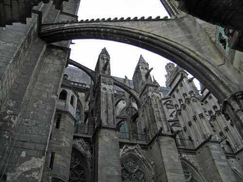
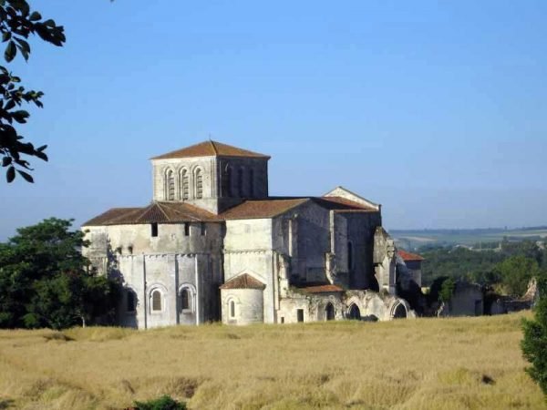
It is probably the easiest walking of all the pilgrimages. The countryside is flat and fertile, with many poignant historical remains going back to Roman times and even earlier.
The traditional route, or one of them, has been replicated by a marked pathway called a Grande Randonnée (GR). The Way of Tours is the GR655, and there is an accompanying guide book put out by the French Walking Club, the Fédération Française de la Randonnée Pédestre, commonly known as the FFRP (see Maps and Guides).
There is also an alternative marked track, very similar to the GR655 but not identical, managed by the Amis de Saint Jacques, a religious organisation.
To get the maps and guides for these, it is necessary to acquire a créanciale (or crédentiale), a sort of religious passport, either from your local bishop or from a cathedral or Office of Tourism in France. The créanciale also entitles you to stay in special refuges.
These pilgrim refuges, called “gîtes d’étape” provide basic overnight accommodation and often a communal dinner as well. The food is plain but plentiful and the atmosphere around the table is usually very congenial. Pilgrims can have their créanciale stamped with the name of the gîte, and can leave comments in the “Livre d’Or” (the book of gold).
It took us 14 days to do this walk.
Our route for this walk
The diary has been broken up into the following sections:
Poitiers to Brioux-sur-Boutonne
Brioux-sur-Boutonne to Angoulême
To see icons for each night’s accommodation on this map, press the full-screen symbol at the top right and then tick the accommodation icon box at the top left. Zoom in on a particular icon to see its precise location. These accommodation icons are also shown on all section maps.
You can also see this map using Google Earth and take a virtual flight along our route.