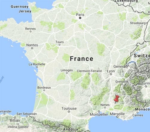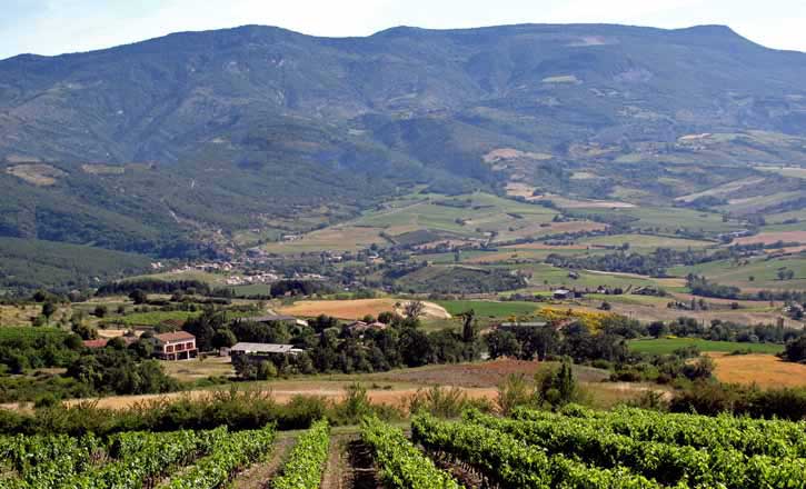
This walk (the start of a longer walk that we did in 2012) crosses the Baronnies, a mountainous area that is much less well known outside France than its neighbour to the south, Provence.
The Baronnies are wilder, steeper and less populated, but there a lot of similarities, such as fields of lavender, fruit trees and vines, olive groves, ancient villages, oak forests and the typical stony white ground of the south.
The massive bulk of Mont Ventoux, that famously hard stage of the Tour de France, separates the two.
We took four days to make the crossing from Rémuzat to Sault, and found it fascinating, although somewhat difficult in parts.
We suspect that the difficulty was more due to our lack of condition and inadequate maps than to any inherent challenge in the route.
Getting to Rémuzat
From Paris we got the TGV to Valence, where the station interior was new and air-conditioned, a good place to have lunch.

Then we caught a normal train to Valence-Ville and changed to another which delivered us to Montélimar. Because we had Prem tickets, the whole rail journey only cost €95 for the two of us.
After a night in this attractive little town, we got a bus to Nyons, passing through a landscape of olives, pines and vines punctuated by outcrops of limestone and the odd Roman ruin.
The final stage of our journey was on the afternoon school bus returning children to the villages further up the valley.

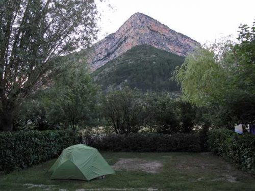
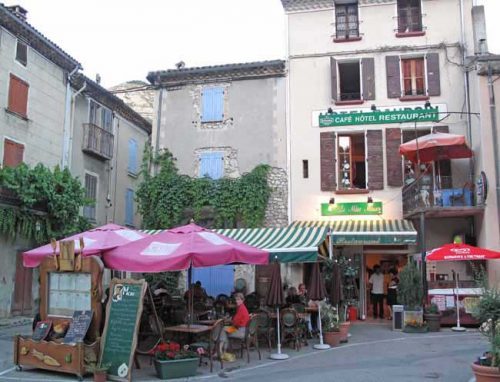
Arriving at Rémuzat just before 6 pm, we had time to put up our new tent for the first time, and have showers before strolling down to the village square for drinks.

We ate at the hotel, which was doing a great trade. We shared a salad, and then had entrecôtes, consuming all the bread, wine and water provided. As soon as we had finished, we walked back to the tent and fell into a blissful sleep.
Day 1: Rémuzat to Sainte-Jalle
Day 2: Sainte-Jalle to Buis-les-Baronnies
Day 3: Buis-les-Baronnies to Montbrun-les-Bains
Day 4: Montbrun-les-Bains to Sault
This map shows accommodation icons for each night. Zoom in on a particular icon to see its precise location.
You can also see this map using Google Earth and take a virtual flight along our route.