Monday, 25 June 2012
Distance 25 km
Duration 7 hours 15 minutes
Ascent 1053 m, descent 830 m
Map 164 of the TOP100 lime-green series
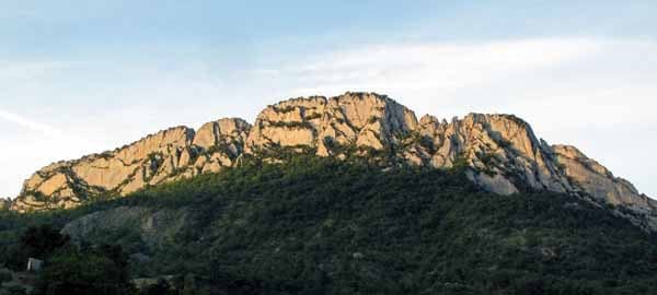
The bare spine of rock that we had seen hanging over the town yesterday looked more ominous than ever when we rose, and we fervently hoped that the track would not go that high.
We left early (6:30 am), sneaking out like thieves from the silent camping ground and taking the road uphill, where we discovered that there was a second large area of tents and caravans on the other side of the swimming pool.
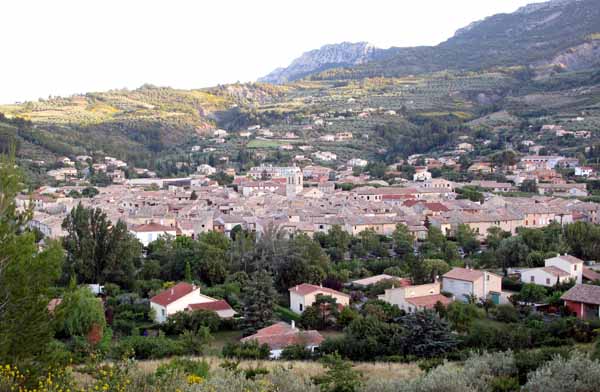
Soon we left the houses behind and zig-zagged up on a small tar road. Below us the town with its sturdy church tower lay in morning shade.
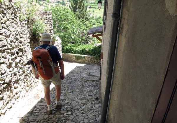
Signposts said that we were heading for the old abbey church of St-Julien, but before we got that far, the GRP struck off to the left on a stony white track and threaded its way up a hillside of stunted oaks.
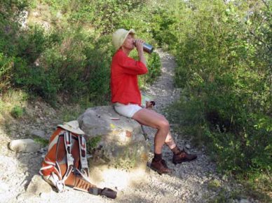
It was a long pull to the base of the rocky spine, but when we got there the track levelled off. We walked for a while through a flowery glade, enjoying the easy gradient, but then we began climbing again, even more steeply.
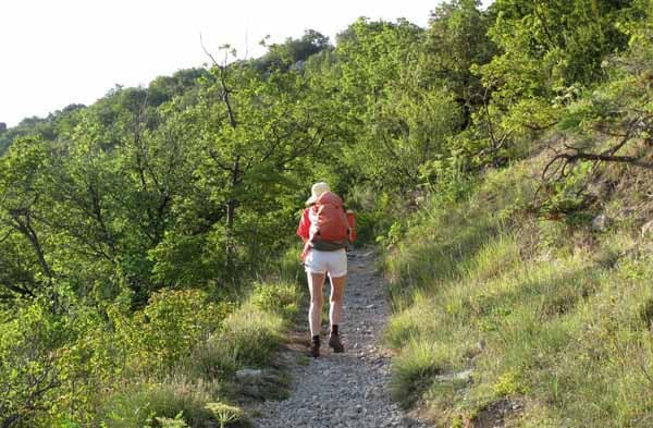
On either side the ground fell away and ahead a great wall of rock leaned out over us, but the track veered to the right and we scrambled up to a sort of saddle, where there was a signpost in a grove of pines.
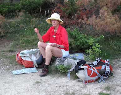
Here we sat down for a rest, as we had been going for almost two hours. The last of the cherries made an excellent snack. Looking back, we could see the spine of rock that we had dreaded, now far below us.
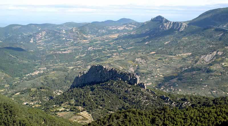
According to the signpost, the Col de la Nible was 1.2 km away and we hoped that most of our climbing was done, but we were wrong.
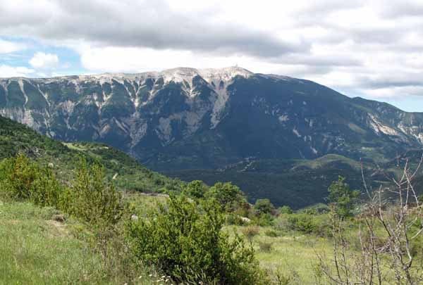
The path continued steadily upwards for quite a distance, with Mont Ventoux enormous across the valley, then did a sudden switchback to the left and shot up at a crazy angle towards the skyline.
When we hauled ourselves, panting and groaning, onto the ridge crest we had only a short walk along the flat to reach the sign announcing the Col de la Nible.
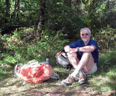
Here we cast ourselves gratefully down in a grassy clearing. It was like a little high-rise room, enclosed by pines but open on one side to the valley of the Ouvèze and the mountains to the north that we had come over in the last two days. The village of la Roche-sur-le-Buis lay beneath our feet.
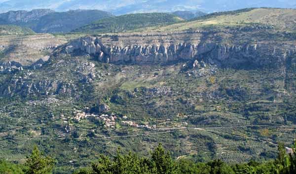
Fortified with dried peaches and a lot of water, we set off again and this time we were really on the way down.
Before long the forest gave way to neglected fields and ruined drystone walls, the remains of the old farm of la Nible.
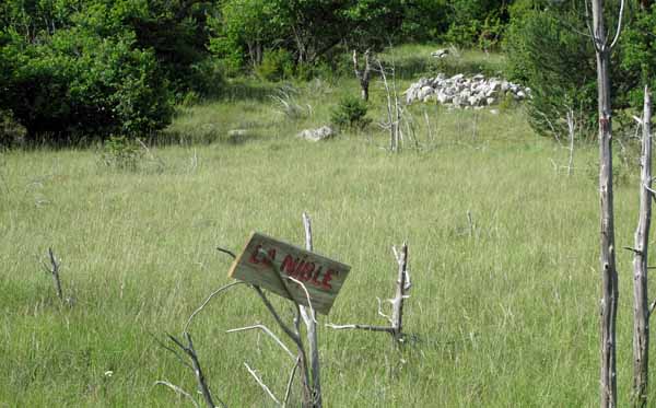
The narrow path became a wheel track and plunged towards a saddle through a mass of encroaching vegetation, not yet high enough to obstruct the view.
To our amazement we met three elderly cyclists labouring up the track, out for the day from somewhere whose name we did not recognise. This made us think that we were close to civilisation, but when we got to the saddle, there was nothing but a sign informing us that were at the Col de Font Combran. To the right the GRP descended to the valley but we went the other way, on the GR9.
The wheel track looped down and we found ourselves at an abandoned farmhouse, much patched and repaired, with tools and equipment still rusting in the shed.
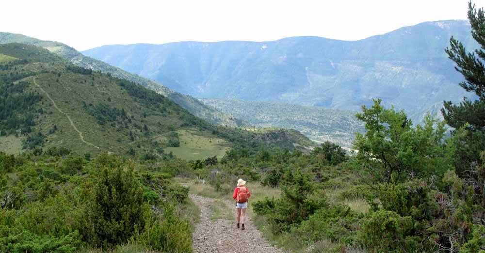
It was a sad sight, too sad for a lunch spot, so we kept going a little and had our picnic beside the dirt road.
I sat on a soft looking clump of greenery and stood up again abruptly, with prickles in my backside. The bread was yesterday’s but we had cheese and some steak that I had saved from last night’s dinner, so we ate well.
Continuing on the farm road, which clung to the side of a forested ridge, we eventually came out on a clear hillside.
Mont Ventoux was visible again to the south, a great dark shape with a mantle of white trickling down its sides. One branch of the GR dropped off the edge of the dirt road, but we stayed on the road, which curved down to a saddle where there were open fields and building or two (les Flaux).
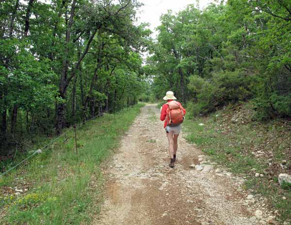
The road became bitumen and we arrived at a crossroads. On the map we could see a good short cut, so at this point we abandoned the GR altogether and set off on what we hoped was the right road.
It certainly seemed promising, descending mildly through grassland in a south-easterly direction, and we started to feel pleased with ourselves, when suddenly the road stopped at a farm gate. A sign announced that it was the farm of Aramond and private property.
For an awful moment we thought we would have to go back to the crossroads, a terrible humiliation, but then we noticed a muddy track beside the fence and decided to give it a try. Unless it petered out altogether, it would probably take us somewhat nearer our destination.
We stumbled along the rough, rocky way, encouraged by tractor marks here and there, and then began a huge descent through the forest.
As we went along, the track became a definite gravel road again and eventually we emerged onto a bare hillside with a farmhouse visible far below.
Past a newly built stone cabin, the road made a last plunging hairpin bend and we passed a couple of broken-down, unoccupied farmhouses on our way to the present farmhouse on the valley floor. The name ‘la Gabelle’ on one of the old houses told us where we were.
When we hit the bitumen at the bottom, the first thing we had to do was to climb again.
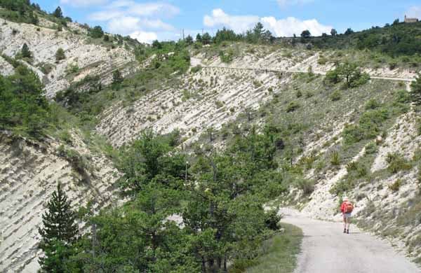
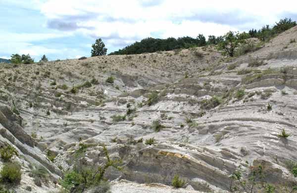
A steep ascent confronted us and on both sides the land was shockingly eroded, with grey, shifting sand held back by ribs of rock. A few brave plants struggled to hold on amongst the devastation.
At the top the road forked and we started steeply downhill towards the D159. All the way there was erosion on a scale that we had never seen.
Just before the highway there was another hairpin bend, and then all of a sudden we were beside the river, surrounded by greenery and very glad to be out of the wilderness.
The D159, unlike all the other roads we had been on today, had cars on it, but not many – and probably as many bikes as cars.
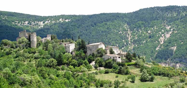
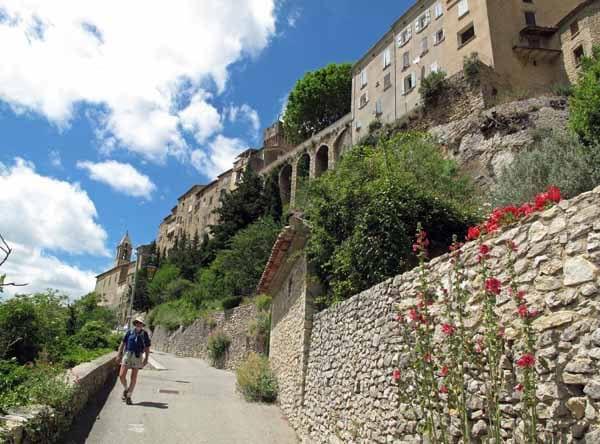
In half an hour or so we saw the towers of Montbrun-les-Bains ahead on the hillside, and took a little side road to get to it.
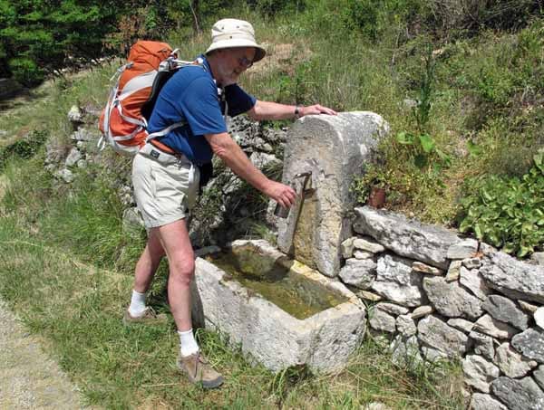
By this time we had run out of water and were wilting fast, but we came to a stone trough with spring water trickling into it, and filled our stomachs and our bottles with the delicious liquid.
After a last stiff climb, we entered the citadel, the old part of the town, through a portal in the defensive wall, and wandered around looking for some sign of life. There seemed to be nothing but a jumble of small houses within the walls.
A woman came out of one of them and directed us down the other side to the commercial centre of the village on the main road. It was surprisingly unprepossessing for a Plus Beau Village, but no doubt the honour was for the citadel.
Exhausted, we sat down as soon as we came to a bar and ordered our first coffee for the day. The owner of the place, taking in our broken-down appearance, also brought us a carafe of water. He was curious to know where we had come from.
When we mentioned Buis-les-Baronnies he rolled his eyes in horror. He told us that his primary school class had once done the traverse to Buis-les-Baronnies (having been driven to the abandoned farmhouse) and it had almost killed them.
There were several other eateries and a hotel along the main road, all open in the evening, so we could relax about that.
On the corner where we turned off to the camping ground, a strong, delightful perfume filled the air and looking about we noticed a lavender-oil distillery behind the trees, with big drums piled against the wall.
The camping ground was tucked in behind the houses, next to the municipal swimming pool, which was closed, although it was over 30 degrees. The logic behind the opening hours of French pools remains a mystery.
However, the camping ground was well occupied. It consisted of a series of terraces, mostly gravel-covered and occupied by caravans, but one was grassy and there were various small tents pitched along it.
While I went to have a shower, Keith decided to put up the tent by himself. It was not difficult, but as soon as he got it assembled, before he could peg it down, a gust of wind sent it somersaulting over the ledge.
Several portly fellows from the caravans rushed to help him rescue it and there was general laughter and hand-shaking.
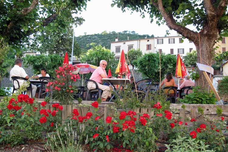
For the rest of the afternoon we lay about on the grass and at 7 pm we strolled back to the village. The bar that we favoured was set high above the street under spreading trees.
The sun was about to set behind the citadel and until it did so, we had to make do with the partial shade of the trees and the umbrellas.
After our aperitifs we decided to eat there too. The place was a galetterie, specialising in the ancient grain “le petit épautre”, which was also the name of the establishment.
This grain, known as spelt in English, was the earliest cultivated form of grain and is now popular in High Provence, where it often shares the hillsides with lavender.
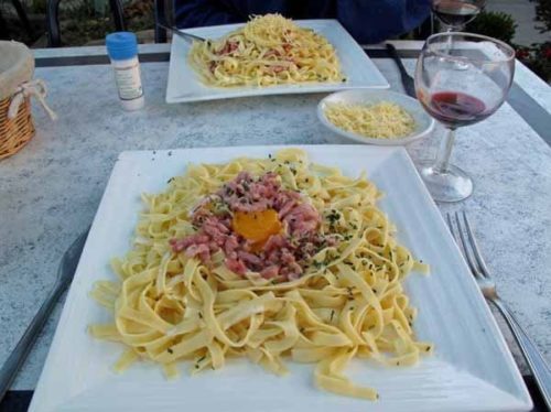
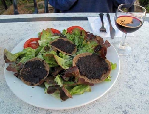
Our first course was a salad, decorated with small flat cakes of petit épautre spread with olive tapenade, a regional delicacy. After that we returned to conventional eating with a plate of pasta each.
The whole meal, including the aperitifs, bread and wine, cost €30.50.
Before returning to our tent we walked down the main road to make sure that we could find the point where the GR turned off, which was our way for tomorrow.