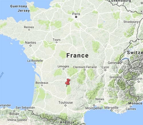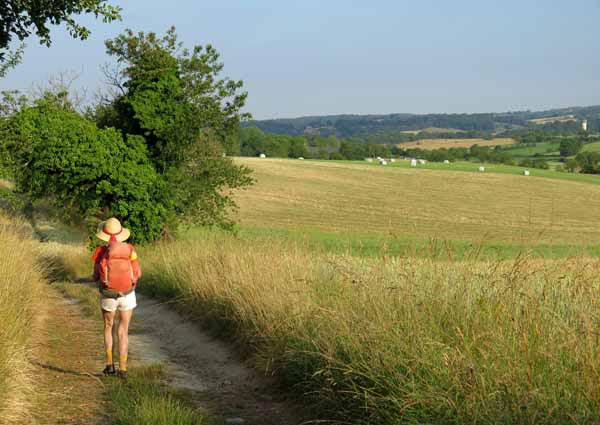
This four-day traverse of the Causse de Gramat was part of a longer walk that we did in 2014. The Causse de Gramat, the northernmost of the causses of Quercy, is the limestone country that lies between the valleys of the Lot and the Dordogne.
Quercy was one of the provinces of pre-Napoleonic France and its history of repeated invasion reflects what a prize it was. After the Roman conquest it was part of Aquitania prima until it was overrun by the Franks in the sixth century.
By the tenth century its rulers were the ubiquitous counts of Toulouse. During the Hundred Years’ War it was claimed by both France and England and eventually ceded to England, an unstable state of affairs that only lasted for a few decades.
Later it became a bulwark of Protestantism and suffered appallingly during the Wars of Religion in the sixteenth century. Then there was the revolt of the nobles known as the Fronde, the chaos of the Revolution and the two World Wars of the twentieth century. At the moment the area is at peace.
From Figeac we went north to Lacapelle-Marival, which was at an intersection of ancient trading routes, and then to Gramat on the river Alzou.
The countryside that we traversed was mild and amiable, a coverlet of fields and woods laid over the reclining form of the land.
From Gramat we followed the deep gorge of the Alzou to Rocamadour, and the following day the placid meadows beside the Ouysse, crossing the Dordogne at one of the most convoluted sections of its course.
On the last few kilometres into Souillac we were obliged to walk on the road, as there were cliffs on one side and the river on the other. It was tedious, but easy enough. Souillac, with its great rambling abbey, was familiar to us from an earlier trip and a pleasant place to revisit.
Getting to Figeac
Figeac has a railway station so you can get there from almost anywhere in France.
Day 1: Figeac to Lacapelle-Marival
Day 2: Lacapelle-Marival to Gramat
Day 3: Gramat to Rocamadour
Day 4: Rocamadour to Souillac
This map shows accommodation icons for each night. Zoom in on a particular icon to see its precise location.
You can also see this map using Google Earth and take a virtual flight along our route.
