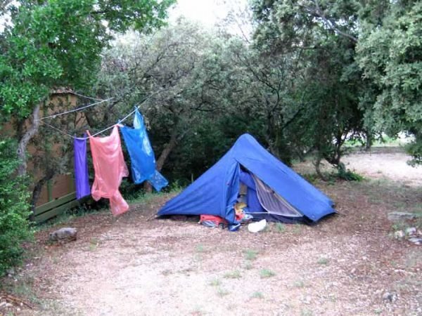
Tuesday, 19 June 2007
Distance 26 km
Duration 6 hours 40 minutes
Ascent 552 m, descent 925 m
Map 60 of the TOP100 blue series (now superseded)
All trace of bad weather had gone when we woke up, and after a quick bowl of muesli we set off at 6:50 to find the short cut to the abbey, following the instructions of the camping ground manager.
There was indeed a narrow road above the camping ground entrance, marked as she had said with blue paint. Soon the tar became gravel and then shrank to a walking track through light, scrubby forest. For a long time we went north, whereas we expected to go west, and we started to worry.
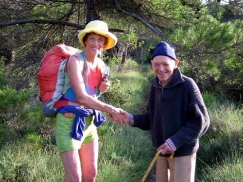
As we were puzzling over the map we met a little old man and his dog, who just appeared out of the undergrowth, although there were no houses anywhere near. I asked him whether we could get to the abbey this way and he inspected me with deep suspicion and asked “Are you German?” When he found out that we were Australian, he was all smiles and said that the abbey could certainly be reached from here, adding that there was a lovely view of its roof from the cliffs.
It was then that we realised that the abbey was not up on the ridge where we were, but down in the deep gorge below. As we parted the old man advised us to try to forget the bad things that happened sixty years ago, advice that he could well have heeded himself.
Pressing on, we came to the cliff line and the track turned south, right on the edge, becoming so rough and loose that a stumble would send you over into the void. Not only was it dangerous, but we could see that it would take us hours to get down to the valley floor, if we ever did. Retreat was the best option*.
The little old man had vanished when we came back, and we very much doubted whether either he or the camping woman had ever been on this track.
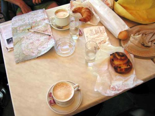
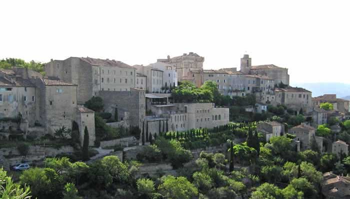
We lost no time returning to Gordes, where we had a second breakfast as a consolation for our trouble, revisiting the Provençale, where we had dined last night. The weekly market was setting up in the château square and the bar was full of stallholders.
Invigorated by pastries and coffee, we set off again at 9 am, this time on the marked GR, which took us down into the valley of Sénanque on a pleasant path parallel to the road.
On the way we passed a strange assemblage of corbelled drystone huts, known locally as “bories”.
It seems that most of these ones were built in the eighteenth and nineteenth centuries, although probably on the ruins of much earlier ones, perhaps even as early as the Bronze Age.
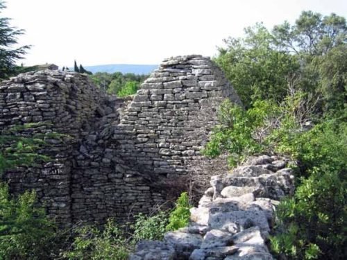
They were used to house animals, and as temporary homes for people tending their crops in the new fields which resulted from a land clearing edict issued by Louis XV. Bories such as these are widespread in Provence.
We cast an eye over towards the fearsome cliffs that we had been on, and saw no sign of a descending track.
The eleventh-century abbey has a nasty eighteenth-century wing on one side, but is still a beautiful, peaceful place, with a field of lavender at the front, a vegetable garden at the back and forest rising all around. Tourists must park their cars at a respectful distance and walk in.
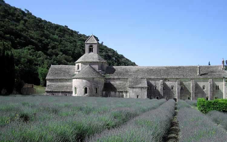
After our frightening little excursion this morning, we were determined to stick to the GR and we picked it up as it was leaving the car park, but after a time it transpired that we were going the wrong way, back towards Gordes (we had not got as far as the car park on our arrival at the abbey).
We had to turn back and find the other bit of GR leaving the car park. This was our second false start of the day, but our last. From then on we did not lose our way once.
The path rose up a valley, not particularly steep, for an hour or so, then up a ridge for another hour, onto a sort of forested plateau, which eventually out into a clearing with a signpost, where we had lunch on a grassy bank with our shoes off.
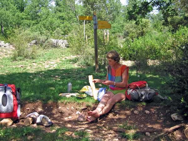
Then began the great descent – an hour and a half of relentless stumbling down a cascade of loose white stones, at first in forest and later in low scrub between tall sculpted cliffs that gradually opened out. Farmland appeared and we joined a little road that curved around and delivered us to the village in a few minutes.
It was a strange looking place, with big square buildings strung out on the side of a large green river, the Sorgue.
A man was taking money at a parking area and we asked him whether there was a bar nearby, at which he rolled his eyes and pointed over the weir. When we crossed over and went round the corner, we found ourselves in a tourist frenzy.
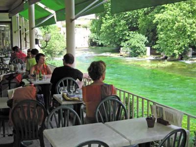
Both sides of the river were crammed with hotels, restaurants, bars, gift shops, and people. All the same, it had an old-fashioned air, like an inter-war honeymoon destination.
There was a lot of concrete about. We took a table at a large brasserie hanging over the river, on which ducks contended with the glassy current, and had our second round of coffee for the day.
Before exploring further we sought out the camping ground, not far away down the road, past the intersection where we had come in.
There was nobody in the office so we set ourselves up over a little footbridge and were fast asleep when the manager came round to collect his fee.
At 7 pm we walked back to the village, still a moving mass of people, tried again to buy the map we needed (with the same lack of success as yesterday), and bought some fruit for breakfast. Then we set off to find the source of the river.
It was a surprisingly long way, a rising concrete road lined with shop and stalls, which were all closing up for the night.
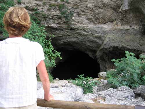
At last we got to the great open maw in the cliff, out of which water surges only in flood. The rest of the time it spurts out from many places among the rocks further down, as it was doing for us.
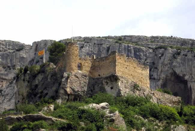
It is a spectacular example of the geological phenomenon common to all of western France – the percolation of rainwater through the porous limestone of the causse, and its reappearance as springs at the foot of the cliffs. Much of the water for this spring comes off Mont Ventoux. Within a hundred metres of its mouth, it is a deep, swift, cold green river.
The spring was a sacred place long before the Romans arrived, and afterwards. In mediaeval times its waters were piped to Cavaillon and later there was a paper-making industry based on water power, which survived until 1968.
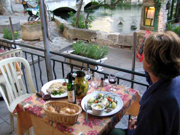
To prepare our palates for dinner, we had pastis and rosé at the brasserie that we had visited before. Across the river and high above it we saw the ruins of a château, flying a brave red and yellow flag despite its decrepitude. This was the château of the bishops of Cavaillon, built on an earlier Roman oppidum.
When the great Italian poet Petrarch came to live in this secluded spot, which at the time was called Vaucluse (the name means “closed valley”), he stayed for fourteen years, writing his poems of love to Laura. Soon after he returned to Italy in 1351, the village was ransacked so brutally that it was temporarily abandoned by its inhabitants.
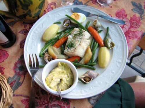
The choice of a restaurant was difficult, as there were so many, but in the end we chose one that offered aïoli, a regional speciality of Provence. We had formed the impression that it was only available on Fridays, but if so, the rule did not apply in this tourist town.
It was the first time I had ever had it and I was not disappointed. Keith had a menu with paté, steak and crème brûlée. He was getting a cold but decided to ignore it.
*The correct way to get down to the abbey from the camping ground is well described in the Cicerone guidebook “Walking in Provence – West”, page 170.
Previous day: Roussillon to Gordes